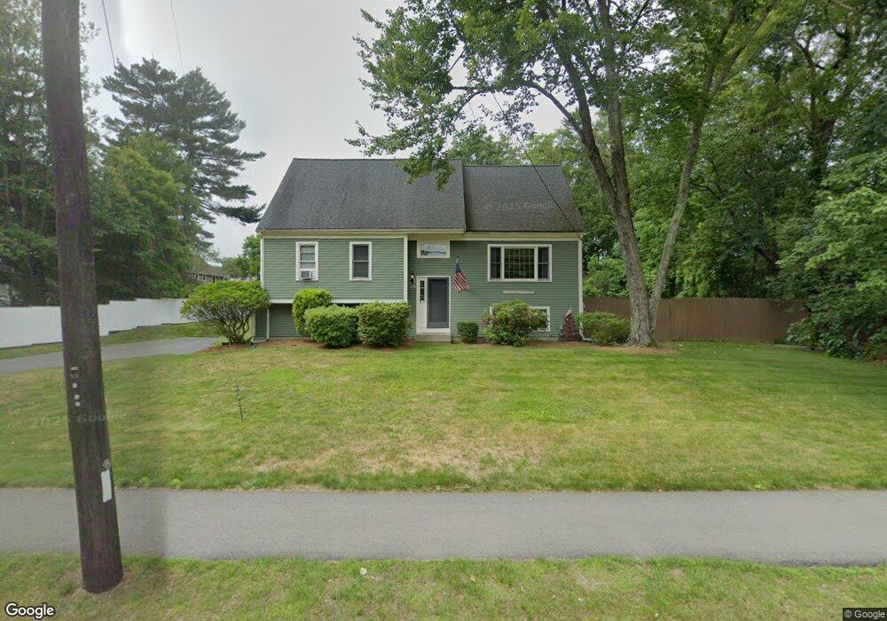
199 High Plain St Walpole, MA 02081
Estimated Value: $727,135 - $828,000
3
Beds
2
Baths
1,750
Sq Ft
$447/Sq Ft
Est. Value
About This Home
This home is located at 199 High Plain St, Walpole, MA 02081 and is currently estimated at $782,284, approximately $447 per square foot. 199 High Plain St is a home located in Norfolk County with nearby schools including Old Post Road School, Walpole Middle School, and Walpole High School.
Ownership History
Date
Name
Owned For
Owner Type
Purchase Details
Closed on
Apr 27, 2021
Sold by
Ciavatonne Esther
Bought by
High Plain Street Rt
Current Estimated Value
Purchase Details
Closed on
Jul 29, 1993
Sold by
T W Caplis Inc
Bought by
Ciavattone Michael P and Ciavattone Esther C
Create a Home Valuation Report for This Property
The Home Valuation Report is an in-depth analysis detailing your home's value as well as a comparison with similar homes in the area
Home Values in the Area
Average Home Value in this Area
Purchase History
We collect this data history from publicly available records. To have your information removed, we recommend requesting removal directly through your county’s website.
| Date | Buyer | Sale Price | Title Company |
|---|---|---|---|
| High Plain Street Rt | -- | None Available | |
| Ciavattone Michael P | $169,900 | -- |
Source: Public Records
Mortgage History
We collect this data history from publicly available records. To have your information removed, we recommend requesting removal directly through your county’s website.
| Date | Status | Borrower | Loan Amount |
|---|---|---|---|
| Previous Owner | Ciavattone Michael P | $215,000 | |
| Previous Owner | Ciavattone Michael P | $215,000 | |
| Previous Owner | Ciavattone Michael P | $224,000 |
Source: Public Records
Tax History
| Year | Tax Paid | Tax Assessment Tax Assessment Total Assessment is a certain percentage of the fair market value that is determined by local assessors to be the total taxable value of land and additions on the property. | Land | Improvement |
|---|---|---|---|---|
| 2025 | $8,411 | $655,600 | $281,300 | $374,300 |
| 2024 | $8,163 | $617,500 | $270,500 | $347,000 |
| 2023 | $7,949 | $572,300 | $235,200 | $337,100 |
| 2022 | $7,482 | $517,400 | $217,800 | $299,600 |
| 2021 | $7,187 | $484,300 | $205,500 | $278,800 |
| 2020 | $6,945 | $463,300 | $183,700 | $279,600 |
| 2019 | $6,703 | $443,900 | $176,600 | $267,300 |
| 2018 | $6,253 | $409,500 | $160,800 | $248,700 |
| 2017 | $6,046 | $394,400 | $154,600 | $239,800 |
| 2016 | $6,017 | $386,700 | $158,000 | $228,700 |
| 2015 | $5,523 | $351,800 | $133,800 | $218,000 |
| 2014 | $5,095 | $323,300 | $133,800 | $189,500 |
Source: Public Records
Map
Nearby Homes
- 53 Highland St
- 2 Rainbow Pond Dr Unit 7
- 19 Rainbow Pond Dr Unit B2
- 10 Country Club Dr
- 1 Providence Hwy
- 7 Lilac Ct
- 40 Neal St
- 29 Pilgrim Way
- 1108 Pennington Dr Unit 1108
- 65-67 Diamond St
- 404 Centre Ln
- 29 Clapp St
- Unit 4 Powder House Ln Unit 4
- 635 Old Post Rd Unit 303
- 881 Main St Unit 5
- 24 Riverside Place
- 510 Common St
- 560 Common St
- 16 York Cir
- 5 Powder House Ln Unit 5
- 200 High Plain St
- 184 High Plain St
- 4 Lorraine Rd
- 210 High Plain St
- 180 High Plain St
- 183 High Plain St (Rte 27)
- 183 High Plain St
- 3 Lorraine Rd
- 8 Lorraine Rd
- 3 Victoria Cir
- 174 High Plain St
- 4 Hummingbird Ln
- 173 High Plain St
- 630 Washington St
- 7 Lorraine Rd
- 8 Hummingbird Ln
- 7 Victoria Cir
- 22 Highland St
- 634 Washington St
- 17 Highland St
Your Personal Tour Guide
Ask me questions while you tour the home.