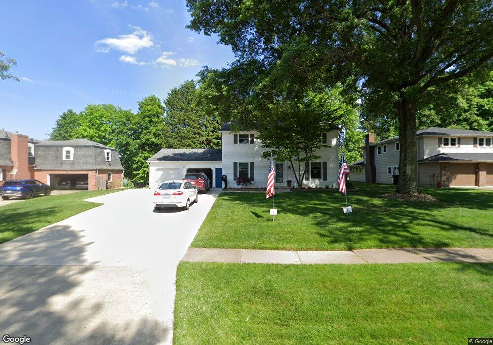
199 High Point Dr Wadsworth, OH 44281
Estimated Value: $310,000 - $366,000
About This Home
This home is located at 199 High Point Dr, Wadsworth, OH 44281 and is currently estimated at $339,552, approximately $157 per square foot. 199 High Point Dr is a home located in Medina County with nearby schools including Overlook Elementary School, Wadsworth Middle School, and Central Intermediate School.
Ownership History
We collect this data history from publicly available records. To have your information removed, we recommend requesting removal directly through your county’s website.
Purchase Details
Purchase Details
Home Financials for this Owner
Home Financials are based on the most recent Mortgage that was taken out on this home.Home Values in the Area
Average Home Value in this Area
Purchase History
We collect this data history from publicly available records. To have your information removed, we recommend requesting removal directly through your county’s website.
| Date | Buyer | Sale Price | Title Company |
|---|---|---|---|
| -- | None Listed On Document | ||
| -- | -- |
Mortgage History
We collect this data history from publicly available records. To have your information removed, we recommend requesting removal directly through your county’s website.
| Date | Status | Borrower | Loan Amount |
|---|---|---|---|
| Previous Owner | $40,000 |
Tax History
We collect this data history from publicly available records. To have your information removed, we recommend requesting removal directly through your county’s website.
| Year | Tax Paid | Tax Assessment Tax Assessment Total Assessment is a certain percentage of the fair market value that is determined by local assessors to be the total taxable value of land and additions on the property. | Land | Improvement |
|---|---|---|---|---|
| 2025 | $3,608 | $95,110 | $26,600 | $68,510 |
| 2024 | $3,608 | $74,800 | $20,780 | $54,020 |
| 2023 | $3,297 | $74,800 | $20,780 | $54,020 |
| 2022 | $3,304 | $74,800 | $20,780 | $54,020 |
| 2021 | $3,126 | $59,840 | $16,630 | $43,210 |
| 2020 | $2,754 | $59,840 | $16,630 | $43,210 |
| 2019 | $2,758 | $59,840 | $16,630 | $43,210 |
| 2018 | $2,466 | $50,160 | $16,680 | $33,480 |
| 2017 | $2,467 | $50,160 | $16,680 | $33,480 |
| 2016 | $2,508 | $50,160 | $16,680 | $33,480 |
| 2015 | $2,391 | $45,590 | $15,160 | $30,430 |
| 2014 | $2,430 | $45,590 | $15,160 | $30,430 |
| 2013 | $2,433 | $45,590 | $15,160 | $30,430 |
Map
- 498 Oak St
- 300 Tanglewood Trail
- 123 Durling Dr
- 502 Farr Ave
- 773 Kristy Ct
- 743 Broad St
- 314 Kaylee Dr
- 587 Red Rock Dr
- 410 Breezewood Cir
- 247 Highland Ave
- 343 3rd St
- 126 Fairview Ave
- 159 N Lyman St
- 347 N Lyman St
- 133 E North St
- 8622 Hunters Ridge Run
- 281 High St
- 119 Barkwood Dr
- 206 Water St
- 180 Country Meadow Ln
- 191 High Point Dr
- 207 High Point Dr
- 183 High Point Dr
- 215 High Point Dr
- 194 High Point Dr
- 204 High Point Dr
- 224 Pheasant Run
- 212 High Point Dr
- 169 Tanglewood Trail
- 173 High Point Dr
- 225 High Point Dr
- 220 Pheasant Run
- 222 High Point Dr
- 228 Pheasant Run
- 199 Tanglewood Trail
- 209 Tanglewood Trail
- 181 Tanglewood Trail
- 163 High Point Dr
- 217 Tanglewood Trail
- 235 High Point Dr
Ask me questions while you tour the home.