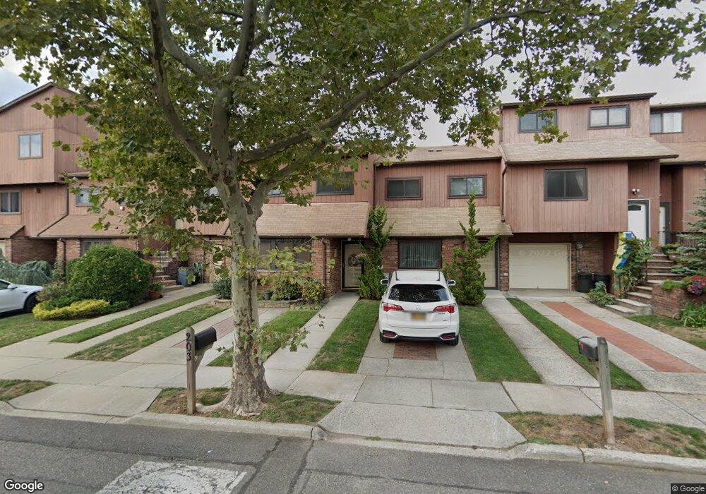
199 Stonegate Dr Unit 13 Staten Island, NY 10304
Concord NeighborhoodEstimated Value: $712,104 - $792,000
About This Home
This home is located at 199 Stonegate Dr Unit 13, Staten Island, NY 10304 and is currently estimated at $744,026, approximately $364 per square foot. 199 Stonegate Dr Unit 13 is a home located in Richmond County with nearby schools including P.S. 48 - William C. Wilcox, I.S. 49 Berta A Dreyfus, and New Dorp High School.
Ownership History
We collect this data history from publicly available records. To have your information removed, we recommend requesting removal directly through your county’s website.
Purchase Details
Home Financials for this Owner
Home Financials are based on the most recent Mortgage that was taken out on this home.Home Values in the Area
Average Home Value in this Area
Purchase History
We collect this data history from publicly available records. To have your information removed, we recommend requesting removal directly through your county’s website.
| Date | Buyer | Sale Price | Title Company |
|---|---|---|---|
| $424,000 | None Available |
Mortgage History
We collect this data history from publicly available records. To have your information removed, we recommend requesting removal directly through your county’s website.
| Date | Status | Borrower | Loan Amount |
|---|---|---|---|
| Open | $339,200 |
Tax History
We collect this data history from publicly available records. To have your information removed, we recommend requesting removal directly through your county’s website.
| Year | Tax Paid | Tax Assessment Tax Assessment Total Assessment is a certain percentage of the fair market value that is determined by local assessors to be the total taxable value of land and additions on the property. | Land | Improvement |
|---|---|---|---|---|
| 2026 | $6,151 | $51,607 | $3,179 | $48,428 |
| 2025 | $6,105 | $42,415 | $3,868 | $38,547 |
| 2024 | $6,105 | $34,670 | $4,697 | $29,973 |
| 2023 | $5,824 | $28,675 | $4,756 | $23,919 |
| 2022 | $5,400 | $28,758 | $5,357 | $23,401 |
| 2021 | $5,068 | $25,521 | $5,357 | $20,164 |
| 2020 | $5,673 | $28,582 | $5,357 | $23,225 |
| 2019 | $5,369 | $27,064 | $5,357 | $21,707 |
| 2018 | $5,064 | $26,304 | $5,233 | $21,071 |
| 2017 | $4,759 | $24,816 | $5,357 | $19,459 |
| 2016 | $4,460 | $23,862 | $5,357 | $18,505 |
| 2015 | $4,143 | $23,499 | $5,358 | $18,141 |
| 2014 | $4,143 | $23,176 | $4,936 | $18,240 |
Map
- 65 Stanwich St
- 579 Britton Ave
- 469 Oder Ave
- 99 Stonegate Dr Unit 226
- 999 W Fingerboard Rd
- 979 W Fingerboard Rd Unit 284
- 24 Roosevelt St
- 951 W Fingerboard Rd Unit 272
- 572 Mosel Ave
- 26 Cobblers Ln Unit 30
- 929 W Fingerboard Rd
- 15 Roosevelt St
- 4 Wilson Terrace
- 72 N Railroad Ave
- 2007 Clove Rd
- 25 Grasmere Ave
- 26 Sheridan Ave
- 0 Douglas Rd
- 125 Meadow Ave
- 1107 Richmond Rd
- 655 Britton Ave Unit 2
- 653 Britton Ave Unit 1
- 657 Britton Ave Unit 3
- 659 Britton Ave Unit 4
- 661 Britton Ave
- 663 Britton Ave Unit 6
- 209 Stonegate Dr Unit 8
- 665 Britton Ave
- 207 Stonegate Dr Unit 9
- 108 Alan Loop Unit 33
- 205 Stonegate Dr
- 641 Britton Ave
- 667 Britton Ave
- 106 Alan Loop
- 106 Alan Loop Unit 1
- 203 Stonegate Dr Unit 11
- 47 Pamela Ln Unit 114
- 103 Stanwich St
- 105 Stanwich St Unit 110
- 196 Stonegate Dr
Ask me questions while you tour the home.