199 Tolbert Rd Rockmart, GA 30153
Estimated Value: $291,000 - $354,526
2
Beds
2
Baths
1,400
Sq Ft
$230/Sq Ft
Est. Value
About This Home
This home is located at 199 Tolbert Rd, Rockmart, GA 30153 and is currently estimated at $321,632, approximately $229 per square foot. 199 Tolbert Rd is a home located in Haralson County with nearby schools including Haralson County High School.
Ownership History
Date
Name
Owned For
Owner Type
Purchase Details
Closed on
Apr 21, 2020
Sold by
Tolbert Amber Rose
Bought by
Tolbert Phillip Eugene
Current Estimated Value
Purchase Details
Closed on
Mar 15, 2013
Sold by
Tolbert Phillip Eugene
Bought by
Priest Randall K and Priest Lesha D
Purchase Details
Closed on
Oct 1, 2009
Sold by
Tolbert Phillip Eugene and Terri Deann Hei
Bought by
Priest Randall K and Priest Lesha D
Home Financials for this Owner
Home Financials are based on the most recent Mortgage that was taken out on this home.
Original Mortgage
$21,012
Interest Rate
5.11%
Mortgage Type
New Conventional
Purchase Details
Closed on
Aug 27, 2004
Sold by
Tolbert Phillip Eugene
Bought by
Tolbert Phillip Eugene and Terri Dean
Purchase Details
Closed on
Dec 4, 2001
Sold by
Tolbert Benny L and Tolbert Others
Bought by
Tolbert Phillip Eugene
Create a Home Valuation Report for This Property
The Home Valuation Report is an in-depth analysis detailing your home's value as well as a comparison with similar homes in the area
Purchase History
| Date | Buyer | Sale Price | Title Company |
|---|---|---|---|
| Tolbert Phillip Eugene | -- | -- | |
| Tolbert Phillip Eugene | -- | -- | |
| Priest Randall K | -- | -- | |
| Priest Randall K | $1,000 | -- | |
| Tolbert Phillip Eugene | -- | -- | |
| Tolbert Phillip Eugene | -- | -- |
Source: Public Records
Mortgage History
| Date | Status | Borrower | Loan Amount |
|---|---|---|---|
| Previous Owner | Priest Randall K | $21,012 |
Source: Public Records
Tax History
| Year | Tax Paid | Tax Assessment Tax Assessment Total Assessment is a certain percentage of the fair market value that is determined by local assessors to be the total taxable value of land and additions on the property. | Land | Improvement |
|---|---|---|---|---|
| 2025 | $1,987 | $148,758 | $44,802 | $103,956 |
| 2024 | $1,987 | $95,974 | $21,612 | $74,362 |
| 2023 | $2,040 | $93,898 | $19,889 | $74,009 |
| 2022 | $1,571 | $76,505 | $19,889 | $56,616 |
| 2021 | $1,544 | $72,542 | $19,096 | $53,446 |
| 2020 | $1,566 | $73,166 | $19,096 | $54,070 |
| 2019 | $1,505 | $69,057 | $19,096 | $49,961 |
| 2018 | $1,525 | $69,057 | $19,096 | $49,961 |
| 2017 | $1,478 | $62,989 | $19,096 | $43,893 |
| 2016 | $1,229 | $57,856 | $19,259 | $38,597 |
| 2015 | $1,214 | $57,417 | $19,259 | $38,158 |
| 2014 | $1,207 | $57,856 | $19,259 | $38,597 |
Source: Public Records
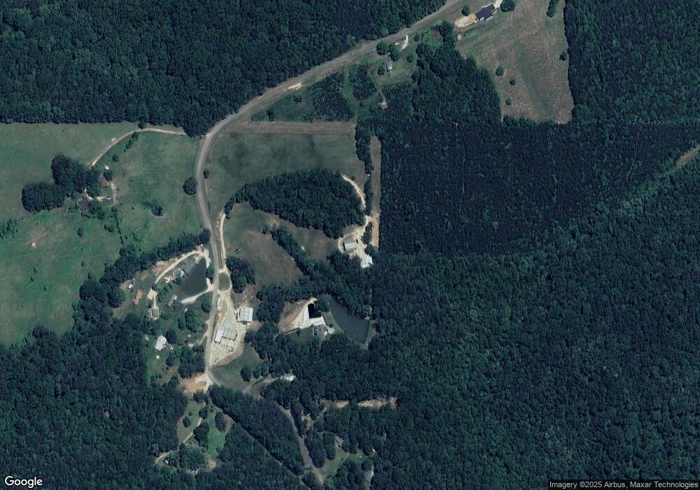
Map
Nearby Homes
- 0 Hutcheson Road Off
- 3462 Vinson Mountain Rd
- 3512 Vinson Mountain Rd
- None Maner Rd
- 748 Maner Rd
- 3639 Holly Springs Rd
- 342 Miller Path
- 298 Randall Dr
- 174 Randall Dr
- 0 Allgood Church Rd Unit 144628
- 0 Allgood Church Rd Unit 26324021
- 35 Grove Ln
- 56 Pleasant Forest Ct
- 1470 Ben Davis Rd
- 1806 Browning Rd
- 163 Golden Rd
- 96 Southern Trace Dr
- 440 Prometheous Way
- 385 Prometheous Way
- 217 Duke Path
Your Personal Tour Guide
Ask me questions while you tour the home.