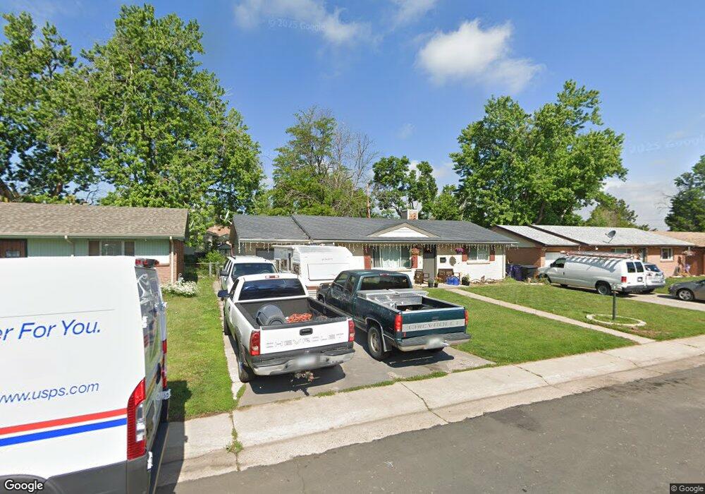
1991 S Stuart St Denver, CO 80219
Harvey Park NeighborhoodEstimated Value: $583,000 - $619,000
4
Beds
3
Baths
2,154
Sq Ft
$276/Sq Ft
Est. Value
About This Home
This home is located at 1991 S Stuart St, Denver, CO 80219 and is currently estimated at $595,376, approximately $276 per square foot. 1991 S Stuart St is a home located in Denver County with nearby schools including Doull Elementary School, Bear Valley International School, and John F Kennedy High School.
Ownership History
Date
Name
Owned For
Owner Type
Purchase Details
Closed on
Aug 14, 2015
Sold by
Usonia Properties Llc
Bought by
Peres Matthew
Current Estimated Value
Home Financials for this Owner
Home Financials are based on the most recent Mortgage that was taken out on this home.
Original Mortgage
$256,800
Outstanding Balance
$200,383
Interest Rate
4.12%
Mortgage Type
New Conventional
Estimated Equity
$394,993
Purchase Details
Closed on
May 1, 2015
Sold by
Hunt Floyd A
Bought by
Usonia Properties Llc
Purchase Details
Closed on
Jul 11, 2002
Sold by
Hartman M Brad and Hartman April D
Bought by
Hunt Floyd A and Hunt Mariea L
Home Financials for this Owner
Home Financials are based on the most recent Mortgage that was taken out on this home.
Original Mortgage
$209,709
Interest Rate
6.76%
Mortgage Type
FHA
Purchase Details
Closed on
Oct 21, 1995
Sold by
Hartman M Brad
Bought by
Hartman M Brad and Hartman April D
Home Financials for this Owner
Home Financials are based on the most recent Mortgage that was taken out on this home.
Original Mortgage
$33,000
Interest Rate
7.34%
Create a Home Valuation Report for This Property
The Home Valuation Report is an in-depth analysis detailing your home's value as well as a comparison with similar homes in the area
Home Values in the Area
Average Home Value in this Area
Purchase History
| Date | Buyer | Sale Price | Title Company |
|---|---|---|---|
| Peres Matthew | $321,000 | First American | |
| Usonia Properties Llc | $210,000 | First American | |
| Hunt Floyd A | $213,000 | -- | |
| Hartman M Brad | -- | -- |
Source: Public Records
Mortgage History
| Date | Status | Borrower | Loan Amount |
|---|---|---|---|
| Open | Peres Matthew | $256,800 | |
| Previous Owner | Hunt Floyd A | $209,709 | |
| Previous Owner | Hartman M Brad | $33,000 |
Source: Public Records
Tax History
| Year | Tax Paid | Tax Assessment Tax Assessment Total Assessment is a certain percentage of the fair market value that is determined by local assessors to be the total taxable value of land and additions on the property. | Land | Improvement |
|---|---|---|---|---|
| 2025 | $3,022 | $44,190 | $6,930 | $6,930 |
| 2024 | $3,022 | $38,160 | $2,900 | $35,260 |
| 2023 | $2,957 | $38,160 | $2,900 | $35,260 |
| 2022 | $2,438 | $30,660 | $6,830 | $23,830 |
| 2021 | $2,354 | $31,550 | $7,030 | $24,520 |
| 2020 | $2,180 | $29,380 | $6,560 | $22,820 |
| 2019 | $2,119 | $29,380 | $6,560 | $22,820 |
| 2018 | $1,854 | $23,960 | $5,660 | $18,300 |
| 2017 | $1,848 | $23,960 | $5,660 | $18,300 |
| 2016 | $1,343 | $16,470 | $5,214 | $11,256 |
| 2015 | $1,287 | $16,470 | $5,214 | $11,256 |
| 2014 | $1,130 | $13,610 | $2,611 | $10,999 |
Source: Public Records
Map
Nearby Homes
- 2069 S Raleigh St
- 1867 S Tennyson St
- 1883 S Perry Way
- 4760 W Evans Ave
- 3945 W Evans Ave
- 1982 S Wolcott Ct
- 1817 S Perry Way
- 1696 S Tennyson St
- 4790 W Mexico Ave
- 1643 S Quitman St
- 1654 S Perry St
- 2068 S Zenobia St
- 1624 S Patton Ct
- 1634 S Newton St
- 2438 S Perry St
- 1681 S Zenobia Way
- 1910 S King St
- 1629 S Mabry Way
- 2275 S Linley Ct
- 1750 S Ames St
- 2001 S Stuart St
- 1971 S Stuart St
- 1972 S Tennyson St
- 2021 S Stuart St
- 1951 S Stuart St
- 1962 S Tennyson St
- 1992 S Tennyson St
- 1990 S Stuart St
- 2000 S Stuart St
- 1970 S Stuart St
- 2041 S Stuart St
- 1952 S Tennyson St
- 1931 S Stuart St
- 2002 S Tennyson St
- 1950 S Stuart St
- 2020 S Stuart St
- 1932 S Tennyson St
- 1930 S Stuart St
- 2022 S Tennyson St
- 1912 S Tennyson St
Your Personal Tour Guide
Ask me questions while you tour the home.