1992 Keystone Way Unit 21 Conyers, GA 30012
Estimated Value: $354,266 - $364,000
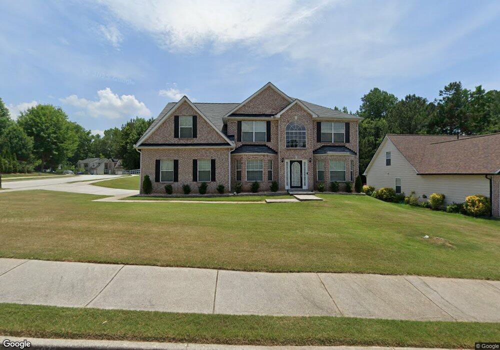
About This Home
This home is located at 1992 Keystone Way Unit 21, Conyers, GA 30012 and is currently estimated at $360,317, approximately $112 per square foot. 1992 Keystone Way Unit 21 is a home located in Rockdale County with nearby schools including Hicks Elementary School, Conyers Middle School, and Rockdale County High School.
Ownership History
We collect this data history from publicly available records. To have your information removed, we recommend requesting removal directly through your county’s website.
Purchase Details
Purchase Details
Home Financials for this Owner
Home Financials are based on the most recent Mortgage that was taken out on this home.Home Values in the Area
Average Home Value in this Area
Purchase History
We collect this data history from publicly available records. To have your information removed, we recommend requesting removal directly through your county’s website.
| Date | Buyer | Sale Price | Title Company |
|---|---|---|---|
| $320,000 | -- | ||
| $320,000 | -- | ||
| $218,900 | -- | ||
| $218,900 | -- |
Mortgage History
We collect this data history from publicly available records. To have your information removed, we recommend requesting removal directly through your county’s website.
| Date | Status | Borrower | Loan Amount |
|---|---|---|---|
| Previous Owner | $32,826 | ||
| Previous Owner | $175,072 |
Tax History
We collect this data history from publicly available records. To have your information removed, we recommend requesting removal directly through your county’s website.
| Year | Tax Paid | Tax Assessment Tax Assessment Total Assessment is a certain percentage of the fair market value that is determined by local assessors to be the total taxable value of land and additions on the property. | Land | Improvement |
|---|---|---|---|---|
| 2025 | $8,523 | $157,880 | $27,200 | $130,680 |
| 2024 | $7,695 | $138,280 | $27,720 | $110,560 |
| 2023 | $7,661 | $133,480 | $26,800 | $106,680 |
| 2022 | $6,545 | $112,560 | $20,960 | $91,600 |
| 2021 | $3,928 | $98,040 | $18,800 | $79,240 |
| 2020 | $3,730 | $88,600 | $16,000 | $72,600 |
| 2019 | $2,686 | $65,200 | $8,800 | $56,400 |
| 2018 | $1,554 | $65,200 | $8,800 | $56,400 |
| 2017 | $1,926 | $51,720 | $10,400 | $41,320 |
| 2016 | $1,784 | $50,240 | $7,200 | $43,040 |
| 2015 | $1,023 | $50,240 | $7,200 | $43,040 |
| 2014 | $776 | $44,840 | $6,400 | $38,440 |
| 2013 | -- | $54,120 | $8,800 | $45,320 |
Map
- 1962 Bridgestone Cir
- 1740 Middle Brook Dr
- 1928 Cornerstone Pass
- 1669 E Brook Dr
- 1255 Brookstone Cir
- 2131 Bridgestone Business Pkwy
- 1526 Battle Brook Dr
- 1262 Brookstone Cir
- 1640 Andalusian Way
- 1325 Brookstone Lake Dr
- 1332 Slaton Manor Dr
- 1210 Brookstone Cir
- 2096 Boar Tusk Rd NE
- 1773 Green St NE
- 1735 Hill St NE
- 2025 Highway 138 NE
- 2443 Highway 138
- 1794 Spring St NE
- 1270 Pine Knoll Ln NE
- 2173 Tanglewood Trail NE
- 1996 Bridgestone Cir
- 1998 Bridgestone Cir
- 1915 Keystone Way
- 1913 Keystone Way
- 1460 Cliffview Terrace Unit 152
- 1997 Bridgestone Cir
- 2000 Bridgestone Cir
- 1995 Bridgestone Cir
- 1999 Bridgestone Cir Unit 130
- 1999 Bridgestone Cir
- 1993 Bridgestone Cir
- 1466 Cliffview Terrace
- 2001 Bridgestone Cir
- 1992 Keystone Way
- 1914 Keystone Way
- 2002 Bridgestone Cir
- 1967 Bridgestone Cir
- 1991 Bridgestone Cir
- 1969 Bridgestone Cir
- 1965 Bridgestone Cir
Ask me questions while you tour the home.