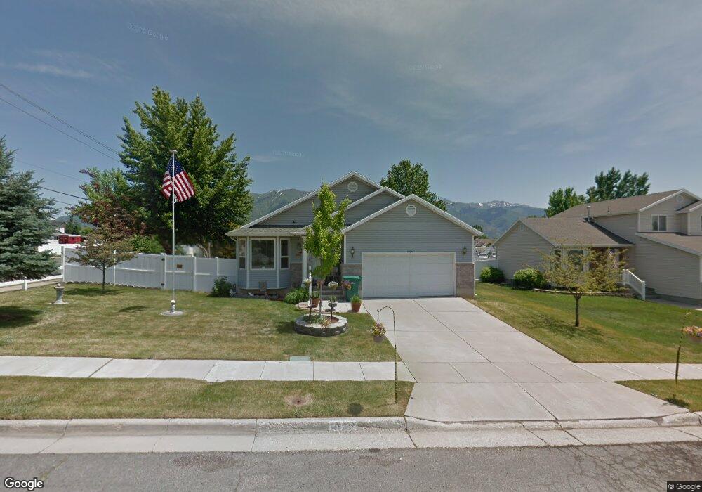
1994 N 150 W Layton, UT 84041
Layton AreaEstimated Value: $482,000 - $538,683
About This Home
This home is located at 1994 N 150 W, Layton, UT 84041 and is currently estimated at $500,671, approximately $186 per square foot. 1994 N 150 W is a home located in Davis County with nearby schools including Lincoln Elementary School, North Layton Junior High School, and Northridge High School.
Ownership History
We collect this data history from publicly available records. To have your information removed, we recommend requesting removal directly through your county’s website.
Purchase Details
Home Financials for this Owner
Home Financials are based on the most recent Mortgage that was taken out on this home.Purchase Details
Home Financials for this Owner
Home Financials are based on the most recent Mortgage that was taken out on this home.Home Values in the Area
Average Home Value in this Area
Purchase History
We collect this data history from publicly available records. To have your information removed, we recommend requesting removal directly through your county’s website.
| Date | Buyer | Sale Price | Title Company |
|---|---|---|---|
| -- | Backman Stewart Title Servic | ||
| -- | Backman Stewart Title Servic |
Mortgage History
We collect this data history from publicly available records. To have your information removed, we recommend requesting removal directly through your county’s website.
| Date | Status | Borrower | Loan Amount |
|---|---|---|---|
| Open | $121,500 | ||
| Closed | $162,039 | ||
| Closed | $168,000 | ||
| Closed | $130,000 |
Tax History
We collect this data history from publicly available records. To have your information removed, we recommend requesting removal directly through your county’s website.
| Year | Tax Paid | Tax Assessment Tax Assessment Total Assessment is a certain percentage of the fair market value that is determined by local assessors to be the total taxable value of land and additions on the property. | Land | Improvement |
|---|---|---|---|---|
| 2025 | -- | $257,400 | $95,169 | $162,231 |
| 2024 | -- | $245,850 | $110,995 | $134,855 |
| 2023 | $735 | $435,000 | $132,924 | $302,076 |
| 2022 | $735 | $244,750 | $69,990 | $174,760 |
| 2021 | $286 | $344,000 | $97,417 | $246,583 |
| 2020 | $110 | $299,000 | $82,288 | $216,712 |
| 2019 | $262 | $282,000 | $78,447 | $203,553 |
| 2018 | $262 | $274,000 | $78,447 | $195,553 |
| 2016 | $1,671 | $122,705 | $24,856 | $97,849 |
| 2015 | $1,695 | $118,195 | $24,856 | $93,339 |
| 2014 | $1,577 | $112,474 | $24,856 | $87,618 |
| 2013 | $1,696 | $114,514 | $26,884 | $87,630 |
Map
- 1908 N 200 W
- 2082 Evans Cove Loop
- 1819 Clark Dr
- 1828 N 225 W
- 262 W 1850 N
- 12 E 2150 N
- 103 W 2250 N
- 1729 Arnold Dr
- 1683 N 250 W
- 2178 N 525 W
- 2186 N 525 W
- 2500 N Fort Ln Unit 238
- 2500 N Fort Ln Unit 220
- 2500 N Fort Ln Unit 212
- 2600 N Hill Field Rd Unit 134
- 2600 N Hill Field Rd Unit 27
- 2600 N Hill Field Rd Unit 5
- 2600 N Hill Field Rd Unit 86
- 2600 N Hill Field Rd Unit 71
- 2600 N Hill Field Rd Unit 103A
- 1982 N 150 W
- 1963 N 50 W
- 1961 N 150 W
- 165 W Antelope Dr
- 74 W 2000 N
- 2024 Evans Cove Loop
- 2026 Evans Cove Loop
- 1963 N 150 W
- 1956 N 150 W
- 2028 Evans Cove Loop
- 1953 N 50 W
- 2030 Evans Cove Loop
- 2017 N 50 W
- 1949 N 150 W
- 1942 N 150 W
- 1982 N 200 W
- 2032 Evans Cove Loop
- 1970 N 200 W
- 1939 N 50 W
- 2036 Evans Cove Loop
Ask me questions while you tour the home.