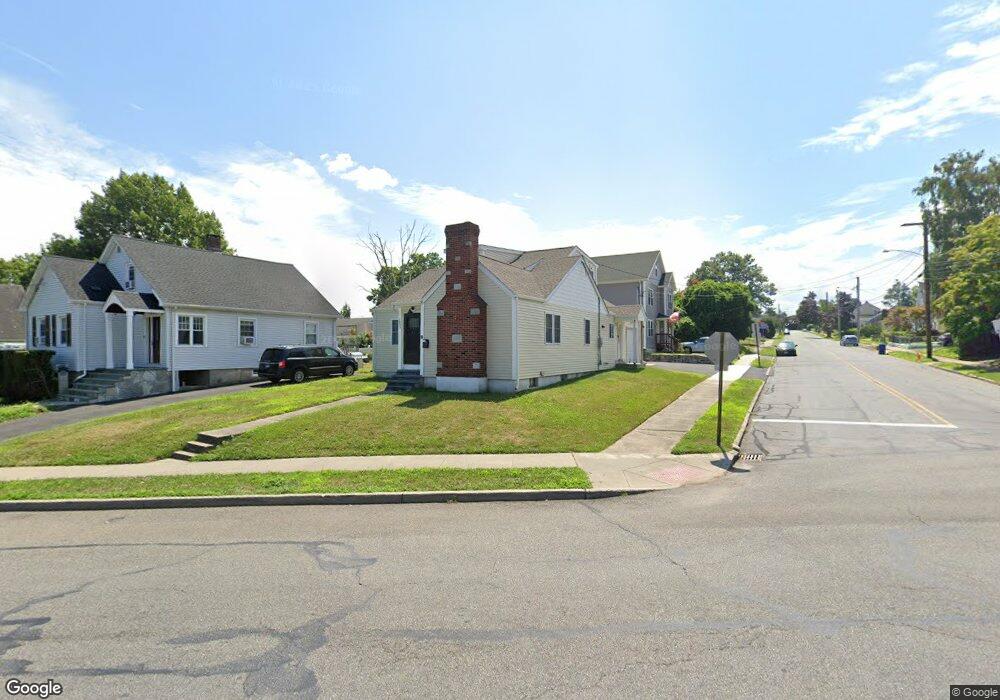
1995 Madison Ave Bridgeport, CT 06606
North End NeighborhoodEstimated Value: $371,000 - $417,756
About This Home
This home is located at 1995 Madison Ave, Bridgeport, CT 06606 and is currently estimated at $393,939, approximately $303 per square foot. 1995 Madison Ave is a home located in Fairfield County with nearby schools including Blackham School, Central High School, and The Unquowa School.
Ownership History
We collect this data history from publicly available records. To have your information removed, we recommend requesting removal directly through your county’s website.
Purchase Details
Purchase Details
Home Financials for this Owner
Home Financials are based on the most recent Mortgage that was taken out on this home.Home Values in the Area
Average Home Value in this Area
Purchase History
We collect this data history from publicly available records. To have your information removed, we recommend requesting removal directly through your county’s website.
| Date | Buyer | Sale Price | Title Company |
|---|---|---|---|
| $117,000 | None Available | ||
| $117,000 | None Available | ||
| $50,000 | -- | ||
| $50,000 | -- |
Mortgage History
We collect this data history from publicly available records. To have your information removed, we recommend requesting removal directly through your county’s website.
| Date | Status | Borrower | Loan Amount |
|---|---|---|---|
| Previous Owner | $93,750 |
Tax History
We collect this data history from publicly available records. To have your information removed, we recommend requesting removal directly through your county’s website.
| Year | Tax Paid | Tax Assessment Tax Assessment Total Assessment is a certain percentage of the fair market value that is determined by local assessors to be the total taxable value of land and additions on the property. | Land | Improvement |
|---|---|---|---|---|
| 2025 | $7,190 | $165,476 | $68,626 | $96,850 |
| 2024 | $7,190 | $165,476 | $68,626 | $96,850 |
| 2023 | $7,190 | $165,476 | $68,626 | $96,850 |
| 2022 | $5,890 | $135,556 | $68,626 | $66,930 |
| 2021 | $5,653 | $130,106 | $68,626 | $61,480 |
| 2020 | $4,978 | $92,200 | $39,450 | $52,750 |
| 2019 | $4,978 | $92,200 | $39,450 | $52,750 |
| 2018 | $5,013 | $92,200 | $39,450 | $52,750 |
| 2017 | $5,013 | $92,200 | $39,450 | $52,750 |
| 2016 | $5,013 | $92,200 | $39,450 | $52,750 |
| 2015 | $4,926 | $116,720 | $45,540 | $71,180 |
| 2014 | $4,926 | $116,720 | $45,540 | $71,180 |
Map
- 210 Stratfield Place
- 150 Stratfield Place
- 3200 Park Ave Unit 5C2
- 3200 Park Ave Unit 11E1
- 855 Burnsford Ave
- 3300 Park Ave Unit 33
- 646 Merritt St
- 300 Birmingham St
- 900 Merritt St
- 669 Queen St
- 315-317 Alexander Ave
- 27 Plateau Ave
- 56 Peet St
- 68 Cornell St
- 1099 Merritt St
- 838 Ruth St
- 73 Inwood Rd
- 184 Rosemere Ave
- 78 Rena Place
- 405 Westfield Ave
- 805 Thorme St
- 795 Thorme St
- 162 Northfield St
- 825 Thorme St
- 150 Baker St
- 820 Thorme St
- 1985 Madison Ave
- 835 Thorme St
- 810 Thorme St
- 183 Northfield St
- 790 Thorme St
- 812 Thorme St
- 1975 Madison Ave
- 830 Thorme St
- 845 Thorme St
- 2041 Madison Ave
- 163 Northfield St
- 842 Thorme St
- 140 Baker St
- 1963 Madison Ave
Ask me questions while you tour the home.