1997 Bashan Dr Unit 81A Columbus, OH 43228
Estimated Value: $202,000 - $223,000
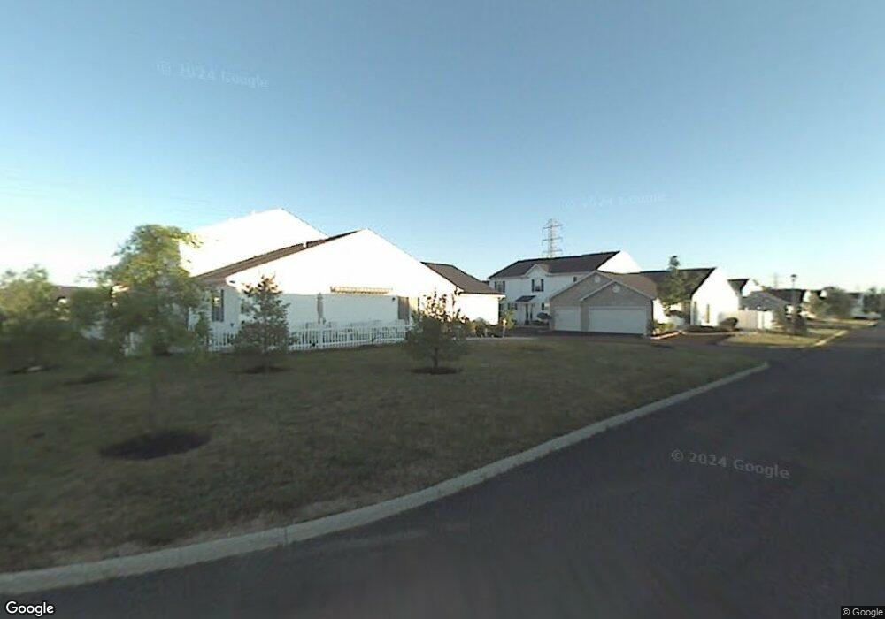
About This Home
This home is located at 1997 Bashan Dr Unit 81A, Columbus, OH 43228 and is currently estimated at $210,273, approximately $166 per square foot. 1997 Bashan Dr Unit 81A is a home located in Franklin County with nearby schools including Bolton Crossing Elementary School, Holt Crossing Intermediate School, and Pleasant View Middle School.
Ownership History
We collect this data history from publicly available records. To have your information removed, we recommend requesting removal directly through your county’s website.
Purchase Details
Home Financials for this Owner
Home Financials are based on the most recent Mortgage that was taken out on this home.Purchase Details
Purchase Details
Home Financials for this Owner
Home Financials are based on the most recent Mortgage that was taken out on this home.Purchase History
We collect this data history from publicly available records. To have your information removed, we recommend requesting removal directly through your county’s website.
| Date | Buyer | Sale Price | Title Company |
|---|---|---|---|
| $110,000 | Attorney | ||
| -- | -- | ||
| $112,500 | Lawyers Title |
Mortgage History
We collect this data history from publicly available records. To have your information removed, we recommend requesting removal directly through your county’s website.
| Date | Status | Borrower | Loan Amount |
|---|---|---|---|
| Open | $108,007 | ||
| Previous Owner | $84,324 |
Tax History
We collect this data history from publicly available records. To have your information removed, we recommend requesting removal directly through your county’s website.
| Year | Tax Paid | Tax Assessment Tax Assessment Total Assessment is a certain percentage of the fair market value that is determined by local assessors to be the total taxable value of land and additions on the property. | Land | Improvement |
|---|---|---|---|---|
| 2025 | $1,722 | $57,020 | $10,500 | $46,520 |
| 2024 | $1,722 | $57,020 | $10,500 | $46,520 |
| 2023 | $1,714 | $57,015 | $10,500 | $46,515 |
| 2022 | $2,001 | $40,990 | $4,550 | $36,440 |
| 2021 | $2,041 | $40,990 | $4,550 | $36,440 |
| 2020 | $1,972 | $39,830 | $4,550 | $35,280 |
| 2019 | $1,718 | $30,630 | $3,500 | $27,130 |
| 2018 | $1,646 | $30,630 | $3,500 | $27,130 |
| 2017 | $1,642 | $30,630 | $3,500 | $27,130 |
| 2016 | $1,582 | $26,150 | $3,820 | $22,330 |
| 2015 | $1,582 | $26,150 | $3,820 | $22,330 |
| 2014 | $1,584 | $26,150 | $3,820 | $22,330 |
| 2013 | $924 | $30,765 | $4,480 | $26,285 |
Map
- 1842 Bashan Dr Unit 75F
- 4645 Parrau Dr Unit 68C
- 4696 Shalers Dr Unit 52B
- 4689 Parrau Dr Unit 61A
- 4705 Hobson Dr Unit 3D
- 2148 Dunkeld Dr
- 2181 Holt Rd
- 4541 Parkwick Dr
- 1787 Westbrook Village Dr
- 2001 Berrancher Dr Unit 2001
- 1852 Berrancher Dr Unit 1852
- 4478 Knoll Crest Dr
- 4628 Parkwick Dr
- 1800 Georgesville Square Dr
- 2345 Demorest Rd
- 3986 Snowcreek Dr
- 2134 Exemplar Ct
- 2446 Rosecrest St
- 1669 Demorest Rd
- 2489 Snowtip Ln
- 1967 Bashan Dr Unit 82D
- 1969 Bashan Dr Unit 82C
- 1971 Bashan Dr Unit 82B
- 1965 Bashan Dr Unit 82E
- 1973 Bashan Dr Unit 82A
- 1995 Bashan Dr Unit 81B
- 1945 Bashan Dr Unit 79B
- 1943 Bashan Dr Unit 79A
- 1943 Bashan Dr Unit 79C
- 1947 Bashan Dr Unit 79A
- 1993 Bashan Dr Unit 81C
- 1991 Bashan Dr Unit 81D
- 1989 Bashan Dr Unit 81E
- 1939 Bashan Dr Unit 79E
- 1941 Bashan Dr Unit 79D
- 1970 Bashan Dr Unit 83B
- 1972 Bashan Dr Unit 83C
- 4583 Hobson Dr Unit 84D
- 1968 Bashan Dr Unit 83A
- 1976 Bashan Dr Unit 83E
Ask me questions while you tour the home.