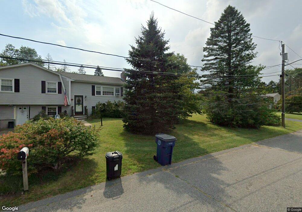
1A Samoset Cir Medway, MA 02053
Estimated Value: $606,364 - $789,000
3
Beds
2
Baths
1,700
Sq Ft
$398/Sq Ft
Est. Value
About This Home
This home is located at 1A Samoset Cir, Medway, MA 02053 and is currently estimated at $676,341, approximately $397 per square foot. 1A Samoset Cir is a home located in Norfolk County with nearby schools including John D. McGovern Elementary School, Burke-Memorial Elementary, and Medway Middle School.
Ownership History
Date
Name
Owned For
Owner Type
Purchase Details
Closed on
Jun 30, 1999
Sold by
Barrett Christopher M and Barrett Jill L
Bought by
Piche Andre W and Piche Katherine C
Current Estimated Value
Home Financials for this Owner
Home Financials are based on the most recent Mortgage that was taken out on this home.
Original Mortgage
$198,400
Outstanding Balance
$53,951
Interest Rate
7.19%
Mortgage Type
Purchase Money Mortgage
Estimated Equity
$622,390
Create a Home Valuation Report for This Property
The Home Valuation Report is an in-depth analysis detailing your home's value as well as a comparison with similar homes in the area
Home Values in the Area
Average Home Value in this Area
Purchase History
| Date | Buyer | Sale Price | Title Company |
|---|---|---|---|
| Piche Andre W | $248,000 | -- |
Source: Public Records
Mortgage History
| Date | Status | Borrower | Loan Amount |
|---|---|---|---|
| Open | Piche Andre W | $198,400 |
Source: Public Records
Tax History
| Year | Tax Paid | Tax Assessment Tax Assessment Total Assessment is a certain percentage of the fair market value that is determined by local assessors to be the total taxable value of land and additions on the property. | Land | Improvement |
|---|---|---|---|---|
| 2025 | $7,999 | $561,300 | $290,300 | $271,000 |
| 2024 | $8,083 | $561,300 | $290,300 | $271,000 |
| 2023 | $7,831 | $491,300 | $240,500 | $250,800 |
| 2022 | $7,840 | $463,100 | $213,600 | $249,500 |
| 2021 | $7,482 | $428,500 | $197,000 | $231,500 |
| 2020 | $7,173 | $409,900 | $182,500 | $227,400 |
| 2019 | $6,623 | $390,300 | $182,500 | $207,800 |
| 2018 | $6,713 | $380,100 | $174,200 | $205,900 |
| 2017 | $6,172 | $344,400 | $134,400 | $210,000 |
| 2016 | $6,147 | $339,400 | $129,400 | $210,000 |
| 2015 | $5,935 | $325,400 | $119,400 | $206,000 |
| 2014 | $5,369 | $285,000 | $119,400 | $165,600 |
Source: Public Records
Map
Nearby Homes
- 280 Village St Unit F1
- 253 Village St
- 236 Village St
- 8 Gable Way
- 1391 Pond St
- 19 Sahlin Cir
- 176 Main St Unit 3
- 12 Harborwood Dr
- 10 Blue Jay St
- 14 Sanford St Unit 47
- 839 Lincoln St
- 22 Milford St
- 20 Broad St Unit 1
- 20 Broad St Unit 6
- 20 Broad St Unit A
- 20 Broad St Unit 4
- 4 Linda Ln
- 10 Barber St
- 24 Winthrop Dr
- 394 Village St
Your Personal Tour Guide
Ask me questions while you tour the home.