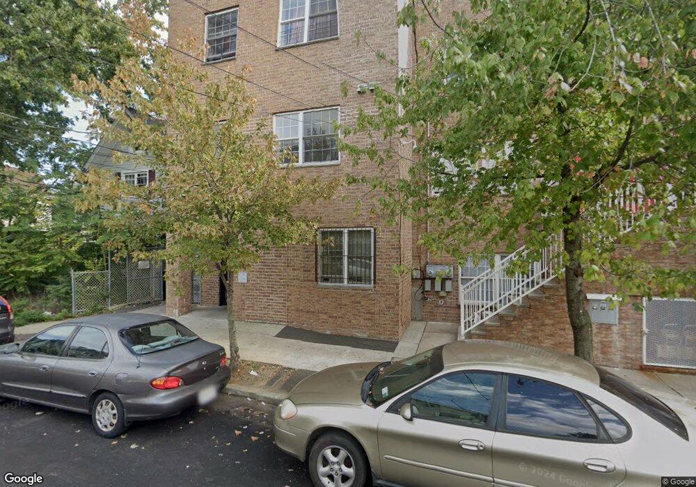
1B Maple Ave Staten Island, NY 10302
Port Richmond NeighborhoodEstimated Value: $358,875 - $705,000
Studio
--
Bath
578
Sq Ft
$859/Sq Ft
Est. Value
About This Home
This home is located at 1B Maple Ave, Staten Island, NY 10302 and is currently estimated at $496,292, approximately $858 per square foot. 1B Maple Ave is a home located in Richmond County with nearby schools including P.S. 20 Port Richmond, I.S. 51 Edwin Markham, and Port Richmond High School.
Ownership History
Date
Name
Owned For
Owner Type
Purchase Details
Closed on
Dec 30, 2020
Sold by
41 Maple Holdings Llc
Bought by
47 51 Maple Holdings Llc
Current Estimated Value
Purchase Details
Closed on
May 7, 2019
Sold by
Top Gear Enterprises Llc
Bought by
41 Maple Holdings Llc
Purchase Details
Closed on
Mar 15, 2013
Sold by
Maple Avenue Realty Llc
Bought by
Old Town Realty Lp
Home Financials for this Owner
Home Financials are based on the most recent Mortgage that was taken out on this home.
Original Mortgage
$1,058,400
Interest Rate
3.52%
Mortgage Type
Unknown
Create a Home Valuation Report for This Property
The Home Valuation Report is an in-depth analysis detailing your home's value as well as a comparison with similar homes in the area
Home Values in the Area
Average Home Value in this Area
Purchase History
| Date | Buyer | Sale Price | Title Company |
|---|---|---|---|
| 47 51 Maple Holdings Llc | -- | Express Abstract Svcs Inc | |
| 41 Maple Holdings Llc | $1,025,000 | M&L Land Svcs & Abstract Inc | |
| Old Town Realty Lp | $756,000 | First Amer Title Ins Co Ny |
Source: Public Records
Mortgage History
| Date | Status | Borrower | Loan Amount |
|---|---|---|---|
| Previous Owner | Old Town Realty Lp | $1,058,400 |
Source: Public Records
Tax History
| Year | Tax Paid | Tax Assessment Tax Assessment Total Assessment is a certain percentage of the fair market value that is determined by local assessors to be the total taxable value of land and additions on the property. | Land | Improvement |
|---|---|---|---|---|
| 2025 | $98 | $49,395 | $3,611 | $45,784 |
| 2024 | $98 | $41,139 | $4,623 | $36,516 |
| 2023 | $96 | $47,942 | $3,673 | $44,269 |
| 2022 | $96 | $51,057 | $4,014 | $47,043 |
| 2021 | $96 | $40,813 | $4,014 | $36,799 |
| 2020 | $98 | $44,246 | $4,014 | $40,232 |
| 2019 | $99 | $45,670 | $4,014 | $41,656 |
| 2017 | $100 | $31,246 | $2,329 | $28,917 |
| 2016 | $101 | $31,246 | $2,744 | $28,502 |
| 2015 | $103 | $28,932 | $3,049 | $25,883 |
| 2014 | $103 | $28,034 | $3,127 | $24,907 |
Source: Public Records
Map
Nearby Homes
- 45 Faber St
- 0 Larkin St
- 40 Grove Ave
- 2172 Richmond Terrace
- 95 Ann St
- 95 Maple Ave
- 160 Port Richmond Ave
- 90 Vreeland St
- 50 Sharpe Ave
- 64 Heberton Ave
- 38 Harrison Ave
- 1580 Castleton Ave
- 4 Vreeland St
- 1594 Castleton Ave
- 121 Harrison Ave
- 52 Jewett Ave
- 88 Jewett Ave
- 1422 Castleton Ave
- 11 John St
- 254 Charles Ave
Your Personal Tour Guide
Ask me questions while you tour the home.