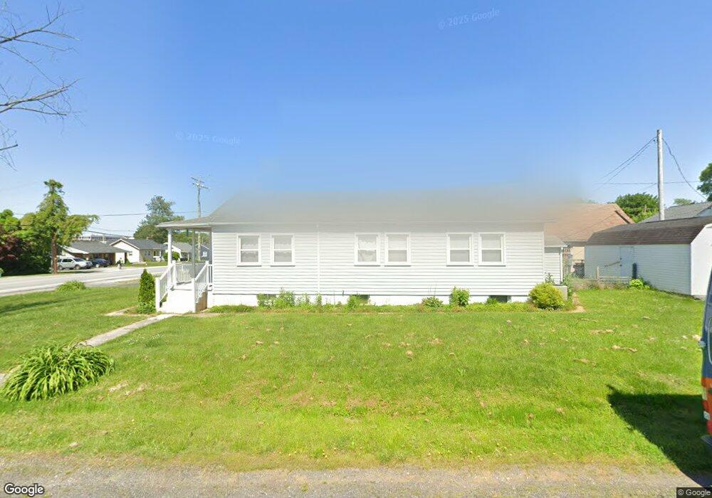
2 Altimeter Ct Middle River, MD 21220
Estimated Value: $206,000 - $357,000
3
Beds
3
Baths
1,666
Sq Ft
$172/Sq Ft
Est. Value
About This Home
This home is located at 2 Altimeter Ct, Middle River, MD 21220 and is currently estimated at $286,844, approximately $172 per square foot. 2 Altimeter Ct is a home located in Baltimore County with nearby schools including Victory Villa Elementary School, Middle River Middle School, and Kenwood High.
Ownership History
Date
Name
Owned For
Owner Type
Purchase Details
Closed on
May 22, 2009
Sold by
Mosley David R
Bought by
Mellott Robert Dale
Current Estimated Value
Purchase Details
Closed on
Jun 27, 2007
Sold by
Worsham Percy C
Bought by
Mosley David R and Mosley Ruth D
Home Financials for this Owner
Home Financials are based on the most recent Mortgage that was taken out on this home.
Original Mortgage
$134,550
Interest Rate
6.39%
Mortgage Type
Purchase Money Mortgage
Purchase Details
Closed on
Jun 22, 2007
Sold by
Worsham Percy C
Bought by
Mosley David R and Mosley Ruth D
Home Financials for this Owner
Home Financials are based on the most recent Mortgage that was taken out on this home.
Original Mortgage
$134,550
Interest Rate
6.39%
Mortgage Type
Purchase Money Mortgage
Create a Home Valuation Report for This Property
The Home Valuation Report is an in-depth analysis detailing your home's value as well as a comparison with similar homes in the area
Home Values in the Area
Average Home Value in this Area
Purchase History
| Date | Buyer | Sale Price | Title Company |
|---|---|---|---|
| Mellott Robert Dale | $209,000 | -- | |
| Mosley David R | $149,500 | -- | |
| Mosley David R | $149,500 | -- |
Source: Public Records
Mortgage History
| Date | Status | Borrower | Loan Amount |
|---|---|---|---|
| Previous Owner | Mosley David R | $134,550 | |
| Previous Owner | Mosley David R | $134,550 |
Source: Public Records
Tax History
| Year | Tax Paid | Tax Assessment Tax Assessment Total Assessment is a certain percentage of the fair market value that is determined by local assessors to be the total taxable value of land and additions on the property. | Land | Improvement |
|---|---|---|---|---|
| 2025 | $2,667 | $179,833 | -- | -- |
| 2024 | $2,667 | $168,367 | $0 | $0 |
| 2023 | $1,293 | $156,900 | $53,000 | $103,900 |
| 2022 | $2,604 | $150,967 | $0 | $0 |
| 2021 | $2,255 | $145,033 | $0 | $0 |
| 2020 | $2,255 | $139,100 | $53,000 | $86,100 |
| 2019 | $2,230 | $138,533 | $0 | $0 |
| 2018 | $2,123 | $137,967 | $0 | $0 |
| 2017 | $2,002 | $137,400 | $0 | $0 |
| 2016 | $2,218 | $136,733 | $0 | $0 |
| 2015 | $2,218 | $136,067 | $0 | $0 |
| 2014 | $2,218 | $135,400 | $0 | $0 |
Source: Public Records
Map
Nearby Homes
- 57 Transverse Ave
- 66 Transverse Ave
- 8 Control Ct
- 39 Transverse Ave
- 10 Cowl Ct
- 816 Thimbleberry Rd
- 812 Corktree Rd
- 139 Transverse Ave
- 1800 Watermark Way
- 710 Luke Rd
- 9707 Selfridge Rd
- 9663 Davison Rd
- 18 Armor Ct
- 17 Taos Cir
- 1009 Fuselage Ave
- 52 Longeron Dr
- 214 Ballard Ave
- 111 Dihedral Dr
- 15 Gyro Dr
- 302 Endsleigh Ave
- 4 Altimeter Ct
- 539 Compass Rd E
- 541 Compass Rd E
- 6 Altimeter Ct
- 1 Right Rudder Ct
- 543 Compass Rd E
- 3 Right Rudder Ct
- 1 Altimeter Ct
- 3 Altimeter Ct
- 537 Compass Rd E
- 5 Right Rudder Ct
- 545 Compass Rd E
- 8 Altimeter Ct
- 5 Altimeter Ct
- 535 Compass Rd E
- 7 Altimeter Ct
- 7 Right Rudder Ct
- 533 Compass Rd E
- 6 Radial Ct
- 542 Compass Rd E
Your Personal Tour Guide
Ask me questions while you tour the home.