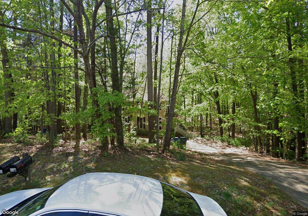
2 Carson Cir Durham, NC 27705
West Durham NeighborhoodEstimated Value: $477,000 - $674,810
About This Home
This home is located at 2 Carson Cir, Durham, NC 27705 and is currently estimated at $580,953, approximately $186 per square foot. 2 Carson Cir is a home located in Durham County with nearby schools including Morehead Montessori, Forest View Elementary, and Brogden Middle.
Ownership History
We collect this data history from publicly available records. To have your information removed, we recommend requesting removal directly through your county’s website.
Purchase Details
Home Financials for this Owner
Home Financials are based on the most recent Mortgage that was taken out on this home.Home Values in the Area
Average Home Value in this Area
Purchase History
We collect this data history from publicly available records. To have your information removed, we recommend requesting removal directly through your county’s website.
| Date | Buyer | Sale Price | Title Company |
|---|---|---|---|
| $238,000 | None Available |
Mortgage History
We collect this data history from publicly available records. To have your information removed, we recommend requesting removal directly through your county’s website.
| Date | Status | Borrower | Loan Amount |
|---|---|---|---|
| Open | $234,531 |
Tax History
We collect this data history from publicly available records. To have your information removed, we recommend requesting removal directly through your county’s website.
| Year | Tax Paid | Tax Assessment Tax Assessment Total Assessment is a certain percentage of the fair market value that is determined by local assessors to be the total taxable value of land and additions on the property. | Land | Improvement |
|---|---|---|---|---|
| 2025 | $6,500 | $655,702 | $195,840 | $459,862 |
| 2024 | $4,766 | $341,675 | $86,355 | $255,320 |
| 2023 | $4,476 | $341,675 | $86,355 | $255,320 |
| 2022 | $4,373 | $341,675 | $86,355 | $255,320 |
| 2021 | $4,353 | $341,675 | $86,355 | $255,320 |
| 2020 | $4,250 | $341,675 | $86,355 | $255,320 |
| 2019 | $4,250 | $341,675 | $86,355 | $255,320 |
| 2018 | $4,011 | $295,699 | $76,760 | $218,939 |
| 2017 | $3,982 | $295,699 | $76,760 | $218,939 |
| 2016 | $3,847 | $295,699 | $76,760 | $218,939 |
| 2015 | $2,699 | $194,989 | $54,287 | $140,702 |
| 2014 | $2,699 | $194,989 | $54,287 | $140,702 |
Map
- 4231C American Dr
- 706 Constitution Dr Unit B
- 710 Constitution Dr Unit 206
- 4405 American Dr
- 4002 Westfield Dr
- 4012 Hillgrand Dr
- 34 Argonaut Dr
- 74 Pocono Dr
- 309 Lionel St
- 74 Forest Oaks Dr
- 77 Forest Oaks Dr
- 36 Georgetown Ct
- 4008 Ellisfield Dr
- 223 Diamond Head Dr
- 110 Mt Evans Dr
- 20 Ezekiel St
- 7 Durbin Place
- 118 Constitution Dr
- 50 Galway Glenn Ln
- 409 Morreene Rd
- 2 Carson Cir Unit A & B
- 2 Carson Cir Unit A
- 2 Carson Cir Unit B
- SS304 Carson
- 6 Carson Cir
- 6 Carson Cir Unit B
- 6 Carson Cir Unit A
- 8 Carson Cir
- 8 Carson Cir Unit A
- 1 Carson Cir
- 5 Carson Cir
- 4 Carson Cir Unit B
- 9 Alamo Ct
- 4310 American Dr Unit A
- 4310 American Dr Unit A/B
- 4310 American Dr Unit A
- 9 Carson Cir Unit A&B
- 9 Carson Cir
- 4222 American Dr
- 14 Alamo Ct
Ask me questions while you tour the home.