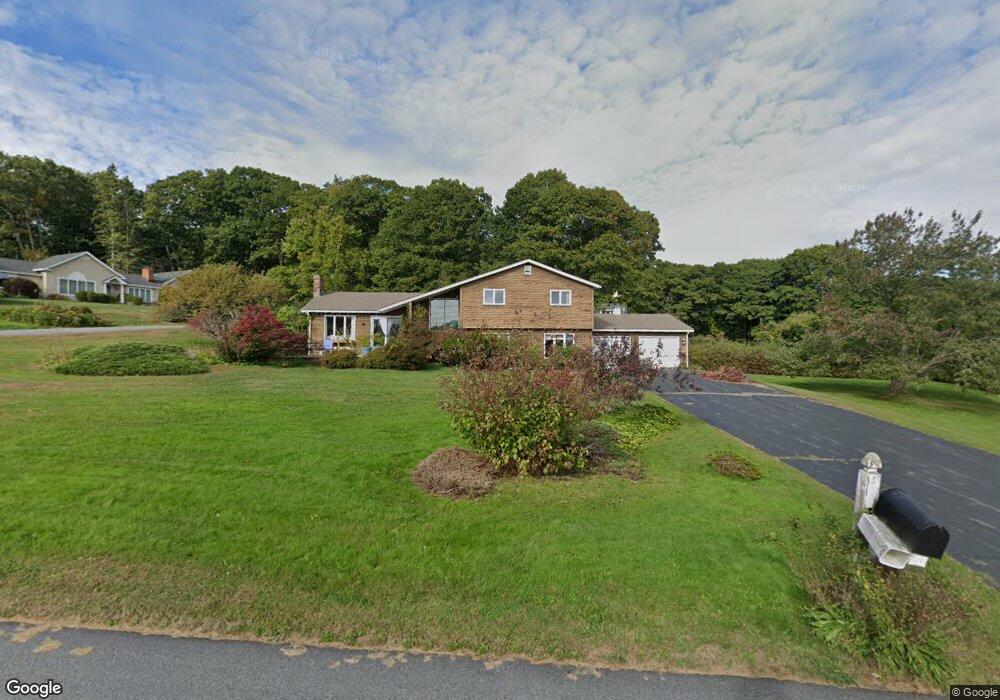
2 Ebb Tide Dr Cumberland Foreside, ME 04110
Cumberland Foreside NeighborhoodEstimated Value: $1,011,000 - $1,181,386
2
Beds
3
Baths
2,241
Sq Ft
$489/Sq Ft
Est. Value
About This Home
This home is located at 2 Ebb Tide Dr, Cumberland Foreside, ME 04110 and is currently estimated at $1,096,097, approximately $489 per square foot. 2 Ebb Tide Dr is a home located in Cumberland County with nearby schools including Mabel I. Wilson School, Greely Middle School 4-5, and Greely Middle School.
Ownership History
Date
Name
Owned For
Owner Type
Purchase Details
Closed on
Sep 1, 2011
Sold by
Elizabeth M Beaulieu Lt and Beaulieu
Bought by
2 Ebb Tide Llc
Current Estimated Value
Create a Home Valuation Report for This Property
The Home Valuation Report is an in-depth analysis detailing your home's value as well as a comparison with similar homes in the area
Home Values in the Area
Average Home Value in this Area
Purchase History
| Date | Buyer | Sale Price | Title Company |
|---|---|---|---|
| 2 Ebb Tide Llc | -- | -- | |
| 2 Ebb Tide Llc | -- | -- | |
| 2 Ebb Tide Llc | -- | -- |
Source: Public Records
Mortgage History
| Date | Status | Borrower | Loan Amount |
|---|---|---|---|
| Previous Owner | 2 Ebb Tide Llc | $300,000 |
Source: Public Records
Tax History
| Year | Tax Paid | Tax Assessment Tax Assessment Total Assessment is a certain percentage of the fair market value that is determined by local assessors to be the total taxable value of land and additions on the property. | Land | Improvement |
|---|---|---|---|---|
| 2025 | $14,232 | $565,200 | $431,400 | $133,800 |
| 2024 | $13,141 | $565,200 | $431,400 | $133,800 |
| 2023 | $12,519 | $565,200 | $431,400 | $133,800 |
| 2022 | $11,982 | $565,200 | $431,400 | $133,800 |
| 2021 | $11,615 | $565,200 | $431,400 | $133,800 |
| 2020 | $11,502 | $565,200 | $431,400 | $133,800 |
| 2019 | $11,219 | $565,200 | $431,400 | $133,800 |
| 2018 | $11,056 | $561,200 | $431,400 | $129,800 |
| 2017 | $10,551 | $561,200 | $431,400 | $129,800 |
| 2016 | $10,242 | $561,200 | $431,400 | $129,800 |
| 2015 | $10,154 | $561,000 | $431,400 | $129,600 |
| 2014 | $9,761 | $561,000 | $431,400 | $129,600 |
| 2013 | $9,537 | $561,000 | $431,400 | $129,600 |
Source: Public Records
Map
Nearby Homes
- 0 Ravine Dr Unit 1652137
- 5 Torry Pine Dr Unit 31
- 59 Astilbe Ln
- 16 Town Landing Rd
- 397 Portland St
- 492 W Elm St
- 6 Daybreak Ln Unit 18
- 54 Royall Point Rd
- 267 W Elm St
- 18 Portland St
- 52 Blueberry Cove Rd Unit 52
- 22 Tenney St
- 15 Blueberry Cove
- 61 Yankee Dr
- 1 Railroad Square Unit 305
- 166 E Main St
- 34 Sisquisic Trail
- 0 Bayview St
- 9 Conifer Ridge
- 20 Island Park
- 4 Ebb Tide Dr
- 1 Ebb Tide Dr
- 10 Island View Dr
- 8 Island View Dr
- 1 Island View Dr
- 6 Island View Dr
- 2 Broad Cove Way
- 5 Island View Dr
- 2 Island View Dr
- 5 Ebb Tide Dr
- 326 Foreside Rd
- 10 Ebb Tide Dr
- 37 Broad Cove Woods
- 2 Broad Cove Way
- 30 Fern Ln
- 7 Ebb Tide Dr
- 671 Lafayette St
- 8 Broad Cove Way
- 7 Broad Cove Woods
- 47 Broad Cove Woods
Your Personal Tour Guide
Ask me questions while you tour the home.