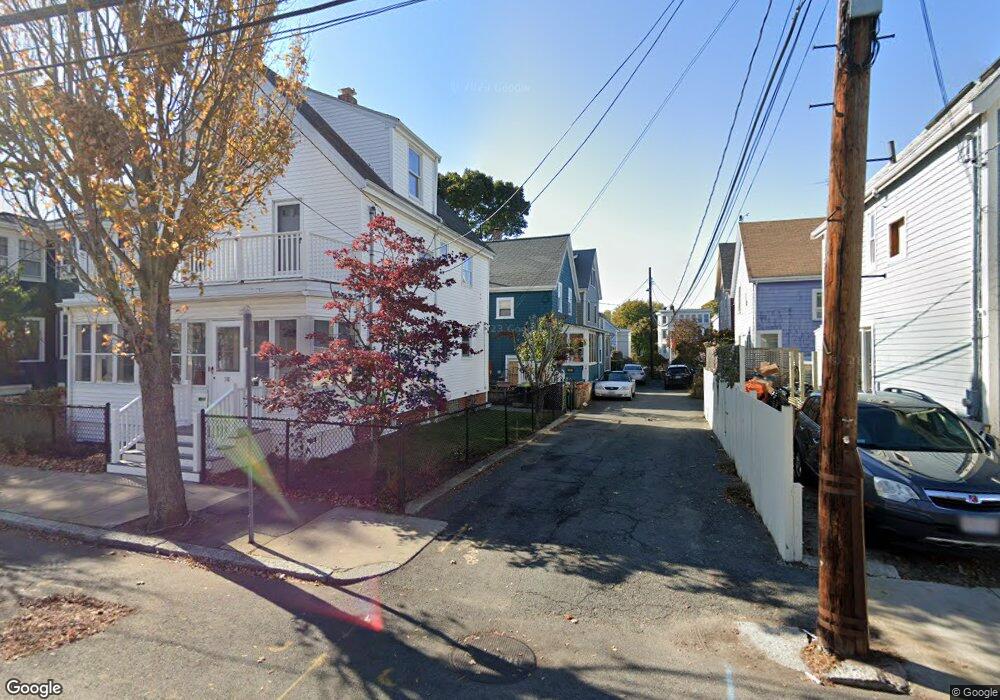
2 Frances Place Cambridge, MA 02140
North Cambridge NeighborhoodEstimated Value: $1,013,937 - $1,401,000
About This Home
This home is located at 2 Frances Place, Cambridge, MA 02140 and is currently estimated at $1,150,484, approximately $994 per square foot. 2 Frances Place is a home located in Middlesex County with nearby schools including Graham & Parks Alternative Public School, John M. Tobin Montessori School, and Maria L. Baldwin School.
Ownership History
We collect this data history from publicly available records. To have your information removed, we recommend requesting removal directly through your county’s website.
Purchase Details
Home Values in the Area
Average Home Value in this Area
Purchase History
We collect this data history from publicly available records. To have your information removed, we recommend requesting removal directly through your county’s website.
| Date | Buyer | Sale Price | Title Company |
|---|---|---|---|
| $45,000 | -- |
Tax History
We collect this data history from publicly available records. To have your information removed, we recommend requesting removal directly through your county’s website.
| Year | Tax Paid | Tax Assessment Tax Assessment Total Assessment is a certain percentage of the fair market value that is determined by local assessors to be the total taxable value of land and additions on the property. | Land | Improvement |
|---|---|---|---|---|
| 2025 | $4,886 | $769,400 | $399,100 | $370,300 |
| 2024 | $4,661 | $787,400 | $433,000 | $354,400 |
| 2023 | $4,383 | $748,000 | $441,600 | $306,400 |
| 2022 | $4,255 | $718,700 | $447,700 | $271,000 |
| 2021 | $4,101 | $701,000 | $449,200 | $251,800 |
| 2020 | $3,878 | $674,500 | $436,000 | $238,500 |
| 2019 | $3,619 | $609,300 | $389,200 | $220,100 |
| 2018 | $3,337 | $530,600 | $327,700 | $202,900 |
| 2017 | $3,246 | $500,200 | $307,200 | $193,000 |
| 2016 | $3,154 | $451,200 | $266,300 | $184,900 |
| 2015 | $3,120 | $399,000 | $234,100 | $164,900 |
| 2014 | $3,080 | $367,500 | $204,800 | $162,700 |
Map
- 30 Montgomery St
- 26 Clay St
- 112 Dudley St
- 179 Rindge Ave Unit 3
- 75 Dudley St
- 20 George St Unit 1
- 85 Clifton St Unit 2
- 69 Harvey St Unit 3
- 318 Rindge Ave Unit 315
- 318 Rindge Ave Unit 103
- 2440 Massachusetts Ave Unit 3
- 12 Shea Rd
- 21 Cottage Park Ave
- 97 Elmwood St Unit 102
- 17 Cameron Ave Unit 17
- 22 Cottage Park Ave Unit 1
- 2512 Massachusetts Ave Unit 3
- 27-29 Cameron Ave Unit B
- 23 Rindge Ave Unit 1
- 2931 Washburn Ave Unit 1B
- 4 Frances Place
- 24 Montgomery St
- 24 Montgomery St Unit 2
- 24 Montgomery St Unit 2/3
- 1 Frances Place
- 3 Frances Place
- 36 Montgomery St
- 36 Montgomery St Unit GO ID1238167P
- 36 Montgomery St Unit T
- 36 Montgomery St Unit 1
- 36 Montgomery St Unit ID1238143P
- 36 Montgomery St Unit ID1238167P
- 27 Clay St
- 22 Montgomery St
- 2 Olive Place
- 40 Montgomery St
- 4 Olive Place
- 21 Clay St
- 27 Montgomery St
- 27 Montgomery St Unit B
Ask me questions while you tour the home.