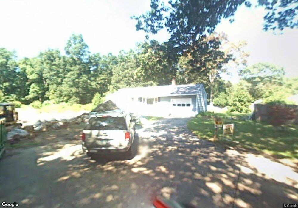
2 Frank St Pawcatuck, CT 06379
Estimated Value: $277,000 - $411,000
About This Home
This home is located at 2 Frank St, Pawcatuck, CT 06379 and is currently estimated at $354,969, approximately $395 per square foot. 2 Frank St is a home located in New London County with nearby schools including Stonington Middle School, Stonington High School, and Pine Point School.
Ownership History
We collect this data history from publicly available records. To have your information removed, we recommend requesting removal directly through your county’s website.
Purchase Details
Purchase Details
Home Values in the Area
Average Home Value in this Area
Purchase History
We collect this data history from publicly available records. To have your information removed, we recommend requesting removal directly through your county’s website.
| Date | Buyer | Sale Price | Title Company |
|---|---|---|---|
| $215,000 | -- | ||
| $215,000 | -- | ||
| $90,000 | -- | ||
| $90,000 | -- |
Tax History
We collect this data history from publicly available records. To have your information removed, we recommend requesting removal directly through your county’s website.
| Year | Tax Paid | Tax Assessment Tax Assessment Total Assessment is a certain percentage of the fair market value that is determined by local assessors to be the total taxable value of land and additions on the property. | Land | Improvement |
|---|---|---|---|---|
| 2025 | $3,349 | $174,900 | $71,100 | $103,800 |
| 2024 | $3,206 | $174,900 | $71,100 | $103,800 |
| 2023 | $3,176 | $174,900 | $71,100 | $103,800 |
| 2022 | $3,002 | $122,600 | $62,700 | $59,900 |
| 2021 | $3,027 | $122,600 | $62,700 | $59,900 |
| 2020 | $2,963 | $122,600 | $62,700 | $59,900 |
| 2019 | $5,681 | $122,600 | $62,700 | $59,900 |
| 2018 | $2,882 | $122,600 | $62,700 | $59,900 |
| 2017 | $2,751 | $115,300 | $62,700 | $52,600 |
| 2016 | $2,659 | $115,300 | $62,700 | $52,600 |
| 2015 | $2,545 | $115,300 | $62,700 | $52,600 |
| 2014 | $2,442 | $115,300 | $62,700 | $52,600 |
Map
- 6 Robin St
- 3 Oriole St
- 93A S Broad St
- 138 S Broad St
- 199 Greenhaven Rd
- 37 Stanton Ln
- 10 Castle Meadow Dr Unit 10
- 305 Pequot Trail
- 54 Barnes Rd
- 51 Lathrop Ave
- 811 Stonington Rd
- 20 N Anguilla Rd
- 39 Buckingham St
- 51 Pequot Trail
- 18 Billings St
- 26 Field St
- 28 River Crest Dr
- 3 Arbor Ct
- 97 River Rd
- 54 Asher Ave
- 4 Frank St
- 13 Millan Terrace
- 229 S Broad St
- 6 Frank St
- 223 S Broad St
- 237 S Broad St
- 22 Millan Terrace
- 17 Millan Terrace
- 228 S Broad St
- 224 S Broad St
- 8 Frank St
- 219 S Broad St
- 230 S Broad St
- 24 Millan Terrace
- 21 Millan Terrace
- 241 S Broad St
- 23 Millan Terrace
- 28 Millan Terrace
- 215 S Broad St
- 218 S Broad St
Ask me questions while you tour the home.