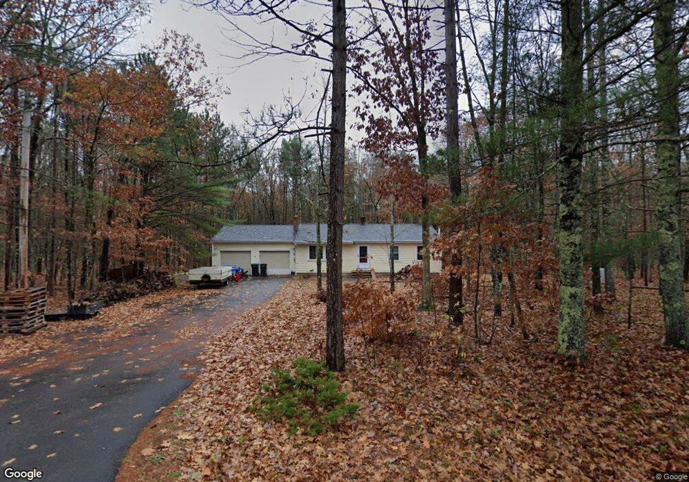
2 Harding Way Kennebunk, ME 04043
Estimated Value: $407,672 - $474,000
About This Home
This home is located at 2 Harding Way, Kennebunk, ME 04043 and is currently estimated at $435,224, approximately $453 per square foot. 2 Harding Way is a home with nearby schools including Kennebunk High School.
Ownership History
We collect this data history from publicly available records. To have your information removed, we recommend requesting removal directly through your county’s website.
Purchase Details
Home Financials for this Owner
Home Financials are based on the most recent Mortgage that was taken out on this home.Home Values in the Area
Average Home Value in this Area
Purchase History
We collect this data history from publicly available records. To have your information removed, we recommend requesting removal directly through your county’s website.
| Date | Buyer | Sale Price | Title Company |
|---|---|---|---|
| -- | -- |
Mortgage History
We collect this data history from publicly available records. To have your information removed, we recommend requesting removal directly through your county’s website.
| Date | Status | Borrower | Loan Amount |
|---|---|---|---|
| Open | $202,468 |
Tax History
We collect this data history from publicly available records. To have your information removed, we recommend requesting removal directly through your county’s website.
| Year | Tax Paid | Tax Assessment Tax Assessment Total Assessment is a certain percentage of the fair market value that is determined by local assessors to be the total taxable value of land and additions on the property. | Land | Improvement |
|---|---|---|---|---|
| 2025 | $4,498 | $456,600 | $226,200 | $230,400 |
| 2024 | $3,761 | $221,900 | $92,600 | $129,300 |
| 2023 | $3,436 | $214,100 | $92,600 | $121,500 |
| 2022 | $3,126 | $214,100 | $92,600 | $121,500 |
| 2021 | $3,051 | $214,100 | $92,600 | $121,500 |
| 2020 | $7,042 | $214,100 | $92,600 | $121,500 |
| 2019 | $2,944 | $214,100 | $92,600 | $121,500 |
| 2018 | $2,809 | $160,500 | $69,400 | $91,100 |
| 2017 | $7,449 | $160,500 | $69,400 | $91,100 |
| 2016 | $2,552 | $160,500 | $69,400 | $91,100 |
| 2015 | $2,456 | $160,500 | $69,400 | $91,100 |
| 2014 | $2,391 | $160,500 | $69,400 | $91,100 |
Map
- 17 Middle Rd
- 12 Fieldstone Ln
- 1 Robinson Way Unit 85
- 1 Robinson Way Unit B28
- 1 Robinson Way Unit 143
- 1 Robinson Way Unit B87
- 1 Robinson Way Unit A168
- 1 Robinson Way Unit A198
- 39 Leisure Dr
- 72 Golden Era Cir
- 13 Pinecone Dr
- 407 Whichers Mills Rd
- 8 Windsor Dr
- Lot 00B Knight Farm Rd
- Lot 00E Knight Farm Rd
- Lot 00A Knight Farm Rd
- 265 Webber Hill Rd
- 5 Tranquility Dr Unit 28
- 8 Tranquility Dr Unit Lot 15
- 21 Cascade Cir Unit 21
Ask me questions while you tour the home.