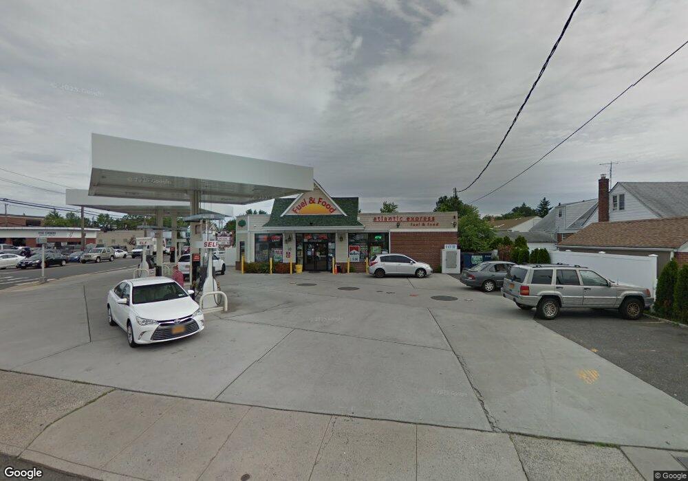
2 Hendrickson Ave Lynbrook, NY 11563
Estimated Value: $1,000,810
Studio
1
Bath
9,988
Sq Ft
$100/Sq Ft
Est. Value
About This Home
This home is located at 2 Hendrickson Ave, Lynbrook, NY 11563 and is currently estimated at $1,000,810, approximately $100 per square foot. 2 Hendrickson Ave is a home located in Nassau County with nearby schools including Davison Avenue Intermediate School, Maurice W. Downing Primary K-2 School, and Howard T Herber Middle School.
Ownership History
Date
Name
Owned For
Owner Type
Purchase Details
Closed on
Sep 26, 2014
Sold by
Hv Hempstead Avenue Inc
Bought by
Bb Lynbrook Inc
Current Estimated Value
Purchase Details
Closed on
Sep 18, 2003
Sold by
Pats Automotive Service I
Bought by
H V Hempstead Ave Inc
Create a Home Valuation Report for This Property
The Home Valuation Report is an in-depth analysis detailing your home's value as well as a comparison with similar homes in the area
Home Values in the Area
Average Home Value in this Area
Purchase History
| Date | Buyer | Sale Price | Title Company |
|---|---|---|---|
| Bb Lynbrook Inc | -- | None Available | |
| H V Hempstead Ave Inc | $475,000 | -- |
Source: Public Records
Tax History
| Year | Tax Paid | Tax Assessment Tax Assessment Total Assessment is a certain percentage of the fair market value that is determined by local assessors to be the total taxable value of land and additions on the property. | Land | Improvement |
|---|---|---|---|---|
| 2025 | $23,119 | $5,941 | $1,482 | $4,459 |
| 2024 | $2,876 | $5,941 | $1,482 | $4,459 |
| 2023 | $20,799 | $5,941 | $1,482 | $4,459 |
| 2022 | $20,799 | $5,941 | $1,482 | $4,459 |
| 2021 | $25,380 | $8,300 | $2,093 | $6,207 |
| 2020 | $11,652 | $3,820 | $1,873 | $1,947 |
| 2019 | $21,586 | $3,987 | $1,955 | $2,032 |
| 2018 | $21,953 | $4,987 | $0 | $0 |
| 2017 | $21,724 | $4,987 | $2,445 | $2,542 |
| 2016 | $25,754 | $4,987 | $2,445 | $2,542 |
| 2015 | $3,027 | $3,896 | $3,744 | $152 |
| 2014 | $3,027 | $3,896 | $3,744 | $152 |
| 2013 | $2,734 | $3,896 | $3,744 | $152 |
Source: Public Records
Map
Nearby Homes
- 63 Central Ave
- 90 Pearsall Ave
- 40 Hendrickson Ave
- 175 Hempstead Ave
- 367 Vincent Ave
- 157 Hempstead Ave Unit B20
- 135 Chestnut St
- 124 Lakeview Ave
- 138 Chestnut St
- 127 Smith St
- 29 Summit Ave
- 17 Oxford St
- 181 Walnut St
- 108 Hempstead Ave
- 58 Chestnut St
- 42 Driving Park Ave
- 75 Noble St Unit 121
- 57 Carol St
- 266 Earle Ave
- 49 Winter St
- 2 Hendrickson Ave
- 54 N Rockaway Ave
- 62 N Rockaway Ave
- 50 N Rockaway Ave
- 235 Hempstead Ave
- 63 Central Ave
- 229 Hempstead Ave
- 46 N Rockaway Ave
- 1 Franklin Ave
- 53 N Rockaway Ave
- 57 N Rockaway Ave
- 57 N Rockaway Ave Unit 2
- 61 N Rockaway Ave Unit 1
- 61 N Rockaway Ave
- 61 N Rockaway Ave Unit Upper
- 61 N Rockaway Ave Unit 1A
- 49 N Rockaway Ave
- 5 Franklin Ave
- 73 Central Ave
- 13 Hendrickson Ave
Your Personal Tour Guide
Ask me questions while you tour the home.