2 Kelley Point Dr Brooklin, ME 04616
Estimated Value: $1,151,000 - $2,614,000
3
Beds
3
Baths
1,120
Sq Ft
$1,643/Sq Ft
Est. Value
About This Home
This home is located at 2 Kelley Point Dr, Brooklin, ME 04616 and is currently estimated at $1,839,619, approximately $1,642 per square foot. 2 Kelley Point Dr is a home with nearby schools including Brooklin School.
Create a Home Valuation Report for This Property
The Home Valuation Report is an in-depth analysis detailing your home's value as well as a comparison with similar homes in the area
Tax History
| Year | Tax Paid | Tax Assessment Tax Assessment Total Assessment is a certain percentage of the fair market value that is determined by local assessors to be the total taxable value of land and additions on the property. | Land | Improvement |
|---|---|---|---|---|
| 2025 | $12,299 | $1,556,800 | $1,178,200 | $378,600 |
| 2024 | $11,365 | $1,556,800 | $1,178,200 | $378,600 |
| 2023 | $10,603 | $1,452,400 | $1,178,200 | $274,200 |
| 2022 | $9,665 | $1,306,100 | $1,153,200 | $152,900 |
| 2021 | $9,936 | $1,312,600 | $1,153,200 | $159,400 |
| 2020 | $9,582 | $1,312,600 | $1,153,200 | $159,400 |
| 2019 | $9,613 | $1,290,300 | $1,153,200 | $137,100 |
| 2018 | $9,548 | $1,290,300 | $1,153,200 | $137,100 |
| 2017 | $9,419 | $1,290,300 | $1,153,200 | $137,100 |
| 2016 | $9,290 | $1,290,300 | $1,153,200 | $137,100 |
| 2015 | $9,290 | $1,290,300 | $1,153,200 | $137,100 |
| 2014 | $9,290 | $1,290,300 | $1,153,200 | $137,100 |
| 2013 | $8,516 | $1,290,300 | $1,153,200 | $137,100 |
Source: Public Records
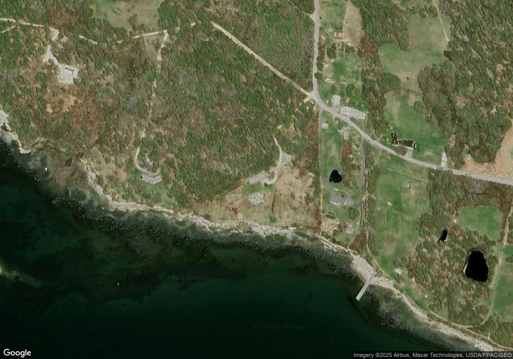
Map
Nearby Homes
- 00 Periwinkle Ln
- 0 Flye Point Unit Lot 3
- 111 Old Place Rd
- 17 E Side Rd
- 392 Bay Rd
- 2 Bar Island
- 9 River Rd Unit Lot 6
- 9 River Rd Unit Lot 3
- 75 Old Cove Ln
- 13 Mcmullen Ave
- 36 Greenlaw District Rd
- 36 Treasure Ln
- 70 Island Retreat Rd
- 70 Owens Way
- 0 Quaco Rd Unit 1625807
- 5 Oceanville Rd
- 005-054 Bridge St
- 684 Falls Bridge Rd
- 284 Christy Hill Rd
- 67 Tea Hill Rd
Your Personal Tour Guide
Ask me questions while you tour the home.