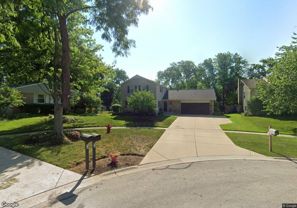
2 Longwood Ct Buffalo Grove, IL 60089
South Buffalo Grove NeighborhoodEstimated Value: $457,989 - $520,000
4
Beds
3
Baths
2,086
Sq Ft
$238/Sq Ft
Est. Value
About This Home
This home is located at 2 Longwood Ct, Buffalo Grove, IL 60089 and is currently estimated at $495,497, approximately $237 per square foot. 2 Longwood Ct is a home located in Cook County with nearby schools including Henry W Longfellow Elementary School, Cooper Middle School, and Buffalo Grove High School.
Ownership History
Date
Name
Owned For
Owner Type
Purchase Details
Closed on
Aug 16, 1996
Sold by
Westerberg Martha
Bought by
Dolin Jeffrey C and Dolin Carol A
Current Estimated Value
Home Financials for this Owner
Home Financials are based on the most recent Mortgage that was taken out on this home.
Original Mortgage
$192,000
Outstanding Balance
$11,412
Interest Rate
8.47%
Estimated Equity
$484,085
Purchase Details
Closed on
Dec 22, 1995
Sold by
Westerberg Martha
Bought by
Westerberg Martha
Create a Home Valuation Report for This Property
The Home Valuation Report is an in-depth analysis detailing your home's value as well as a comparison with similar homes in the area
Home Values in the Area
Average Home Value in this Area
Purchase History
| Date | Buyer | Sale Price | Title Company |
|---|---|---|---|
| Dolin Jeffrey C | $240,000 | -- | |
| Westerberg Martha | -- | -- |
Source: Public Records
Mortgage History
| Date | Status | Borrower | Loan Amount |
|---|---|---|---|
| Open | Dolin Jeffrey C | $192,000 |
Source: Public Records
Tax History
| Year | Tax Paid | Tax Assessment Tax Assessment Total Assessment is a certain percentage of the fair market value that is determined by local assessors to be the total taxable value of land and additions on the property. | Land | Improvement |
|---|---|---|---|---|
| 2025 | $10,141 | $42,000 | $8,552 | $33,448 |
| 2024 | $10,141 | $35,001 | $7,331 | $27,670 |
| 2023 | $9,724 | $35,001 | $7,331 | $27,670 |
| 2022 | $9,724 | $35,001 | $7,331 | $27,670 |
| 2021 | $9,447 | $30,070 | $4,683 | $25,387 |
| 2020 | $9,272 | $30,070 | $4,683 | $25,387 |
| 2019 | $9,260 | $33,338 | $4,683 | $28,655 |
| 2018 | $9,126 | $29,935 | $4,072 | $25,863 |
| 2017 | $8,978 | $29,935 | $4,072 | $25,863 |
| 2016 | $8,617 | $29,935 | $4,072 | $25,863 |
| 2015 | $8,390 | $27,321 | $3,461 | $23,860 |
| 2014 | $8,270 | $27,321 | $3,461 | $23,860 |
| 2013 | $7,626 | $27,321 | $3,461 | $23,860 |
Source: Public Records
Map
Nearby Homes
- 517 Longwood Dr
- 535 Weidner Rd
- 462 Longwood Dr
- 393 Indian Hill Dr
- 1096 Beechwood Rd
- 267 Timber Hill Rd
- 760 Weidner Rd Unit 107
- 760 Weidner Rd Unit 307
- 800 Weidner Rd Unit 208
- 820 Weidner Rd Unit 4013
- 820 Weidner Rd Unit 409
- 671 Hapsfield Ln Unit 105
- 705 Grove Dr Unit 101
- 621 Hapsfield Ln Unit 103
- 645 Grove Dr Unit 202
- 631 Hapsfield Ln Unit 631106
- 3401 N Carriageway Dr Unit 208
- 737 W Happfield Dr
- 496 Raupp Blvd
- 5 Villa Verde Dr Unit 115
Your Personal Tour Guide
Ask me questions while you tour the home.