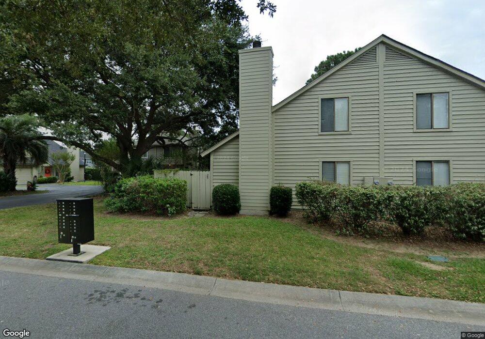
2 Maplecrest Dr Charleston, SC 29412
James Island NeighborhoodEstimated Value: $304,000 - $372,000
About This Home
This home is located at 2 Maplecrest Dr, Charleston, SC 29412 and is currently estimated at $342,993, approximately $322 per square foot. 2 Maplecrest Dr is a home located in Charleston County with nearby schools including Harbor View Elementary School, Camp Road Middle, and James Island Charter High School.
Ownership History
We collect this data history from publicly available records. To have your information removed, we recommend requesting removal directly through your county’s website.
Purchase Details
Home Financials for this Owner
Home Financials are based on the most recent Mortgage that was taken out on this home.Purchase Details
Purchase Details
Home Values in the Area
Average Home Value in this Area
Purchase History
We collect this data history from publicly available records. To have your information removed, we recommend requesting removal directly through your county’s website.
| Date | Buyer | Sale Price | Title Company |
|---|---|---|---|
| $174,900 | -- | ||
| $94,000 | -- | ||
| $113,000 | -- |
Mortgage History
We collect this data history from publicly available records. To have your information removed, we recommend requesting removal directly through your county’s website.
| Date | Status | Borrower | Loan Amount |
|---|---|---|---|
| Open | $166,155 |
Tax History
We collect this data history from publicly available records. To have your information removed, we recommend requesting removal directly through your county’s website.
| Year | Tax Paid | Tax Assessment Tax Assessment Total Assessment is a certain percentage of the fair market value that is determined by local assessors to be the total taxable value of land and additions on the property. | Land | Improvement |
|---|---|---|---|---|
| 2024 | $1,342 | $8,050 | $0 | $0 |
| 2023 | $1,143 | $8,050 | $0 | $0 |
| 2022 | $1,042 | $8,050 | $0 | $0 |
| 2021 | $1,090 | $8,050 | $0 | $0 |
| 2020 | $1,129 | $8,050 | $0 | $0 |
| 2019 | $1,010 | $7,000 | $0 | $0 |
| 2017 | $977 | $7,000 | $0 | $0 |
| 2016 | $938 | $7,000 | $0 | $0 |
| 2015 | $968 | $7,000 | $0 | $0 |
| 2014 | $1,839 | $0 | $0 | $0 |
| 2011 | -- | $0 | $0 | $0 |
Map
- 28 Maplecrest Dr
- 67 Oyster Point Row
- 19 Meander Row Unit 1
- 1403 Dove Run Dr Unit A
- 1403 Dove Run Dr Unit B
- 23 Brockman Dr Unit 23-C
- 1406 Dove Run Dr Unit A
- 32 Meander Row Unit 8
- 27 Brockman Dr Unit 27B
- 44 Rivers Point Row
- 1402 Camp Rd Unit 13B
- 1402 Camp Rd Unit 6C
- 1402 Camp Rd Unit 9g
- 1402 Camp Rd Unit 16F
- 21 Rivers Point Row Unit 9g
- 1616 Relyea Ave
- 1328 Hermitage Ave
- 1521 Brookbank Ave
- 804 Sprague St
- 818 W Madison Ave
- 16 Maplecrest Dr
- 10 Maplecrest Dr
- 18 Maplecrest Dr
- 8 Maplecrest Dr
- 20 Maplecrest Dr
- 12 Maplecrest Dr
- 11 Anderson Ave Unit B
- 11 Anderson Ave Unit C
- 11 Anderson Ave Unit A
- 11 Anderson Ave
- 22 Maplecrest Dr
- 6 Maplecrest Dr
- 24 Maplecrest Dr
- 13 Anderson Ave Unit D
- 13 Anderson Ave Unit C
- 13 Anderson Ave Unit B
- 13 Anderson Ave Unit A
- 4 Maplecrest Dr
- 28 Maplecrest Dr Unit 1
- 26 Maplecrest Dr
Ask me questions while you tour the home.