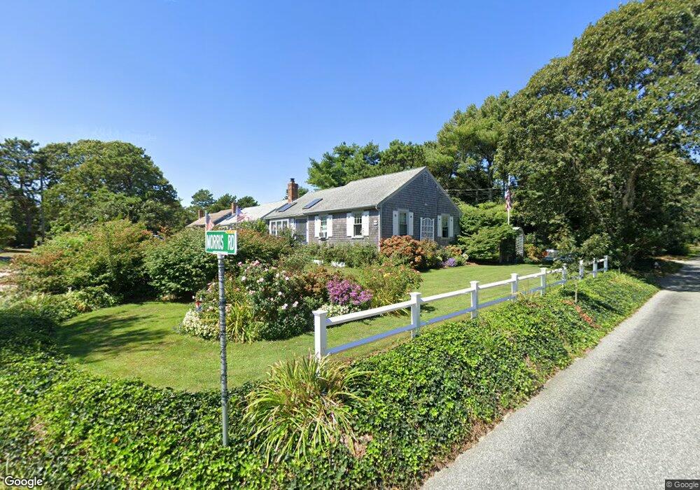
2 Morris Rd Dennis Port, MA 2639
Dennis Port NeighborhoodEstimated Value: $537,698 - $603,000
2
Beds
2
Baths
1,002
Sq Ft
$570/Sq Ft
Est. Value
About This Home
This home is located at 2 Morris Rd, Dennis Port, MA 2639 and is currently estimated at $570,925, approximately $569 per square foot. 2 Morris Rd is a home located in Barnstable County with nearby schools including Dennis-Yarmouth Regional High School and St. Pius X. School.
Ownership History
Date
Name
Owned For
Owner Type
Purchase Details
Closed on
Oct 27, 2020
Sold by
Keane Ellen M and Keane Nora M
Bought by
Morris Road Llc
Current Estimated Value
Purchase Details
Closed on
Oct 10, 2020
Sold by
Keane Thomas J and Keane Jamie F
Bought by
Keane Ellen M and Keane Nora M
Purchase Details
Closed on
Jul 27, 1984
Bought by
Keane Thomas J and Keane Jamie F
Create a Home Valuation Report for This Property
The Home Valuation Report is an in-depth analysis detailing your home's value as well as a comparison with similar homes in the area
Home Values in the Area
Average Home Value in this Area
Purchase History
| Date | Buyer | Sale Price | Title Company |
|---|---|---|---|
| Morris Road Llc | -- | None Available | |
| Keane Ellen M | -- | None Available | |
| Keane Thomas J | $79,900 | -- |
Source: Public Records
Tax History
| Year | Tax Paid | Tax Assessment Tax Assessment Total Assessment is a certain percentage of the fair market value that is determined by local assessors to be the total taxable value of land and additions on the property. | Land | Improvement |
|---|---|---|---|---|
| 2025 | $2,132 | $492,400 | $189,400 | $303,000 |
| 2024 | $2,056 | $468,400 | $182,100 | $286,300 |
| 2023 | $1,989 | $425,900 | $165,600 | $260,300 |
| 2022 | $1,933 | $345,200 | $149,100 | $196,100 |
| 2021 | $1,859 | $308,300 | $146,200 | $162,100 |
| 2020 | $1,732 | $284,000 | $135,000 | $149,000 |
| 2019 | $1,642 | $266,200 | $132,300 | $133,900 |
| 2018 | $1,626 | $256,500 | $136,500 | $120,000 |
| 2017 | $1,488 | $242,000 | $126,000 | $116,000 |
| 2016 | $1,498 | $229,400 | $131,200 | $98,200 |
| 2015 | $1,468 | $229,400 | $131,200 | $98,200 |
| 2014 | $1,357 | $213,700 | $115,500 | $98,200 |
Source: Public Records
Map
Nearby Homes
- 18 Manning Rd
- 34 Pleasant St Unit 3
- 2 Elinor Ln
- 18 Cross St
- 157 Depot St Unit 5
- 67 Inman Rd Unit E
- 65 Inman Rd Unit A
- 97 Depot St
- 65 Inman Rd Unit A
- 1 Belmont Rd Unit 22
- 1 Belmont Rd Unit 425
- 1 Belmont Rd Unit 630
- 1 Belmont Rd Unit 541
- 1 Belmont Rd Unit 513
- 1 Belmont Rd Unit 18
- 47 Telegraph Rd Unit 1
- 1 E Belmont Unit 513
- 1 E Belmont Unit 425
- 1 E Belmont Unit TH18
- 1 E Belmont Unit 22
Your Personal Tour Guide
Ask me questions while you tour the home.