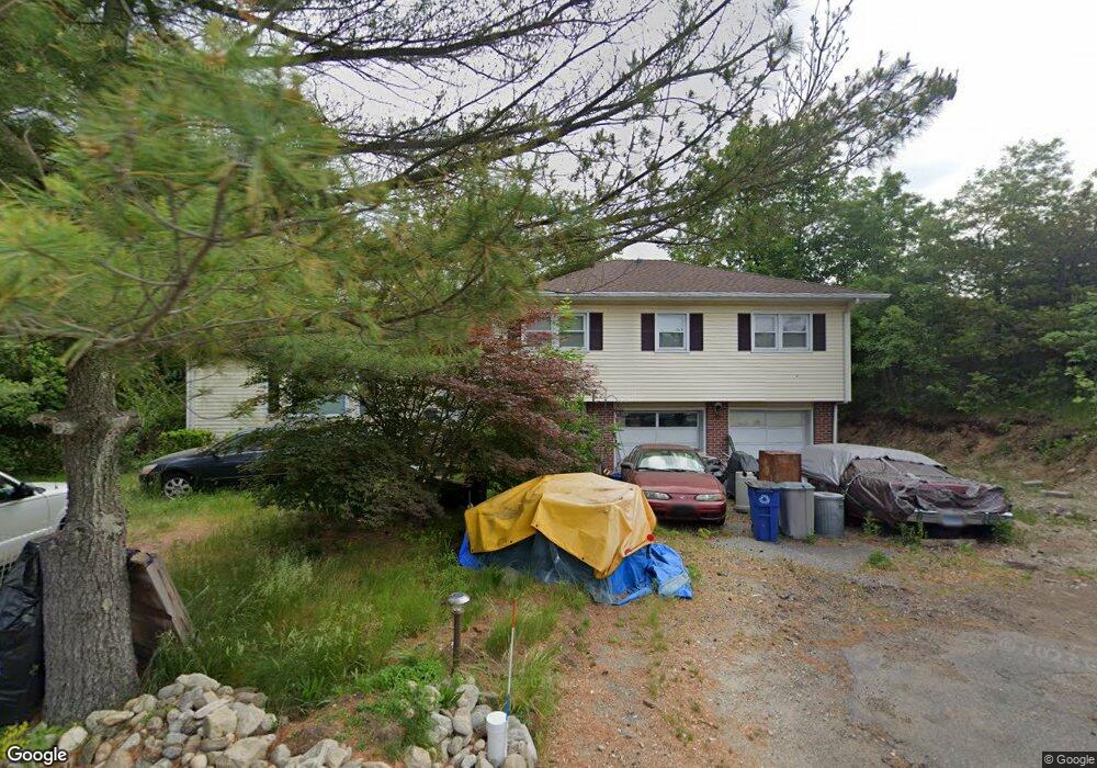
2 Palmieri Rd Westport, CT 06880
Staples NeighborhoodEstimated Value: $947,905 - $1,293,000
4
Beds
3
Baths
1,466
Sq Ft
$762/Sq Ft
Est. Value
About This Home
This home is located at 2 Palmieri Rd, Westport, CT 06880 and is currently estimated at $1,116,976, approximately $761 per square foot. 2 Palmieri Rd is a home located in Fairfield County with nearby schools including Long Lots School, Bedford Middle School, and Staples High School.
Ownership History
Date
Name
Owned For
Owner Type
Purchase Details
Closed on
Jan 25, 2010
Sold by
Wilson Ruth W
Bought by
Wilson Ruth W and Wilson Warren R
Current Estimated Value
Purchase Details
Closed on
Sep 4, 1998
Sold by
Palmieri Daniel Est and Lopez
Bought by
Prezkop Raymond
Home Financials for this Owner
Home Financials are based on the most recent Mortgage that was taken out on this home.
Original Mortgage
$220,000
Interest Rate
3.95%
Mortgage Type
Purchase Money Mortgage
Create a Home Valuation Report for This Property
The Home Valuation Report is an in-depth analysis detailing your home's value as well as a comparison with similar homes in the area
Home Values in the Area
Average Home Value in this Area
Purchase History
| Date | Buyer | Sale Price | Title Company |
|---|---|---|---|
| Wilson Ruth W | -- | -- | |
| Prezkop Raymond | $285,000 | -- | |
| Prezkop Raymond | $285,000 | -- |
Source: Public Records
Mortgage History
| Date | Status | Borrower | Loan Amount |
|---|---|---|---|
| Previous Owner | Prezkop Raymond | $300,000 | |
| Previous Owner | Prezkop Raymond | $79,000 | |
| Previous Owner | Prezkop Raymond | $220,000 |
Source: Public Records
Tax History
| Year | Tax Paid | Tax Assessment Tax Assessment Total Assessment is a certain percentage of the fair market value that is determined by local assessors to be the total taxable value of land and additions on the property. | Land | Improvement |
|---|---|---|---|---|
| 2025 | $6,733 | $357,000 | $247,000 | $110,000 |
| 2024 | $6,647 | $357,000 | $247,000 | $110,000 |
| 2023 | $6,551 | $357,000 | $247,000 | $110,000 |
| 2022 | $6,451 | $357,000 | $247,000 | $110,000 |
| 2021 | $6,451 | $357,000 | $247,000 | $110,000 |
| 2020 | $6,610 | $386,700 | $260,100 | $126,600 |
| 2019 | $6,610 | $386,700 | $260,100 | $126,600 |
| 2018 | $6,520 | $386,700 | $260,100 | $126,600 |
| 2017 | $6,482 | $386,700 | $260,100 | $126,600 |
| 2016 | $6,520 | $386,700 | $260,100 | $126,600 |
| 2015 | $6,004 | $331,900 | $209,500 | $122,400 |
| 2014 | $5,954 | $331,900 | $209,500 | $122,400 |
Source: Public Records
Map
Nearby Homes
- 1 Dexter Rd
- 71 Aberdeen Way Unit 71
- 310 Lansdowne Unit 310
- 279 Spruce St
- 26 Taylor Place
- 103 Southport Woods Dr Unit 103
- 49 Southport Woods Dr
- 127 Spruce St
- 485 Westway Rd Unit 485
- 491 Westway Rd Unit 491
- 1120 Mill Hill Terrace
- 1 Coastal Ct
- 36 Maple Ave S
- 153 Pease Ave
- 2 Elmwood Dr Unit 2
- 260 Range Rd
- 494 Pequot Ct
- 260 Willow St
- 3 Bowling Ln
- 32 Bauer Place Extension
- 1 Palmieri Rd
- 3 Palmieri Rd
- 10 Palmieri Rd
- 5 Palmieri Rd
- 1835 Post Rd E Unit 1
- 1835 Post Rd E
- 1835 Post Rd E Unit A
- 1835 Post Rd E Unit 3A
- 13 Bulkley Ave N
- 8 Palmieri Rd
- 7 Palmieri Rd
- 11 Bulkley Ave N
- 15 Bulkley Ave N
- 17 Bulkley Ave N
- 1869 Post Rd E
- 4 Palmieri Rd
- 6 Palmieri Rd
- 19 Bulkley Ave N
- 18 Bulkley Ave N
- 18 Bulkley Ave N Unit B
Your Personal Tour Guide
Ask me questions while you tour the home.