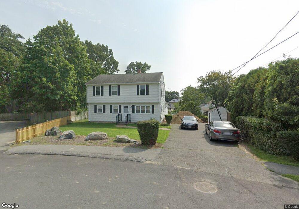
2 Robert Ave Woburn, MA 01801
Walnut Hill NeighborhoodEstimated Value: $862,359 - $1,096,000
4
Beds
3
Baths
2,502
Sq Ft
$376/Sq Ft
Est. Value
About This Home
This home is located at 2 Robert Ave, Woburn, MA 01801 and is currently estimated at $941,090, approximately $376 per square foot. 2 Robert Ave is a home located in Middlesex County with nearby schools including Goodyear Elementary School, John F. Kennedy Middle School, and Woburn High School.
Ownership History
Date
Name
Owned For
Owner Type
Purchase Details
Closed on
Jan 4, 2016
Sold by
Bilal Omar
Bought by
Omer & Saadia Bilal Lt and Bilal
Current Estimated Value
Purchase Details
Closed on
Jul 31, 1998
Sold by
Chagnon Randolph P and Chagnon Gloria R
Bought by
Bilal Omer
Create a Home Valuation Report for This Property
The Home Valuation Report is an in-depth analysis detailing your home's value as well as a comparison with similar homes in the area
Home Values in the Area
Average Home Value in this Area
Purchase History
| Date | Buyer | Sale Price | Title Company |
|---|---|---|---|
| Omer & Saadia Bilal Lt | -- | -- | |
| Omer & Saadia Bilal Lt | -- | -- | |
| Bilal Omer | $216,000 | -- |
Source: Public Records
Mortgage History
| Date | Status | Borrower | Loan Amount |
|---|---|---|---|
| Previous Owner | Bilal Omer | $220,000 | |
| Previous Owner | Bilal Omer | $172,800 |
Source: Public Records
Tax History
| Year | Tax Paid | Tax Assessment Tax Assessment Total Assessment is a certain percentage of the fair market value that is determined by local assessors to be the total taxable value of land and additions on the property. | Land | Improvement |
|---|---|---|---|---|
| 2025 | $6,533 | $765,000 | $341,900 | $423,100 |
| 2024 | $5,849 | $725,700 | $325,900 | $399,800 |
| 2023 | $5,707 | $656,000 | $296,300 | $359,700 |
| 2022 | $5,570 | $596,400 | $258,500 | $337,900 |
| 2021 | $5,351 | $573,500 | $246,500 | $327,000 |
| 2020 | $5,158 | $553,400 | $246,500 | $306,900 |
| 2019 | $7,686 | $525,300 | $235,100 | $290,200 |
| 2018 | $4,789 | $484,200 | $216,200 | $268,000 |
| 2017 | $4,391 | $441,800 | $206,300 | $235,500 |
| 2016 | $3,548 | $353,000 | $193,200 | $159,800 |
| 2015 | $3,412 | $335,500 | $181,000 | $154,500 |
| 2014 | $3,214 | $307,900 | $181,000 | $126,900 |
Source: Public Records
Map
Nearby Homes
- 16 Felton St
- 18 Montvale Rd
- 18 Central St
- 10 Rodgers Rd
- 23 Sunrise Ave
- 100 Ledgewood Dr Unit 410
- 9 Olympia Ave
- 4 Magnolia Terrace
- 6 Stratton Dr Unit 3303
- 6 Stratton Dr Unit 208
- 6 Stratton Dr Unit 3307
- 219 Montvale Ae
- 164 Green St
- 20 Hilltop Terrace
- 31 Tremont St
- 18 Sherman Place
- 159 Main St Unit 27C
- 159 Main St Unit 39A
- 84 Curtis St
- 4 Stratton Dr Unit 308
- 18 Salem Ave
- 261 Washington St
- 259 Washington St
- 4 Robert Ave
- 263 Washington St
- 6 Washington Terrace
- 7 Washington Terrace
- 257 Washington St
- 265 Washington St
- 16 Salem Ave
- 9 Salem Ave
- 9 Salem Ave Unit 1
- 6 Robert Ave
- 8 Washington Terrace
- 229 Washington St
- 234 Washington St
- 267 Washington St
- 232 Washington St
- 14 Salem Ave
- 2 Arthur g Pernokas Dr
Your Personal Tour Guide
Ask me questions while you tour the home.