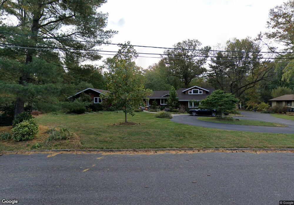
2 Robin Rd Moorestown, NJ 08057
Estimated Value: $759,000 - $870,000
Studio
--
Bath
3,197
Sq Ft
$252/Sq Ft
Est. Value
About This Home
This home is located at 2 Robin Rd, Moorestown, NJ 08057 and is currently estimated at $805,742, approximately $252 per square foot. 2 Robin Rd is a home located in Burlington County with nearby schools including George C. Baker Elementary School, Moorestown Upper Elementary School, and William Allen Middle School.
Ownership History
Date
Name
Owned For
Owner Type
Purchase Details
Closed on
Sep 26, 2001
Sold by
Moss Grace W and Moss Edward
Bought by
Heisler Steven and Heisler Lisa M
Current Estimated Value
Home Financials for this Owner
Home Financials are based on the most recent Mortgage that was taken out on this home.
Original Mortgage
$27,000
Outstanding Balance
$10,592
Interest Rate
6.77%
Mortgage Type
Credit Line Revolving
Estimated Equity
$795,150
Purchase Details
Closed on
Oct 13, 2000
Sold by
Moss Grace W and Moss Edward
Bought by
Moss Grace W and Moss Edward G
Purchase Details
Closed on
Oct 22, 1993
Sold by
Moss Edward G and Moss Grace W
Bought by
Moss Grace W and Moss Edward G
Create a Home Valuation Report for This Property
The Home Valuation Report is an in-depth analysis detailing your home's value as well as a comparison with similar homes in the area
Home Values in the Area
Average Home Value in this Area
Purchase History
We collect this data history from publicly available records. To have your information removed, we recommend requesting removal directly through your county’s website.
| Date | Buyer | Sale Price | Title Company |
|---|---|---|---|
| Heisler Steven | $270,000 | Southern Counties Title Agen | |
| Moss Grace W | -- | -- | |
| Moss Grace W | -- | -- |
Source: Public Records
Mortgage History
We collect this data history from publicly available records. To have your information removed, we recommend requesting removal directly through your county’s website.
| Date | Status | Borrower | Loan Amount |
|---|---|---|---|
| Open | Heisler Steven | $27,000 | |
| Open | Heisler Steven | $216,000 |
Source: Public Records
Tax History
| Year | Tax Paid | Tax Assessment Tax Assessment Total Assessment is a certain percentage of the fair market value that is determined by local assessors to be the total taxable value of land and additions on the property. | Land | Improvement |
|---|---|---|---|---|
| 2025 | $10,108 | $356,300 | $113,500 | $242,800 |
| 2024 | $9,802 | $356,300 | $113,500 | $242,800 |
| 2023 | $9,802 | $356,300 | $113,500 | $242,800 |
| 2022 | $9,702 | $356,300 | $113,500 | $242,800 |
| 2021 | $9,100 | $356,300 | $113,500 | $242,800 |
| 2020 | $9,513 | $356,300 | $113,500 | $242,800 |
| 2019 | $9,346 | $356,300 | $113,500 | $242,800 |
| 2018 | $9,093 | $356,300 | $113,500 | $242,800 |
| 2017 | $9,171 | $356,300 | $113,500 | $242,800 |
| 2016 | $9,139 | $356,300 | $113,500 | $242,800 |
| 2015 | $9,029 | $340,500 | $113,500 | $227,000 |
| 2014 | $8,192 | $340,500 | $113,500 | $227,000 |
Source: Public Records
Map
Nearby Homes
- 1025 Riverton Rd
- 1445 Georgian Dr
- 2801 Riverton Rd
- 2801 Riverton Rd
- 904 Heritage Rd
- 1416 Georgian Dr
- 7 Carriage Way
- 8 Saratoga Springs Dr
- 248 Carriage Hill Dr
- 2509 Riverton Rd
- 117 White Birch Dr
- 3315 Concord Dr
- 62 Sussex Dr
- 707 Parry Blvd
- 21 Domenica Dr
- 213 Wayne Dr
- 728 Mill St
- 190 Westover Dr
- 310 Susan Dr
- 343 Tom Brown Rd
Your Personal Tour Guide
Ask me questions while you tour the home.