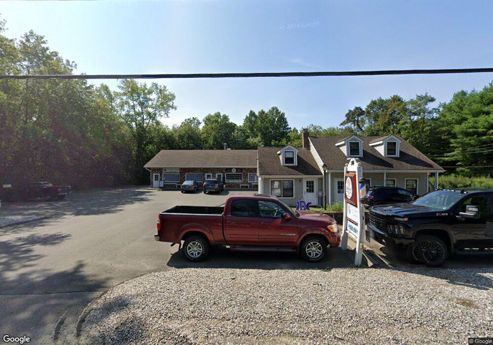
2 Route 80 Killingworth, CT 06419
Estimated Value: $248,000 - $430,000
2
Beds
1
Bath
1,728
Sq Ft
$200/Sq Ft
Est. Value
About This Home
This home is located at 2 Route 80, Killingworth, CT 06419 and is currently estimated at $345,035, approximately $199 per square foot. 2 Route 80 is a home located in Middlesex County with nearby schools including Valley Regional High School and Haddam-Killingworth Intermediate School.
Ownership History
Date
Name
Owned For
Owner Type
Purchase Details
Closed on
Apr 29, 2019
Sold by
8 Rt 80 Llc
Bought by
2 Route 80 Llc
Current Estimated Value
Purchase Details
Closed on
Oct 9, 2014
Sold by
Pac Principal Assets L
Bought by
8 Route 80 Llc
Home Financials for this Owner
Home Financials are based on the most recent Mortgage that was taken out on this home.
Original Mortgage
$450,500
Interest Rate
4.1%
Mortgage Type
Purchase Money Mortgage
Purchase Details
Closed on
Oct 31, 1997
Sold by
Lyons Harold Wayne and Lyons Joyce E
Bought by
M & L Products Inc
Create a Home Valuation Report for This Property
The Home Valuation Report is an in-depth analysis detailing your home's value as well as a comparison with similar homes in the area
Home Values in the Area
Average Home Value in this Area
Purchase History
| Date | Buyer | Sale Price | Title Company |
|---|---|---|---|
| 2 Route 80 Llc | $146,500 | -- | |
| 2 Route 80 Llc | $146,500 | -- | |
| 8 Route 80 Llc | $400,000 | -- | |
| M & L Products Inc | $120,000 | -- | |
| 8 Route 80 Llc | $400,000 | -- | |
| M & L Products Inc | $120,000 | -- |
Source: Public Records
Mortgage History
| Date | Status | Borrower | Loan Amount |
|---|---|---|---|
| Previous Owner | M & L Products Inc | $450,500 | |
| Previous Owner | M & L Products Inc | $884,000 |
Source: Public Records
Tax History
| Year | Tax Paid | Tax Assessment Tax Assessment Total Assessment is a certain percentage of the fair market value that is determined by local assessors to be the total taxable value of land and additions on the property. | Land | Improvement |
|---|---|---|---|---|
| 2025 | $3,190 | $121,660 | $52,570 | $69,090 |
| 2024 | $2,619 | $108,150 | $52,570 | $55,580 |
| 2023 | $2,538 | $108,150 | $52,570 | $55,580 |
| 2022 | $2,511 | $108,150 | $52,570 | $55,580 |
| 2021 | $2,884 | $107,940 | $55,210 | $52,730 |
| 2020 | $2,884 | $107,940 | $55,210 | $52,730 |
| 2019 | $2,965 | $107,940 | $55,210 | $52,730 |
| 2018 | $2,965 | $107,940 | $55,210 | $52,730 |
| 2017 | $2,965 | $107,940 | $55,210 | $52,730 |
| 2016 | $2,800 | $108,140 | $89,940 | $18,200 |
| 2015 | $3,118 | $123,600 | $89,940 | $33,660 |
| 2014 | $4,444 | $181,180 | $109,880 | $71,300 |
Source: Public Records
Map
Nearby Homes
- 57 Witch Hazel Dr
- 0 Glen Grove Rd
- 24 Tower Hill Rd
- 179 Route 81
- 97 Bushy Hill Rd
- 11 Parker Hill Rd
- 4 Laurel Ln
- 28 Woodland Trail
- 262 Connecticut 81
- 38 Beech Tree Ridge
- 48A Ironworks Rd
- 50 Kelseytown Rd
- 51 Ironworks Rd
- 43 Evergreen Park
- 74 Bushy Hill Rd
- 86 Bushy Hill Rd
- 29 Welsch Farms Rd
- 41 Bushy Hill Rd
- 244 Cow Hill Rd
- 172 Parker Hill Rd
- 2 Route 80
- 8 Route 80 Unit D
- 8 Route 80 Unit B
- 8 Route 80 Unit 5
- 8 Route 80 Unit 4
- 8 Route 80 Unit 3
- 8 Route 80 Unit 1
- 8 Route 80 Unit 2
- 8 Deep River Rd Unit F
- 8 Deep River Rd
- 5 Tower Hill Rd
- 15 Route 80
- 18 Route 80
- 14 Connecticut 80
- 24 Route 80
- 15 Tower Hill Rd
- 19 Tower Hill Rd
- 79 Tower Hill Rd
- 10 Tower Hill Rd
- 65 Tower Hill Rd
Your Personal Tour Guide
Ask me questions while you tour the home.