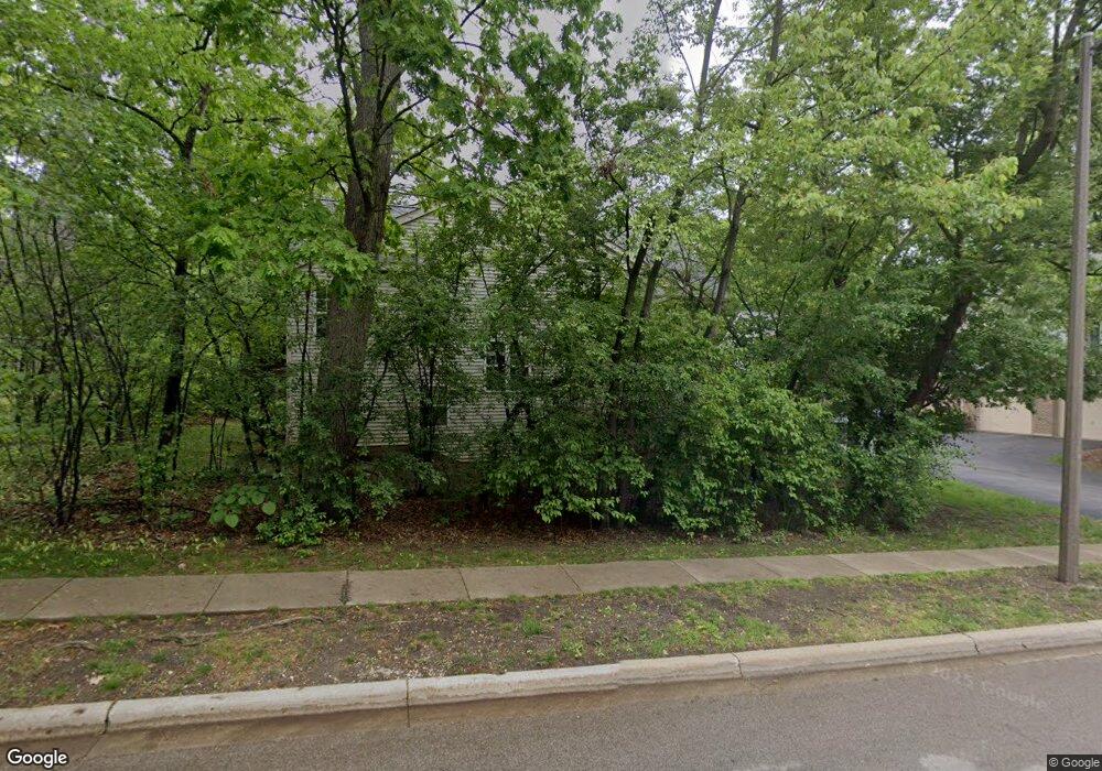
2 Samuel Dr Unit 11 Streamwood, IL 60107
Estimated Value: $337,000 - $352,000
About This Home
This home is located at 2 Samuel Dr Unit 11, Streamwood, IL 60107 and is currently estimated at $343,874, approximately $191 per square foot. 2 Samuel Dr Unit 11 is a home located in Cook County with nearby schools including Heritage Elementary School, Tefft Middle School, and Streamwood High School.
Ownership History
We collect this data history from publicly available records. To have your information removed, we recommend requesting removal directly through your county’s website.
Purchase Details
Home Financials for this Owner
Home Financials are based on the most recent Mortgage that was taken out on this home.Purchase Details
Purchase Details
Home Financials for this Owner
Home Financials are based on the most recent Mortgage that was taken out on this home.Purchase Details
Home Financials for this Owner
Home Financials are based on the most recent Mortgage that was taken out on this home.Purchase Details
Home Values in the Area
Average Home Value in this Area
Purchase History
We collect this data history from publicly available records. To have your information removed, we recommend requesting removal directly through your county’s website.
| Date | Buyer | Sale Price | Title Company |
|---|---|---|---|
| $143,500 | First American Title | ||
| -- | None Available | ||
| $290,000 | Cti | ||
| -- | Attorneys Title Guaranty Fun | ||
| -- | None Available |
Mortgage History
We collect this data history from publicly available records. To have your information removed, we recommend requesting removal directly through your county’s website.
| Date | Status | Borrower | Loan Amount |
|---|---|---|---|
| Open | $107,625 | ||
| Previous Owner | $275,500 | ||
| Previous Owner | $200,000 |
Tax History
We collect this data history from publicly available records. To have your information removed, we recommend requesting removal directly through your county’s website.
| Year | Tax Paid | Tax Assessment Tax Assessment Total Assessment is a certain percentage of the fair market value that is determined by local assessors to be the total taxable value of land and additions on the property. | Land | Improvement |
|---|---|---|---|---|
| 2025 | $7,468 | $31,901 | $2,551 | $29,350 |
| 2024 | $7,468 | $24,182 | $2,915 | $21,267 |
| 2023 | $7,272 | $24,182 | $2,915 | $21,267 |
| 2022 | $7,272 | $24,182 | $2,915 | $21,267 |
| 2021 | $6,734 | $18,402 | $2,186 | $16,216 |
| 2020 | $6,619 | $18,402 | $2,186 | $16,216 |
| 2019 | $6,572 | $20,551 | $2,186 | $18,365 |
| 2018 | $5,777 | $16,390 | $1,913 | $14,477 |
| 2017 | $5,698 | $16,390 | $1,913 | $14,477 |
| 2016 | $5,313 | $16,390 | $1,913 | $14,477 |
| 2015 | $5,210 | $14,677 | $1,730 | $12,947 |
| 2014 | $5,131 | $14,677 | $1,730 | $12,947 |
| 2013 | $4,972 | $14,677 | $1,730 | $12,947 |
Map
- 136 Virginia Ct
- 2022 Duxbury Ct
- 207 Locksley Dr
- 12 Wild Rose Ct
- 107 Winchester Dr Unit A
- 1041 Fulton Dr
- 140 Heritage Ln Unit 117R140
- 126 Winchester Dr Unit B
- 4 Forest Cove Ct
- 123 Edgewood Dr
- 4028 Oxford Ct
- 139 Brittany Dr Unit B
- 4096 Quincy Ct Unit 3
- 1001 Oak Ridge Dr
- 2 Osprey Ct
- 79 Brookstone Dr
- 916 Mulberry Ln
- 420 Ford Ln
- 772 Red Oak Dr
- 420 Chara Ct
- 1 Samuel Dr Unit 191
- 3 Samuel Dr Unit 192
- 5 Samuel Dr Unit 193
- 7 Samuel Dr Unit 194
- 25 Samuel Dr Unit 181
- 25 Samuel Dr Unit END
- 23 Samuel Dr Unit 182
- 21 Samuel Dr Unit 183
- 2 Samuel Dr Unit 33
- 2 Samuel Dr Unit 2
- 4 Samuel Dr Unit 12
- 6 Samuel Dr Unit 13
- 16 Samuel Dr Unit 24
- 14 Samuel Dr Unit 23
- 14 Samuel Dr Unit 3
- 8 Samuel Dr Unit 14
- 8 Samuel Dr Unit 8
- 31 Samuel Dr Unit 176
- 12 Samuel Dr Unit 22
- 50 Cambridge Ave
Ask me questions while you tour the home.