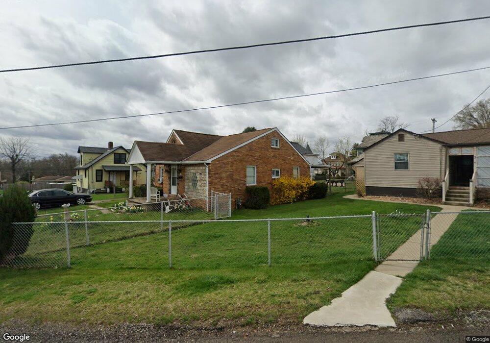
2 Shafter St Mc Kees Rocks, PA 15136
Estimated Value: $147,000 - $171,000
3
Beds
2
Baths
957
Sq Ft
$168/Sq Ft
Est. Value
About This Home
This home is located at 2 Shafter St, Mc Kees Rocks, PA 15136 and is currently estimated at $160,648, approximately $167 per square foot. 2 Shafter St is a home located in Allegheny County with nearby schools including Sto-Rox Upper Elementary School, Sto-Rox Primary Center, and Sto-Rox Junior/Senior High School.
Ownership History
Date
Name
Owned For
Owner Type
Purchase Details
Closed on
Jul 20, 2000
Sold by
Stefansyzyn William
Bought by
Chase Manhattan Mtg Corp
Current Estimated Value
Purchase Details
Closed on
Jul 13, 2000
Sold by
Residential Funding Corp
Bought by
Good Carol A
Purchase Details
Closed on
Sep 23, 1999
Sold by
Chase Manhattan Mtg Corp
Bought by
Residential Funding Corp
Purchase Details
Closed on
Nov 26, 1996
Sold by
Sacco Michael A and Sacco Luanne C
Bought by
Stefanyszyn William
Create a Home Valuation Report for This Property
The Home Valuation Report is an in-depth analysis detailing your home's value as well as a comparison with similar homes in the area
Home Values in the Area
Average Home Value in this Area
Purchase History
We collect this data history from publicly available records. To have your information removed, we recommend requesting removal directly through your county’s website.
| Date | Buyer | Sale Price | Title Company |
|---|---|---|---|
| Chase Manhattan Mtg Corp | $6,173 | -- | |
| Good Carol A | $44,900 | -- | |
| Residential Funding Corp | $50,517 | -- | |
| Stefanyszyn William | $75,000 | -- |
Source: Public Records
Tax History
| Year | Tax Paid | Tax Assessment Tax Assessment Total Assessment is a certain percentage of the fair market value that is determined by local assessors to be the total taxable value of land and additions on the property. | Land | Improvement |
|---|---|---|---|---|
| 2025 | $2,472 | $57,200 | $20,200 | $37,000 |
| 2024 | $2,472 | $57,200 | $20,200 | $37,000 |
| 2023 | $2,376 | $57,200 | $20,200 | $37,000 |
| 2022 | $2,300 | $57,200 | $20,200 | $37,000 |
| 2021 | $271 | $57,200 | $20,200 | $37,000 |
| 2020 | $2,248 | $57,200 | $20,200 | $37,000 |
| 2019 | $2,248 | $57,200 | $20,200 | $37,000 |
| 2018 | $271 | $57,200 | $20,200 | $37,000 |
| 2017 | $2,196 | $57,200 | $20,200 | $37,000 |
| 2016 | $271 | $57,200 | $20,200 | $37,000 |
| 2015 | $271 | $57,200 | $20,200 | $37,000 |
| 2014 | $2,196 | $57,200 | $20,200 | $37,000 |
Source: Public Records
Map
Nearby Homes
- 513 Mccoy Rd
- 416 Phillips Ave
- 412 Phillips Ave
- 583 Hillcrest Ave
- 345 Roosevelt Ave
- 934 Ridge Ave
- 390 Roosevelt Ave
- 1212 Woodward Ave
- 144 Davis Ave
- 1219 Woodward Ave
- 1412 Broadway Ave
- 811 10th St
- 825 Benwood Ave
- 1113 Broadway Ave
- 1131 13th St
- 832 Broadway Ave
- 815 Broadway Ave
- 1139 W 11th St
- 712 Broadway Ave
- 708 Broadway Ave
Your Personal Tour Guide
Ask me questions while you tour the home.