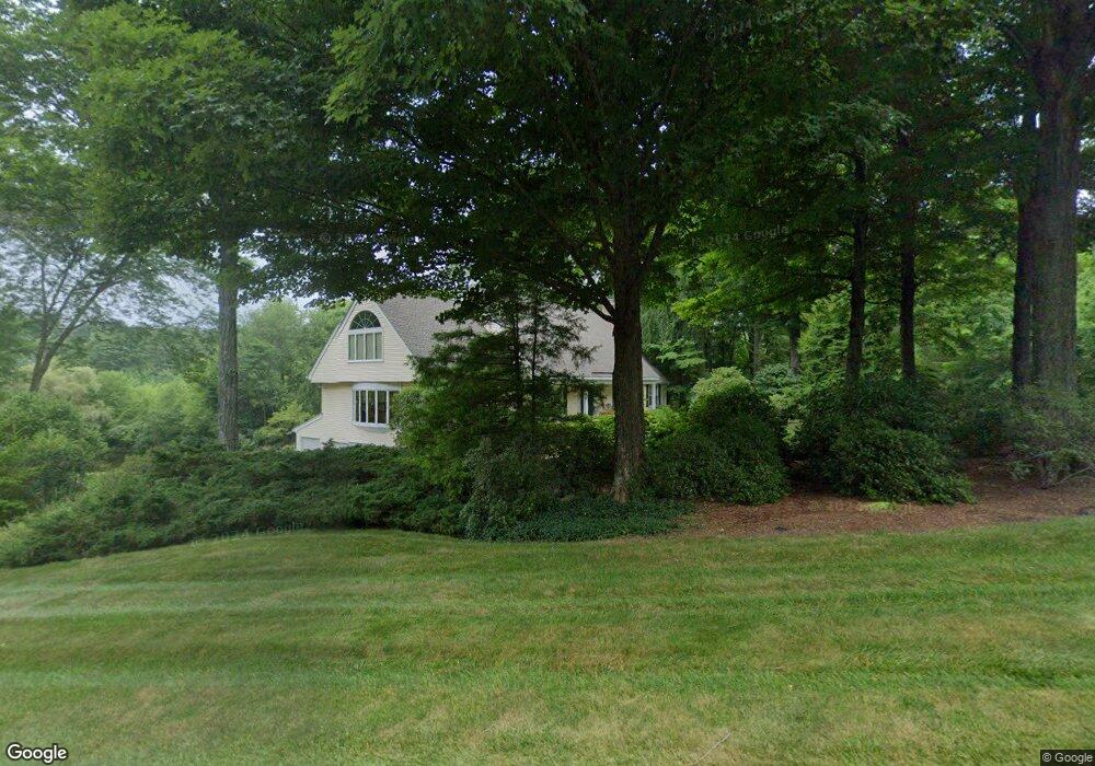
2 Stonepost Simsbury, CT 06070
Estimated Value: $831,163 - $982,000
4
Beds
4
Baths
3,508
Sq Ft
$254/Sq Ft
Est. Value
About This Home
This home is located at 2 Stonepost, Simsbury, CT 06070 and is currently estimated at $891,791, approximately $254 per square foot. 2 Stonepost is a home located in Hartford County with nearby schools including Latimer Lane School, Henry James Memorial School, and Simsbury High School.
Ownership History
Date
Name
Owned For
Owner Type
Purchase Details
Closed on
Sep 15, 2000
Sold by
Kramer Mark and Kramer Karin
Bought by
Spiro Ellen L and Spiro Jeffrey D
Current Estimated Value
Purchase Details
Closed on
Nov 2, 1998
Sold by
Burke Kerry G
Bought by
Kramer Mark and Kramer Karin
Purchase Details
Closed on
Oct 11, 1988
Sold by
Walker Terrilynne
Bought by
Caporaso Richard
Create a Home Valuation Report for This Property
The Home Valuation Report is an in-depth analysis detailing your home's value as well as a comparison with similar homes in the area
Home Values in the Area
Average Home Value in this Area
Purchase History
| Date | Buyer | Sale Price | Title Company |
|---|---|---|---|
| Spiro Ellen L | $476,000 | -- | |
| Kramer Mark | $343,000 | -- | |
| Caporaso Richard | $555,000 | -- |
Source: Public Records
Mortgage History
| Date | Status | Borrower | Loan Amount |
|---|---|---|---|
| Closed | Caporaso Richard | $213,000 | |
| Closed | Caporaso Richard | $50,000 |
Source: Public Records
Tax History
| Year | Tax Paid | Tax Assessment Tax Assessment Total Assessment is a certain percentage of the fair market value that is determined by local assessors to be the total taxable value of land and additions on the property. | Land | Improvement |
|---|---|---|---|---|
| 2025 | $17,418 | $509,880 | $112,070 | $397,810 |
| 2024 | $16,984 | $509,880 | $112,070 | $397,810 |
| 2023 | $16,224 | $509,880 | $112,070 | $397,810 |
| 2022 | $13,926 | $360,500 | $119,090 | $241,410 |
| 2021 | $13,926 | $360,500 | $119,090 | $241,410 |
| 2020 | $13,371 | $360,500 | $119,090 | $241,410 |
| 2019 | $13,454 | $360,500 | $119,090 | $241,410 |
| 2018 | $13,551 | $360,500 | $119,090 | $241,410 |
| 2017 | $14,158 | $365,280 | $111,810 | $253,470 |
| 2016 | $13,559 | $365,280 | $111,810 | $253,470 |
| 2015 | $13,559 | $365,280 | $111,810 | $253,470 |
| 2014 | $13,566 | $365,280 | $111,810 | $253,470 |
Source: Public Records
Map
Nearby Homes
- 545 Simsbury Rd
- 63 Duncaster Rd
- 11 Saddle Ridge Unit 11
- 8 Gargan Place
- 3 Candlewood Ct
- 2 Gillette Ct Unit D
- 1 West St Unit 219
- 162 Thistle Pond Dr
- 126 Hopmeadow St Unit 3H
- 126 Hopmeadow St Unit 8B
- 3 Ronan Way
- 177 Thistle Pond Dr
- 24 Hunting Ridge Dr
- 47 Ashton Cir Unit 47
- 9 Carriage Dr Unit 9
- 81 Silo Way Unit 81
- 10 Old Meadow Way
- 46 Burnwood Dr
- 6 Heritage Ln
- 93 Old Meadow Plain Rd
Your Personal Tour Guide
Ask me questions while you tour the home.