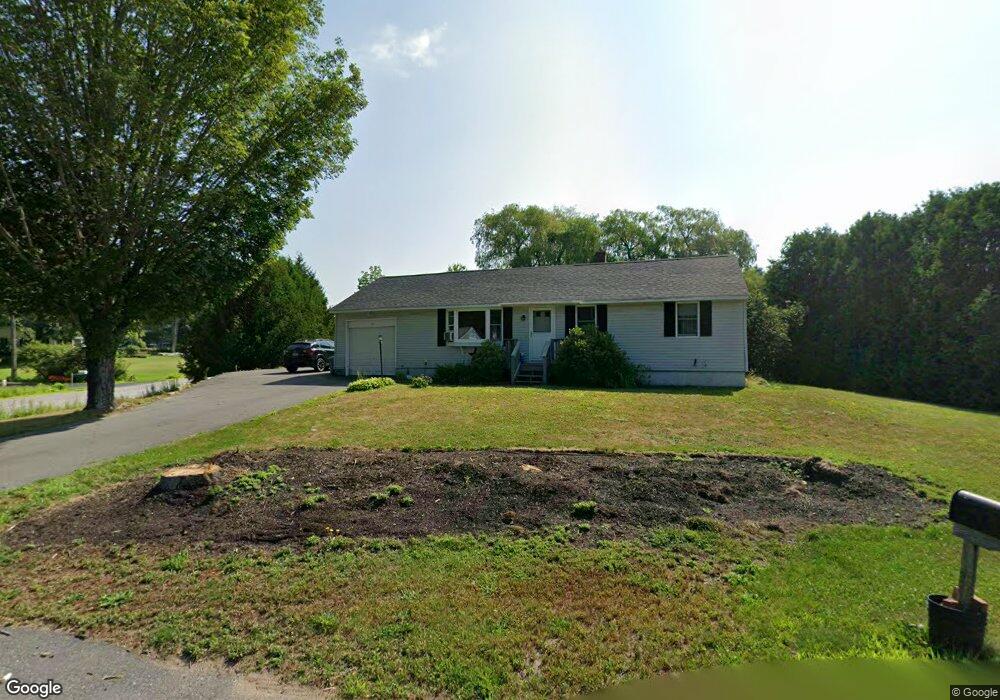
2 Tanning Brook Rd Manchester, ME 04351
Estimated Value: $262,125 - $305,000
3
Beds
1
Bath
1,008
Sq Ft
$289/Sq Ft
Est. Value
About This Home
This home is located at 2 Tanning Brook Rd, Manchester, ME 04351 and is currently estimated at $291,031, approximately $288 per square foot. 2 Tanning Brook Rd is a home with nearby schools including St. Michael School.
Ownership History
Date
Name
Owned For
Owner Type
Purchase Details
Closed on
Aug 5, 2020
Sold by
Ault Linda H
Bought by
Leary Kevin P
Current Estimated Value
Home Financials for this Owner
Home Financials are based on the most recent Mortgage that was taken out on this home.
Original Mortgage
$115,000
Outstanding Balance
$101,747
Interest Rate
3.1%
Mortgage Type
New Conventional
Estimated Equity
$189,284
Create a Home Valuation Report for This Property
The Home Valuation Report is an in-depth analysis detailing your home's value as well as a comparison with similar homes in the area
Home Values in the Area
Average Home Value in this Area
Purchase History
| Date | Buyer | Sale Price | Title Company |
|---|---|---|---|
| Leary Kevin P | -- | None Available | |
| Leary Kevin P | -- | None Available | |
| Leary Kevin P | -- | None Available |
Source: Public Records
Mortgage History
| Date | Status | Borrower | Loan Amount |
|---|---|---|---|
| Open | Leary Kevin P | $115,000 | |
| Closed | Leary Kevin P | $115,000 |
Source: Public Records
Tax History
| Year | Tax Paid | Tax Assessment Tax Assessment Total Assessment is a certain percentage of the fair market value that is determined by local assessors to be the total taxable value of land and additions on the property. | Land | Improvement |
|---|---|---|---|---|
| 2024 | $2,057 | $123,900 | $38,200 | $85,700 |
| 2023 | $2,057 | $123,900 | $38,200 | $85,700 |
| 2022 | $1,951 | $123,900 | $38,200 | $85,700 |
| 2021 | $1,982 | $123,900 | $38,200 | $85,700 |
| 2020 | $2,168 | $123,900 | $38,200 | $85,700 |
| 2019 | $2,181 | $123,900 | $38,200 | $85,700 |
| 2018 | $2,150 | $123,900 | $38,200 | $85,700 |
| 2017 | $2,094 | $123,900 | $38,200 | $85,700 |
| 2016 | $2,032 | $123,900 | $38,200 | $85,700 |
| 2015 | $1,976 | $123,900 | $38,200 | $85,700 |
| 2013 | $1,852 | $123,900 | $38,200 | $85,700 |
Source: Public Records
Map
Nearby Homes
- 0 Cross St
- 903 Western Ave
- 50 Country Club Rd
- 35 Estates Dr Unit 3
- 43 Estates Dr Unit 4
- Lot 40 Range Way
- 2549 US Route 202
- 377 Readfield Rd
- 226 Pond Rd
- 424 Winthrop St
- 64 Pineland Dr
- 19 Windy Meadows Dr
- 225 Mount Vernon Rd
- 14 Meadow View Dr
- 4 Meadow View Dr
- 12 Meadow View Dr
- 10 Meadow View Dr
- 16 Meadow View Dr
- 24 Winthrop Center Rd
- 17 Meadow View Dr
- 10 Tanning Brook Rd
- 0 Kennison
- 18 Kennison St
- 24 Kennison St Unit C-5
- 22 Kennison St Unit a-1
- 7 Kennison St
- 7 Tanning Brook Rd
- 3 Kennison St
- 11 Tanning Brook Rd
- 27 Kennison St
- 101 Readfield Rd
- 26 Kennison St
- 12 Tanning Brook Rd
- Lot 0 Kennison St
- 117 Readfield Rd
- 7 Heather St
- 1 Ryan Dr
- 2 Ryan Dr
- 11 Nada Rd
- 93 Readfield Rd
Your Personal Tour Guide
Ask me questions while you tour the home.