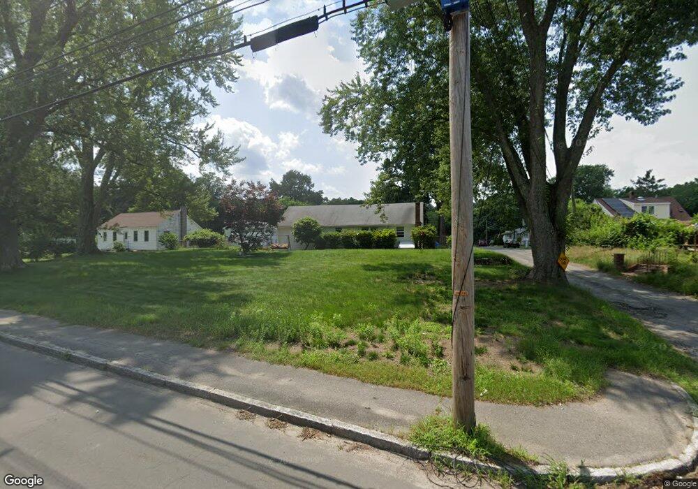
2 Webster Ave Methuen, MA 01844
The North End NeighborhoodEstimated Value: $475,013 - $550,000
About This Home
This home is located at 2 Webster Ave, Methuen, MA 01844 and is currently estimated at $511,503, approximately $518 per square foot. 2 Webster Ave is a home located in Essex County with nearby schools including Methuen High School, Community Day Charter Public School - Gateway, and Silver Hill Elementary School.
Ownership History
We collect this data history from publicly available records. To have your information removed, we recommend requesting removal directly through your county’s website.
Purchase Details
Purchase Details
Purchase Details
Home Values in the Area
Average Home Value in this Area
Purchase History
We collect this data history from publicly available records. To have your information removed, we recommend requesting removal directly through your county’s website.
| Date | Buyer | Sale Price | Title Company |
|---|---|---|---|
| -- | None Available | ||
| -- | None Available | ||
| -- | None Available | ||
| -- | None Available | ||
| -- | -- | ||
| -- | -- |
Mortgage History
We collect this data history from publicly available records. To have your information removed, we recommend requesting removal directly through your county’s website.
| Date | Status | Borrower | Loan Amount |
|---|---|---|---|
| Previous Owner | $150,000 | ||
| Previous Owner | $203,000 | ||
| Previous Owner | $25,000 | ||
| Previous Owner | $25,000 |
Tax History
We collect this data history from publicly available records. To have your information removed, we recommend requesting removal directly through your county’s website.
| Year | Tax Paid | Tax Assessment Tax Assessment Total Assessment is a certain percentage of the fair market value that is determined by local assessors to be the total taxable value of land and additions on the property. | Land | Improvement |
|---|---|---|---|---|
| 2025 | $4,250 | $401,700 | $226,200 | $175,500 |
| 2024 | $4,140 | $381,200 | $205,600 | $175,600 |
| 2023 | $3,911 | $334,300 | $181,900 | $152,400 |
| 2022 | $3,717 | $284,800 | $150,300 | $134,500 |
| 2021 | $3,497 | $265,100 | $142,300 | $122,800 |
| 2020 | $3,502 | $260,600 | $142,300 | $118,300 |
| 2019 | $3,328 | $234,500 | $134,400 | $100,100 |
| 2018 | $3,274 | $229,400 | $134,400 | $95,000 |
| 2017 | $3,104 | $211,900 | $126,500 | $85,400 |
| 2016 | $3,075 | $207,600 | $126,500 | $81,100 |
| 2015 | $2,878 | $197,100 | $118,600 | $78,500 |
Map
- 10 Blye Rd
- 20 Russell Farm Dr Unit 19
- 64 Pine Tree Dr
- 64 Pine Tree Dr Unit 64
- 49 Pine Tree Dr Unit 49
- 3 Michael Anthony Rd
- 130 Neck Rd
- 163 Old Ferry Rd
- 395 Merrimack St Unit 42
- 43 Dale St Unit 43
- 179 Pleasant Valley St Unit A
- 179 Pleasant Valley St Unit F
- 34 Hatch St
- 19 Forest St
- 635 W Lowell Ave Unit 7
- 40 Phoebe St Unit 101
- 38 Phoebe St Unit 102
- 85 Phoebe St Unit 46
- 43 Constitution Way
- 109 S Riverview St Unit 109
- 562 Merrimack St
- 1 Webster Ave
- 0 Webster Ave
- 568 Merrimack St
- 10 Webster Ave
- 2 Esmond Ave
- 5 Webster Ave
- 558 Merrimack St
- 566 Merrimack St
- 21 Addison Ave
- 550 Merrimack St
- 570 Merrimack St
- 10 Addison Ave
- 548 Merrimack St
- 1 Esmond Ave
- 2 Brookdale Ave
- 4 Brookdale Ave
- 3 Brookdale Ave
- 542 Merrimack St
- 0 Addison Ave
Ask me questions while you tour the home.