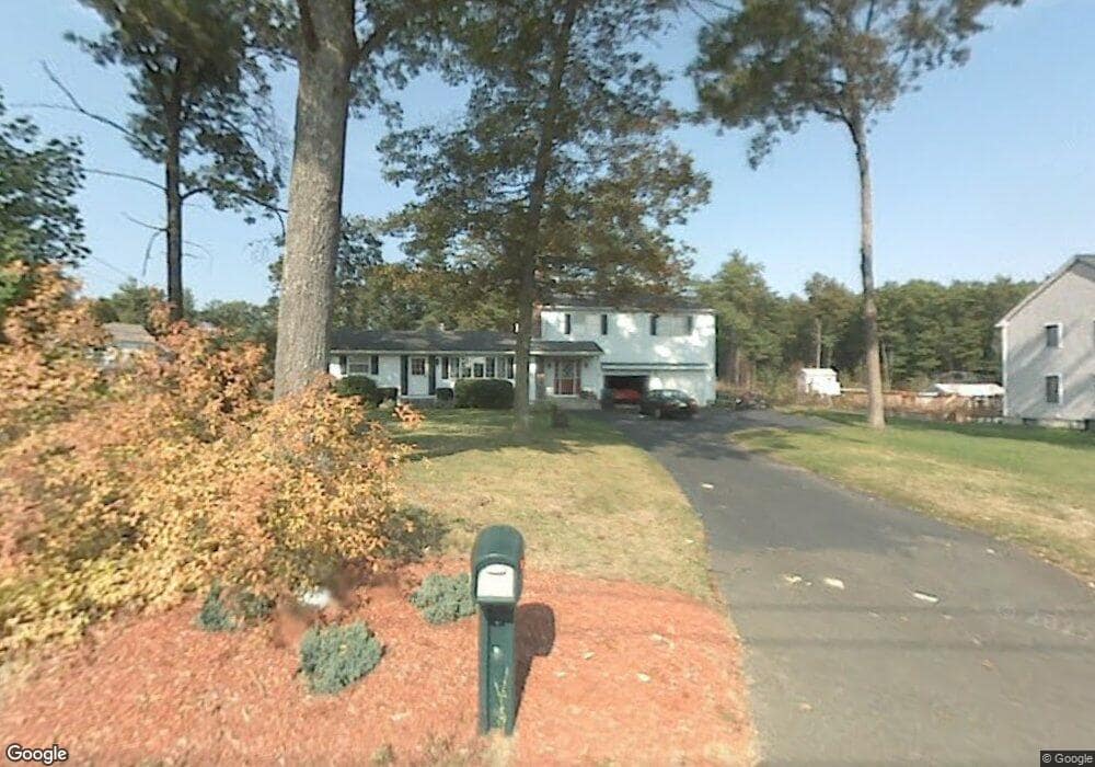
20 Bennett Rd Westfield, MA 01085
Estimated Value: $322,000 - $396,693
4
Beds
2
Baths
1,920
Sq Ft
$189/Sq Ft
Est. Value
About This Home
This home is located at 20 Bennett Rd, Westfield, MA 01085 and is currently estimated at $362,673, approximately $188 per square foot. 20 Bennett Rd is a home located in Hampden County with nearby schools including Westfield High School, White Oak School, and Westfield Christian Academy.
Ownership History
Date
Name
Owned For
Owner Type
Purchase Details
Closed on
Jul 16, 2025
Sold by
Bucko Camilla
Bought by
Trout Krystina and Trout Travis
Current Estimated Value
Home Financials for this Owner
Home Financials are based on the most recent Mortgage that was taken out on this home.
Original Mortgage
$256,000
Outstanding Balance
$253,878
Interest Rate
5.88%
Mortgage Type
New Conventional
Estimated Equity
$108,795
Purchase Details
Closed on
Apr 29, 1969
Bought by
Bucko Joseph A and Panek Camilla J
Create a Home Valuation Report for This Property
The Home Valuation Report is an in-depth analysis detailing your home's value as well as a comparison with similar homes in the area
Home Values in the Area
Average Home Value in this Area
Purchase History
| Date | Buyer | Sale Price | Title Company |
|---|---|---|---|
| Trout Krystina | $320,000 | -- | |
| Trout Krystina L | $320,000 | -- | |
| Bucko Joseph A | -- | -- |
Source: Public Records
Mortgage History
| Date | Status | Borrower | Loan Amount |
|---|---|---|---|
| Open | Trout Krystina L | $256,000 | |
| Closed | Trout Krystina L | $256,000 |
Source: Public Records
Tax History
| Year | Tax Paid | Tax Assessment Tax Assessment Total Assessment is a certain percentage of the fair market value that is determined by local assessors to be the total taxable value of land and additions on the property. | Land | Improvement |
|---|---|---|---|---|
| 2025 | $4,648 | $306,200 | $101,200 | $205,000 |
| 2024 | $4,480 | $280,500 | $92,000 | $188,500 |
| 2023 | $4,157 | $256,100 | $87,800 | $168,300 |
| 2022 | $4,157 | $224,800 | $78,200 | $146,600 |
| 2021 | $4,004 | $212,100 | $73,800 | $138,300 |
| 2020 | $4,085 | $212,200 | $73,800 | $138,400 |
| 2019 | $3,969 | $201,800 | $70,200 | $131,600 |
| 2018 | $3,907 | $201,800 | $70,200 | $131,600 |
| 2017 | $3,814 | $196,400 | $71,200 | $125,200 |
| 2016 | $3,818 | $196,400 | $71,200 | $125,200 |
| 2015 | $3,730 | $201,200 | $71,200 | $130,000 |
| 2014 | $2,789 | $201,200 | $71,200 | $130,000 |
Source: Public Records
Map
Nearby Homes
- 134 Russellville Rd
- 458 Montgomery Rd
- 336 Russellville Rd
- 182 Lockhouse Rd
- 24 Jaeger Dr
- 132 North Rd
- 45 Jaeger Dr
- 0 Char Dr
- 0 Lockhouse Rd Unit 73496193
- 19 Arch Rd
- 52 & 53 Bayberry Ln
- 288 Buck Pond Rd
- 88 Woodmont St
- 745 West Rd
- Lot 5 Brickyard Rd
- 202 Brickyard Rd
- 9 Montgomery St
- 19 Cottage Ave
- Lot 5 Montgomery
- 274 Prospect Street Extension
Your Personal Tour Guide
Ask me questions while you tour the home.