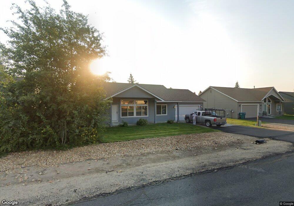
20 Charters Dr Donnelly, ID 83615
Estimated Value: $382,000 - $465,000
3
Beds
2
Baths
1,430
Sq Ft
$289/Sq Ft
Est. Value
About This Home
This home is located at 20 Charters Dr, Donnelly, ID 83615 and is currently estimated at $413,221, approximately $288 per square foot. 20 Charters Dr is a home located in Valley County with nearby schools including Donnelly Elementary School and McCall-Donnelly High School.
Ownership History
Date
Name
Owned For
Owner Type
Purchase Details
Closed on
Jun 9, 2010
Sold by
Federal National Mortgage Association
Bought by
Heise Christopher and Heise Layla
Current Estimated Value
Home Financials for this Owner
Home Financials are based on the most recent Mortgage that was taken out on this home.
Original Mortgage
$76,400
Outstanding Balance
$51,354
Interest Rate
5.03%
Mortgage Type
New Conventional
Estimated Equity
$361,867
Purchase Details
Closed on
Feb 24, 2010
Sold by
Select Portfolio Servicing Inc
Bought by
Federal National Mortgage Association
Purchase Details
Closed on
Feb 11, 2010
Sold by
Pomerleau Kevin L and Pomerleau Kristen S
Bought by
Portfolio Servicing Inc
Create a Home Valuation Report for This Property
The Home Valuation Report is an in-depth analysis detailing your home's value as well as a comparison with similar homes in the area
Home Values in the Area
Average Home Value in this Area
Purchase History
| Date | Buyer | Sale Price | Title Company |
|---|---|---|---|
| Heise Christopher | -- | -- | |
| Federal National Mortgage Association | -- | -- | |
| Portfolio Servicing Inc | $159,154 | -- |
Source: Public Records
Mortgage History
| Date | Status | Borrower | Loan Amount |
|---|---|---|---|
| Open | Heise Christopher | $76,400 |
Source: Public Records
Tax History
| Year | Tax Paid | Tax Assessment Tax Assessment Total Assessment is a certain percentage of the fair market value that is determined by local assessors to be the total taxable value of land and additions on the property. | Land | Improvement |
|---|---|---|---|---|
| 2025 | $1,088 | $385,572 | $26,665 | $358,907 |
| 2023 | $1,088 | $439,820 | $27,511 | $412,309 |
| 2022 | $1,208 | $393,589 | $27,511 | $366,078 |
| 2021 | $1,108 | $230,010 | $21,162 | $208,848 |
| 2020 | $1,083 | $187,915 | $26,333 | $161,582 |
| 2019 | $930 | $147,443 | $25,079 | $122,364 |
| 2018 | $903 | $135,457 | $23,591 | $111,866 |
| 2017 | $979 | $134,591 | $26,971 | $107,620 |
| 2016 | $916 | $123,649 | $25,000 | $98,649 |
| 2015 | $808 | $102,752 | $0 | $0 |
| 2013 | -- | $100,055 | $0 | $0 |
Source: Public Records
Map
Nearby Homes
- 53 Norwood Place
- 35 Moore Rd
- 58 Charters Dr
- Lot 4 Hideout Dr Unit 4
- 13091 Hill House Loop
- Lot 6 Hideout Dr Unit 6
- 13098 Hill House Loop
- 24 Mangum Cir Unit 1
- 24 Mangum Dr Unit # 1 Unit 1
- 21 Mangum Cir Unit 7
- 21 Mangum Cir Unit 7
- 34 Mangum Cir Unit 8
- 1808 Schultz
- 1808 Schultz Unit 12
- 13146 Hawks Bay Rd
- 13140 Hawks Bay Rd Unit 24
- 13140 Hawks Bay Rd
- 12 Golden Eagle Ct
- 15 Herons Nest Ct
- 15 Herons Nest Ct Unit 52
- 20 Charters Dr
- 22 Charters Dr
- 18 Charters Dr Unit 2
- 22 Charters Cir
- 16 Charters Dr
- 16 Charters Dr
- 19 Charters Dr
- 21 Charters Dr
- 17 Charters Dr
- 17 Charters Dr
- 26 Charters Dr
- 23 Charters Dr
- 14 Charters Cir Unit 28
- 14 Charters Cir
- 14 Charters Dr
- 15 Charters Dr
- 25 Charters Dr
- 13101 Cameron Dr
- 20 Buckskin Dr
- 22 Buckskin Dr
Your Personal Tour Guide
Ask me questions while you tour the home.