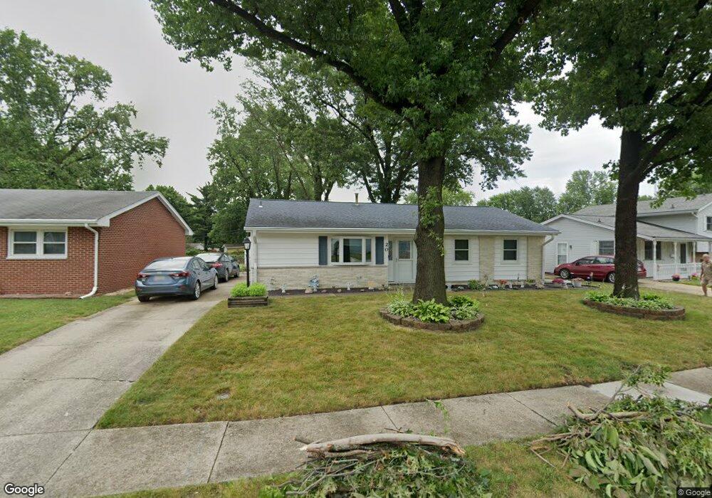
20 Del Mar Dr Springfield, IL 62703
Glen Aire NeighborhoodEstimated Value: $137,431 - $166,000
About This Home
This home is located at 20 Del Mar Dr, Springfield, IL 62703 and is currently estimated at $146,358, approximately $113 per square foot. 20 Del Mar Dr is a home located in Sangamon County with nearby schools including Laketown Elementary School, Jefferson Middle School, and Springfield Southeast High School.
Ownership History
We collect this data history from publicly available records. To have your information removed, we recommend requesting removal directly through your county’s website.
Purchase Details
Home Values in the Area
Average Home Value in this Area
Purchase History
We collect this data history from publicly available records. To have your information removed, we recommend requesting removal directly through your county’s website.
| Date | Buyer | Sale Price | Title Company |
|---|---|---|---|
| $69,400 | -- |
Tax History
We collect this data history from publicly available records. To have your information removed, we recommend requesting removal directly through your county’s website.
| Year | Tax Paid | Tax Assessment Tax Assessment Total Assessment is a certain percentage of the fair market value that is determined by local assessors to be the total taxable value of land and additions on the property. | Land | Improvement |
|---|---|---|---|---|
| 2025 | $2,213 | $38,331 | $7,249 | $31,082 |
| 2024 | $2,499 | $35,750 | $6,761 | $28,989 |
| 2023 | $2,357 | $32,655 | $6,176 | $26,479 |
| 2022 | $2,213 | $30,695 | $5,858 | $24,837 |
| 2021 | $2,119 | $29,546 | $5,639 | $23,907 |
| 2020 | $2,078 | $29,590 | $5,647 | $23,943 |
| 2019 | $2,038 | $29,486 | $5,627 | $23,859 |
| 2018 | $1,979 | $29,426 | $5,600 | $23,826 |
| 2017 | $1,764 | $29,046 | $5,528 | $23,518 |
| 2016 | $1,720 | $28,622 | $5,447 | $23,175 |
| 2015 | $1,695 | $28,280 | $5,382 | $22,898 |
| 2014 | $1,623 | $28,097 | $5,347 | $22,750 |
| 2013 | $1,587 | $27,583 | $5,347 | $22,236 |
Map
- 16 Delmar Dr
- 3012 Taylor Ave Unit 58
- 71 Radcliff Rd
- 2800 Via Rosso St Unit 146
- 2800 Via Rosso St Unit 194
- 2800 Via Rosso St Unit 603
- 2800 Via Rosso St Unit 605
- 2800 Via Rosso St Unit 106
- 2800 Via Rosso St Unit 15
- 3100 Butler St Unit 1833
- 2130 Grant St
- Lot 1 & 2 Bunn Dr
- 446 W Lake Shore Dr
- 3230 Buckner St Unit 1
- 2143 E Hood St
- 27 Circle Dr Unit 1
- 2805 S 15th St
- 1904 E Cornell Ave
- 180 E Hazel Dell Unit 1
- 146 Circle Dr Unit 1
Ask me questions while you tour the home.