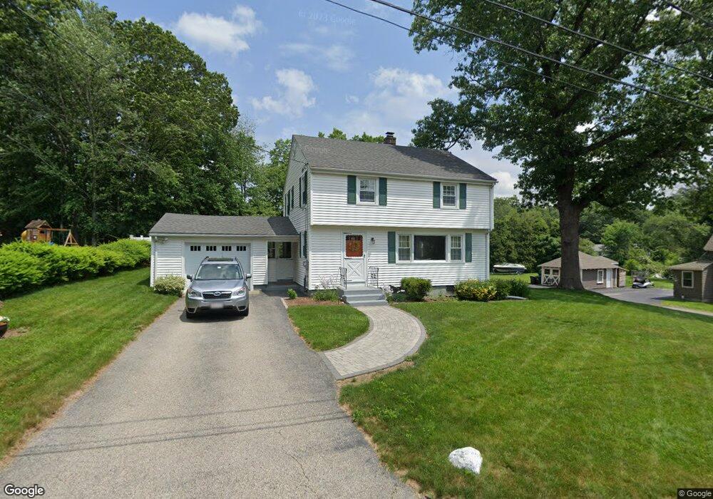
20 Dewey Ave Boylston, MA 01505
Estimated Value: $459,505 - $580,000
4
Beds
2
Baths
1,484
Sq Ft
$336/Sq Ft
Est. Value
About This Home
This home is located at 20 Dewey Ave, Boylston, MA 01505 and is currently estimated at $498,626, approximately $336 per square foot. 20 Dewey Ave is a home located in Worcester County with nearby schools including Tahanto Regional High School, Central New England Christian Academy, and St John's High School.
Ownership History
Date
Name
Owned For
Owner Type
Purchase Details
Closed on
Aug 20, 2012
Sold by
Est Olson Mary F and Olson George P
Bought by
Seed Robert F and Seed Barbara R
Current Estimated Value
Home Financials for this Owner
Home Financials are based on the most recent Mortgage that was taken out on this home.
Original Mortgage
$177,560
Outstanding Balance
$123,005
Interest Rate
3.67%
Mortgage Type
New Conventional
Estimated Equity
$375,621
Create a Home Valuation Report for This Property
The Home Valuation Report is an in-depth analysis detailing your home's value as well as a comparison with similar homes in the area
Home Values in the Area
Average Home Value in this Area
Purchase History
We collect this data history from publicly available records. To have your information removed, we recommend requesting removal directly through your county’s website.
| Date | Buyer | Sale Price | Title Company |
|---|---|---|---|
| Seed Robert F | $221,950 | -- |
Source: Public Records
Mortgage History
We collect this data history from publicly available records. To have your information removed, we recommend requesting removal directly through your county’s website.
| Date | Status | Borrower | Loan Amount |
|---|---|---|---|
| Open | Seed Robert F | $177,560 |
Source: Public Records
Tax History
| Year | Tax Paid | Tax Assessment Tax Assessment Total Assessment is a certain percentage of the fair market value that is determined by local assessors to be the total taxable value of land and additions on the property. | Land | Improvement |
|---|---|---|---|---|
| 2025 | $5,030 | $363,700 | $137,600 | $226,100 |
| 2024 | $4,592 | $332,500 | $137,600 | $194,900 |
| 2023 | $4,785 | $332,300 | $146,200 | $186,100 |
| 2022 | $5,005 | $316,000 | $146,200 | $169,800 |
| 2021 | $4,592 | $301,400 | $146,200 | $155,200 |
| 2020 | $12,125 | $264,700 | $120,800 | $143,900 |
| 2019 | $4,085 | $254,700 | $118,400 | $136,300 |
| 2018 | $4,154 | $248,300 | $118,400 | $129,900 |
| 2017 | $4,003 | $248,300 | $118,400 | $129,900 |
| 2016 | $3,760 | $229,700 | $112,400 | $117,300 |
| 2015 | $3,999 | $229,700 | $112,400 | $117,300 |
| 2014 | $3,692 | $212,300 | $100,600 | $111,700 |
Source: Public Records
Map
Nearby Homes
- 49 Cook St
- 3 Greenwood St
- 79 Humes Ave
- Lot 2 (27) Sewall St
- 3 Enaya Cir
- 39 Bullard Ave
- 5 Barnard Hill Rd
- 655 Plantation St Unit 23B
- 22 Oakland Ave
- 58 Conifer Cir Unit 24
- 17 Conifer Cir Unit 32
- 291 Sewall St Unit 291
- 289 Sewall St Unit 289
- 36 Rowena St
- 33 Smallwood Cir
- 6 Tucker St
- 14 Angell Brook Dr
- 16 Bay State Rd
- 15 Birmingham Rd
- 336 Burncoat St
Your Personal Tour Guide
Ask me questions while you tour the home.