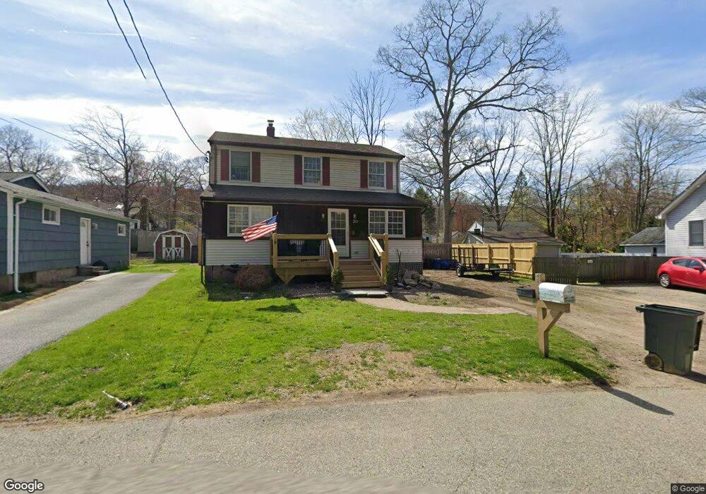
20 Dunham Rd Unit A Hewitt, NJ 07421
Estimated Value: $346,000 - $391,000
About This Home
This home is located at 20 Dunham Rd Unit A, Hewitt, NJ 07421 and is currently estimated at $371,519, approximately $1,031 per square foot. 20 Dunham Rd Unit A is a home located in Passaic County with nearby schools including Macopin Middle School and West Milford High School.
Ownership History
We collect this data history from publicly available records. To have your information removed, we recommend requesting removal directly through your county’s website.
Purchase Details
Home Financials for this Owner
Home Financials are based on the most recent Mortgage that was taken out on this home.Home Values in the Area
Average Home Value in this Area
Purchase History
We collect this data history from publicly available records. To have your information removed, we recommend requesting removal directly through your county’s website.
| Date | Buyer | Sale Price | Title Company |
|---|---|---|---|
| $125,000 | Stewart Title | ||
| $125,000 | Stewart Title |
Mortgage History
We collect this data history from publicly available records. To have your information removed, we recommend requesting removal directly through your county’s website.
| Date | Status | Borrower | Loan Amount |
|---|---|---|---|
| Open | $112,500 | ||
| Closed | $112,500 |
Tax History
We collect this data history from publicly available records. To have your information removed, we recommend requesting removal directly through your county’s website.
| Year | Tax Paid | Tax Assessment Tax Assessment Total Assessment is a certain percentage of the fair market value that is determined by local assessors to be the total taxable value of land and additions on the property. | Land | Improvement |
|---|---|---|---|---|
| 2025 | $7,147 | $176,300 | $57,600 | $118,700 |
| 2024 | $7,184 | $176,300 | $57,600 | $118,700 |
| 2022 | $6,819 | $176,300 | $57,600 | $118,700 |
| 2021 | $6,673 | $176,300 | $57,600 | $118,700 |
| 2020 | $6,602 | $176,300 | $57,600 | $118,700 |
| 2019 | $6,514 | $176,300 | $57,600 | $118,700 |
| 2018 | $6,498 | $176,300 | $57,600 | $118,700 |
| 2017 | $6,528 | $176,300 | $57,600 | $118,700 |
| 2016 | $6,539 | $176,300 | $57,600 | $118,700 |
| 2015 | $6,463 | $176,300 | $57,600 | $118,700 |
| 2014 | $6,306 | $176,300 | $57,600 | $118,700 |
Map
- 19 Dunham Rd
- 16 Morsemere Rd
- 36 Chatham Rd
- 30 Eatontown Rd
- 400 Lake Shore Dr
- 3 Riverside Rd
- 1 Riverside Rd
- 40 Kingsland Rd
- 00 Linwood Rd
- 0 Gladstone Rd
- 140 Papscoe Rd
- 173 Point Breeze Dr
- 6 Ramsay Rd
- 0 Kresson Rd
- 25 Belford Dr
- 66 Fairlawn Dr
- 0 Fairlawn Dr Unit 4017352
- 30 Belford Dr
- 6 Passaic Dr
- 14 Maine Rd
Ask me questions while you tour the home.