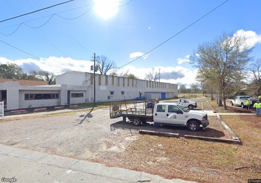
20 E Cherry St Statesboro, GA 30458
Estimated Value: $432,209
Studio
--
Bath
3,033
Sq Ft
$143/Sq Ft
Est. Value
About This Home
This home is located at 20 E Cherry St, Statesboro, GA 30458 and is currently estimated at $432,209, approximately $142 per square foot. 20 E Cherry St is a home located in Bulloch County with nearby schools including Statesboro High School, Sallie Zetterower Elementary School, and Langston Chapel Middle School.
Ownership History
Date
Name
Owned For
Owner Type
Purchase Details
Closed on
Sep 16, 2024
Sold by
Realspace Services Inc
Bought by
20 East Holdings Llc
Current Estimated Value
Purchase Details
Closed on
Sep 17, 2021
Sold by
20 East Cherry Street Llc
Bought by
Realspace Services Inc
Home Financials for this Owner
Home Financials are based on the most recent Mortgage that was taken out on this home.
Original Mortgage
$225,000
Interest Rate
2.8%
Mortgage Type
Commercial
Purchase Details
Closed on
Dec 28, 2010
Sold by
Queensborough National Ban
Bought by
20 East Cherry Street Trust
Purchase Details
Closed on
Apr 30, 2009
Sold by
Burnsed Noel
Bought by
Queensborough National Bank
Purchase Details
Closed on
Jun 20, 2008
Sold by
Not Provided
Bought by
20 East Cherry Street Llc
Purchase Details
Closed on
Dec 1, 2003
Bought by
Burnsed Noel
Purchase Details
Closed on
Nov 1, 2002
Bought by
Branch Bank & Trust Company
Purchase Details
Closed on
May 1, 2002
Bought by
American Estimating
Purchase Details
Closed on
Mar 1, 1990
Bought by
Southern Steel Fabricators
Create a Home Valuation Report for This Property
The Home Valuation Report is an in-depth analysis detailing your home's value as well as a comparison with similar homes in the area
Purchase History
| Date | Buyer | Sale Price | Title Company |
|---|---|---|---|
| 20 East Holdings Llc | -- | -- | |
| Realspace Services Inc | $300,000 | -- | |
| 20 East Cherry Street Trust | -- | -- | |
| Queensborough National Bank | -- | -- | |
| Queensborough National Bank & Trust Comp | -- | -- | |
| 20 East Cherry Street Llc | -- | -- | |
| Burnsed Noel | -- | -- | |
| Branch Bank & Trust Company | -- | -- | |
| American Estimating | -- | -- | |
| Southern Steel Fabricators | -- | -- |
Source: Public Records
Mortgage History
| Date | Status | Borrower | Loan Amount |
|---|---|---|---|
| Previous Owner | Realspace Services Inc | $225,000 |
Source: Public Records
Tax History
| Year | Tax Paid | Tax Assessment Tax Assessment Total Assessment is a certain percentage of the fair market value that is determined by local assessors to be the total taxable value of land and additions on the property. | Land | Improvement |
|---|---|---|---|---|
| 2025 | $4,837 | $158,280 | $19,520 | $138,760 |
| 2024 | $3,818 | $159,920 | $17,760 | $142,160 |
| 2023 | $3,491 | $122,159 | $17,760 | $104,399 |
| 2022 | $2,354 | $122,199 | $17,760 | $104,439 |
| 2021 | $1,754 | $86,574 | $11,248 | $75,326 |
| 2020 | $991 | $86,574 | $11,248 | $75,326 |
| 2019 | $997 | $115,758 | $11,248 | $104,510 |
| 2018 | $1,040 | $115,758 | $11,248 | $104,510 |
| 2017 | $1,052 | $30,731 | $11,248 | $19,483 |
| 2016 | $1,079 | $30,731 | $11,248 | $19,483 |
| 2015 | $1,084 | $110,607 | $11,248 | $99,359 |
| 2014 | $2,486 | $110,607 | $11,248 | $99,359 |
Source: Public Records
Map
Nearby Homes
- 107 S Mulberry St
- 110 Donaldson St
- N A
- 0 Highway 67 Unit 10541885
- 117 Avalon Trace Unit LOT 9
- 00 W Grady St
- 115 Inman Ln
- 117 W Jones Ave
- 342 Savannah Ave
- 312 Institute St
- 206 W Jones Ave
- 0 Cone Crescent Unit 10657334
- 2 Roundtree St
- 4 Roundtree St
- 0 Oak St Unit OAK ST/ LOT 2
- 6 Roundtree St
- 6.24 ACRES E Olliff St
- 403 Granade St
- 10 Carmel Dr
- 41.43 ACRES Georgia 67
- 103 S Mulberry St Unit 4
- 103 S Mulberry St
- 101 S Mulberry St Unit 103
- 101 S Mulberry St
- 101 S Mulberry St Unit 2
- E E Cherry St
- 109 S Mulberry St
- 104 S Mulberry St
- 102 S Mulberry St Unit 2
- 102 S Mulberry St
- 102 S Mulberry St Unit 1
- 106 S Mulberry St
- 111 S Mulberry St
- 108 S Mulberry St
- 110 S Mulberry St
- 109 Broad St
- 109 Broad St Unit 2
- 105 Broad St
- 101 Broad St
- 107 Broad St
Your Personal Tour Guide
Ask me questions while you tour the home.