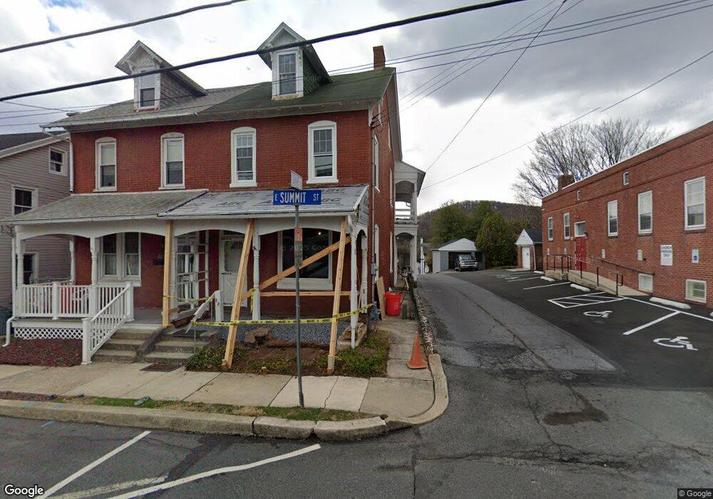
20 E Summit St Mohnton, PA 19540
Estimated Value: $199,000 - $247,000
3
Beds
2
Baths
1,340
Sq Ft
$167/Sq Ft
Est. Value
About This Home
This home is located at 20 E Summit St, Mohnton, PA 19540 and is currently estimated at $223,258, approximately $166 per square foot. 20 E Summit St is a home located in Berks County with nearby schools including Governor Mifflin Intermediate School, Brecknock Elementary School, and Governor Mifflin Middle School.
Ownership History
Date
Name
Owned For
Owner Type
Purchase Details
Closed on
Jul 26, 2022
Sold by
Curro Andrew T
Bought by
Curro Andrew T and Curro Nicole A
Current Estimated Value
Purchase Details
Closed on
Aug 25, 2016
Sold by
Quinter Raymond C
Bought by
Curro Andrew T
Home Financials for this Owner
Home Financials are based on the most recent Mortgage that was taken out on this home.
Original Mortgage
$50,000
Interest Rate
3.43%
Mortgage Type
New Conventional
Purchase Details
Closed on
Jan 11, 1972
Bought by
Bachman Elwood L and Bachman Grace J
Create a Home Valuation Report for This Property
The Home Valuation Report is an in-depth analysis detailing your home's value as well as a comparison with similar homes in the area
Home Values in the Area
Average Home Value in this Area
Purchase History
| Date | Buyer | Sale Price | Title Company |
|---|---|---|---|
| Curro Andrew T | -- | Conestoga Title | |
| Curro Andrew T | $45,000 | Conestoga Title Company | |
| Bachman Elwood L | -- | -- |
Source: Public Records
Mortgage History
| Date | Status | Borrower | Loan Amount |
|---|---|---|---|
| Previous Owner | Curro Andrew T | $50,000 |
Source: Public Records
Tax History
| Year | Tax Paid | Tax Assessment Tax Assessment Total Assessment is a certain percentage of the fair market value that is determined by local assessors to be the total taxable value of land and additions on the property. | Land | Improvement |
|---|---|---|---|---|
| 2025 | $1,312 | $78,500 | $25,500 | $53,000 |
| 2024 | $3,571 | $78,500 | $25,500 | $53,000 |
| 2023 | $3,478 | $78,500 | $25,500 | $53,000 |
| 2022 | $3,333 | $78,500 | $25,500 | $53,000 |
| 2021 | $3,294 | $78,500 | $25,500 | $53,000 |
| 2020 | $3,294 | $78,500 | $25,500 | $53,000 |
| 2019 | $3,239 | $78,500 | $25,500 | $53,000 |
| 2018 | $3,170 | $78,500 | $25,500 | $53,000 |
| 2017 | $3,059 | $77,300 | $25,500 | $51,800 |
| 2016 | $922 | $77,300 | $25,500 | $51,800 |
| 2015 | $903 | $77,300 | $25,500 | $51,800 |
| 2014 | $884 | $77,300 | $25,500 | $51,800 |
Source: Public Records
Map
Nearby Homes
- 17 E Summit St
- 78 Chestnut St
- 40 W Wyomissing Ave
- 153 E Wyomissing Ave
- 106 Pear St
- 30 W Fairview St
- 613 Leininger Ave
- 7 Buck Run
- 9 Katie Ln
- 11 Buck Run
- 205 Pembroke Dr
- 236 S Wyomissing Ave
- 239 S Wyomissing Ave
- 702 Wyomissing Rd
- 17 Charlemont Ct
- 206 Hendel St
- 2185 Welsh Rd
- 12 Ashfield Ct
- 108 S Sterley St
- 108 New Holland Ave
- 22 E Summit St
- 28 E Summit St
- 24 E Summit St
- 26 E Summit St
- 30 E Summit St
- 32 E Summit St
- 19 E Summit St
- 34 E Summit St
- 57 N Church St
- 25 E Summit St
- 17 E Summit St Unit GARAGE APARTMENT
- 17 E Summit St Unit 2 REAR
- 17 E Summit St Unit 1ST FLOOR
- 27 E Summit St
- 23 E Summit St
- 29 E Summit St
- 53 N Church St
- 109 N Church St
- 101 N Church St
- 44 E Summit St
Your Personal Tour Guide
Ask me questions while you tour the home.