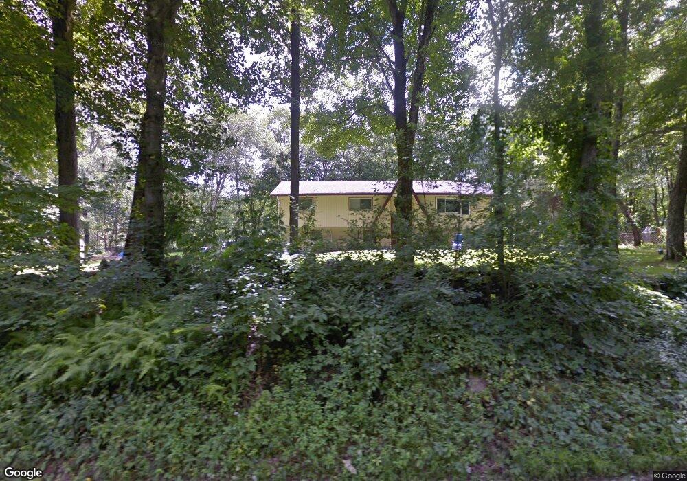
20 High Rock Rd Monroe, CT 06468
Estimated Value: $656,000 - $735,000
About This Home
This home is located at 20 High Rock Rd, Monroe, CT 06468 and is currently estimated at $691,984, approximately $285 per square foot. 20 High Rock Rd is a home located in Fairfield County with nearby schools including Fawn Hollow Elementary School, Jockey Hollow Middle School, and Masuk High School.
Ownership History
We collect this data history from publicly available records. To have your information removed, we recommend requesting removal directly through your county’s website.
Purchase Details
Purchase Details
Home Values in the Area
Average Home Value in this Area
Purchase History
We collect this data history from publicly available records. To have your information removed, we recommend requesting removal directly through your county’s website.
| Date | Buyer | Sale Price | Title Company |
|---|---|---|---|
| $202,500 | -- | ||
| $202,500 | -- | ||
| $228,000 | -- |
Mortgage History
We collect this data history from publicly available records. To have your information removed, we recommend requesting removal directly through your county’s website.
| Date | Status | Borrower | Loan Amount |
|---|---|---|---|
| Open | $252,450 | ||
| Closed | $254,000 | ||
| Closed | $250,000 |
Tax History
We collect this data history from publicly available records. To have your information removed, we recommend requesting removal directly through your county’s website.
| Year | Tax Paid | Tax Assessment Tax Assessment Total Assessment is a certain percentage of the fair market value that is determined by local assessors to be the total taxable value of land and additions on the property. | Land | Improvement |
|---|---|---|---|---|
| 2025 | $10,766 | $375,510 | $122,010 | $253,500 |
| 2024 | $9,571 | $250,100 | $102,500 | $147,600 |
| 2023 | $9,391 | $250,100 | $102,500 | $147,600 |
| 2022 | $9,219 | $250,100 | $102,500 | $147,600 |
| 2021 | $10,517 | $250,100 | $102,500 | $147,600 |
| 2020 | $8,874 | $250,100 | $102,500 | $147,600 |
| 2019 | $10,770 | $222,600 | $103,400 | $119,200 |
| 2018 | $10,729 | $222,600 | $103,400 | $119,200 |
| 2017 | $10,569 | $222,600 | $103,400 | $119,200 |
| 2016 | $7,791 | $222,600 | $103,400 | $119,200 |
| 2015 | $7,646 | $222,600 | $103,400 | $119,200 |
| 2014 | $7,917 | $255,290 | $127,960 | $127,330 |
Map
- 360 Garder Rd
- 359 Hammertown Rd
- 491 Hammertown Rd
- 3 Rowledge Pond Rd
- 275-291 Hammertown Rd
- 602 Fan Hill Rd
- 76 Mustang Dr
- 23 Grist Mill Rd
- 95 Pinto Ln
- 52 Great Ring Rd
- 42 Great Ring Rd
- 312 Turkey Roost Rd
- 49 Great Ring Rd
- 40 Great Ring Rd
- 81 Georges Ln
- 64 Grist Mill Rd
- 242 Turkey Roost Rd
- 49 Georges Ln
- 21 High Bridge Rd
- 2 Ridge Valley Rd
- 400 Hammertown Rd
- 414 Hammertown Rd
- 11 High Rock Rd
- 384 Hammertown Rd
- 3 High Rock Rd
- 25 High Rock Rd
- 419 Hammertown Rd Unit 421
- 40 High Rock Rd
- 415 Hammertown Rd
- 370 Hammertown Rd
- 14 Wild Horse Ct
- 20 Wild Horse Ct
- 427 Hammertown Rd
- 371 Hammertown Rd
- 440 Hammertown Rd
- 464 Hammertown Rd
- 27 Wild Horse Ct
- 96 Great Ring Rd
- 98 High Rock Rd
- 468 Hammertown Rd
Ask me questions while you tour the home.