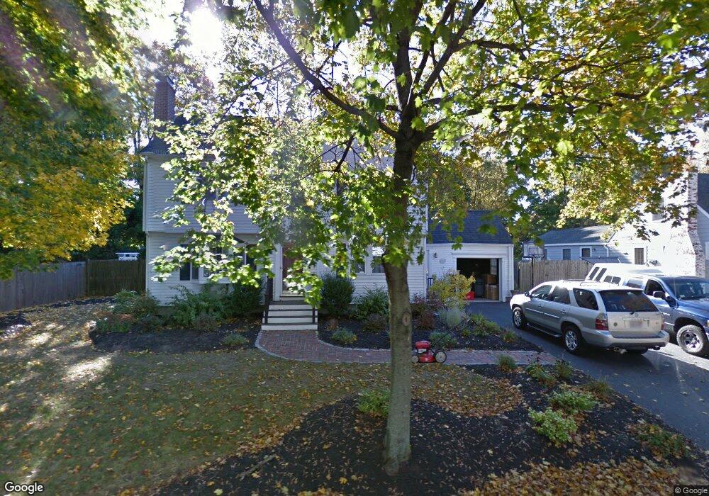
20 Lewis St Reading, MA 01867
Estimated Value: $1,030,000 - $1,203,000
4
Beds
3
Baths
2,471
Sq Ft
$451/Sq Ft
Est. Value
About This Home
This home is located at 20 Lewis St, Reading, MA 01867 and is currently estimated at $1,113,996, approximately $450 per square foot. 20 Lewis St is a home located in Middlesex County with nearby schools including Alice M. Barrows Elementary School, Walter S. Parker Middle School, and Reading Memorial High School.
Ownership History
Date
Name
Owned For
Owner Type
Purchase Details
Closed on
Jun 16, 2000
Sold by
Garretson W Daniel W and Garretson Sherri L
Bought by
Gera Mark A and Gera Dawn M
Current Estimated Value
Purchase Details
Closed on
Apr 15, 1997
Sold by
Mitropoulos Linda J and Mitropoulos Theophilos
Bought by
Garretson W Daniel W and Garretson Sherri L
Purchase Details
Closed on
Mar 20, 1989
Sold by
Steren Gary L
Bought by
Mitropoulos Theophilos
Create a Home Valuation Report for This Property
The Home Valuation Report is an in-depth analysis detailing your home's value as well as a comparison with similar homes in the area
Home Values in the Area
Average Home Value in this Area
Purchase History
We collect this data history from publicly available records. To have your information removed, we recommend requesting removal directly through your county’s website.
| Date | Buyer | Sale Price | Title Company |
|---|---|---|---|
| Gera Mark A | $295,000 | -- | |
| Garretson W Daniel W | $217,000 | -- | |
| Mitropoulos Theophilos | $205,900 | -- |
Source: Public Records
Mortgage History
We collect this data history from publicly available records. To have your information removed, we recommend requesting removal directly through your county’s website.
| Date | Status | Borrower | Loan Amount |
|---|---|---|---|
| Open | Mitropoulos Theophilos | $350,000 | |
| Closed | Mitropoulos Theophilos | $340,000 |
Source: Public Records
Tax History
| Year | Tax Paid | Tax Assessment Tax Assessment Total Assessment is a certain percentage of the fair market value that is determined by local assessors to be the total taxable value of land and additions on the property. | Land | Improvement |
|---|---|---|---|---|
| 2025 | $10,833 | $951,100 | $487,000 | $464,100 |
| 2024 | $10,710 | $913,800 | $467,900 | $445,900 |
| 2023 | $10,373 | $823,900 | $421,800 | $402,100 |
| 2022 | $9,986 | $749,100 | $383,500 | $365,600 |
| 2021 | $9,722 | $704,000 | $367,500 | $336,500 |
| 2020 | $9,345 | $669,900 | $349,700 | $320,200 |
| 2019 | $9,080 | $638,100 | $333,100 | $305,000 |
| 2018 | $2,810 | $601,800 | $314,100 | $287,700 |
| 2017 | $2,719 | $567,700 | $296,300 | $271,400 |
| 2016 | $7,251 | $500,100 | $267,700 | $232,400 |
| 2015 | $7,000 | $476,200 | $254,900 | $221,300 |
| 2014 | $6,530 | $443,000 | $237,100 | $205,900 |
Source: Public Records
Map
Nearby Homes
- 152 Oak St
- 115 Prescott St
- 141 Pine Ridge Rd
- 16 Munroe Ave
- 21 Buckingham Dr
- 168 Summer Ave
- 33 Old Farm Rd
- 120 Summer Ave
- 7 King St
- 85 Mineral St
- 16 Taylor Dr Unit 3012
- 16 Taylor Dr Unit 3003
- 20 Pinevale Ave
- 106 Johnson Woods Dr Unit 106
- 190 Main St
- 23 Augustus Ct Unit 4003
- 84 Curtis St
- 127 Johnson Woods Dr
- 269 Main St Unit 4001
- 10 Deer Path Ln Unit 10
Your Personal Tour Guide
Ask me questions while you tour the home.