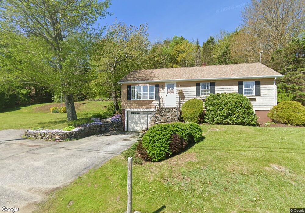
20 Lighthouse Rd Owls Head, ME 04854
Owls Head AreaEstimated Value: $402,387 - $820,000
About This Home
This home is located at 20 Lighthouse Rd, Owls Head, ME 04854 and is currently estimated at $570,847, approximately $404 per square foot. 20 Lighthouse Rd is a home with nearby schools including Owls Head Central School, Gilford Butler School, and Oceanside High School East.
Ownership History
We collect this data history from publicly available records. To have your information removed, we recommend requesting removal directly through your county’s website.
Purchase Details
Purchase Details
Home Values in the Area
Average Home Value in this Area
Purchase History
We collect this data history from publicly available records. To have your information removed, we recommend requesting removal directly through your county’s website.
| Date | Buyer | Sale Price | Title Company |
|---|---|---|---|
| -- | None Available | ||
| -- | None Available |
Tax History
We collect this data history from publicly available records. To have your information removed, we recommend requesting removal directly through your county’s website.
| Year | Tax Paid | Tax Assessment Tax Assessment Total Assessment is a certain percentage of the fair market value that is determined by local assessors to be the total taxable value of land and additions on the property. | Land | Improvement |
|---|---|---|---|---|
| 2025 | $3,330 | $362,000 | $100,600 | $261,400 |
| 2024 | $3,813 | $246,000 | $112,700 | $133,300 |
| 2023 | $3,813 | $246,000 | $112,700 | $133,300 |
| 2022 | $3,444 | $246,010 | $112,700 | $133,310 |
| 2021 | $3,247 | $246,010 | $112,700 | $133,310 |
| 2020 | $2,952 | $246,010 | $112,700 | $133,310 |
| 2019 | $2,829 | $246,010 | $112,700 | $133,310 |
| 2018 | $2,645 | $246,010 | $112,700 | $133,310 |
| 2017 | $2,595 | $246,010 | $112,700 | $133,310 |
| 2016 | $2,608 | $246,010 | $112,700 | $133,310 |
| 2015 | $2,583 | $246,010 | $112,700 | $133,310 |
| 2014 | $2,362 | $246,010 | $112,700 | $133,310 |
| 2013 | $2,399 | $246,010 | $112,700 | $133,310 |
Map
- 346 N Shore Dr
- 1 Mussel Ridge Ln
- 8 Chara Ln
- 20 Windswept Way
- 9 Oak Run
- 0 Heritage Dr
- 447 S Shore Dr
- 70 N Shore Dr
- 52 N Shore Dr
- 67 Mahalas Ln
- 8 Headacre Farm Rd
- 27 South St
- 185 Ingraham Dr
- 57 Samoset Rd
- 52 Mechanic St
- 50 Mechanic St
- 50 Mechanic St
- 57 Crescent St
- 29 Mechanic St
- 49 Jameson Point Rd Unit 22
- 26 Lighthouse Rd
- 12 Lighthouse Rd
- 11 Lighthouse Rd
- 20 Main St
- 6 Lighthouse Rd
- 0 Lighthouse Rd Unit 241230
- 0 Lighthouse Rd Unit 177404
- 0 Lighthouse Rd Unit 804629
- 0 Lighthouse Rd Unit 1114207
- 40 Main St
- 42 Main St
- 25 Shell St
- 39 Lighthouse Rd
- 26 Main St
- 0 Wharf St Unit 1125916
- 18 Main St
- 40 Lighthouse Rd
- 36 Lighthouse Rd
- 27 Main St Unit 47
- 32 Lighthouse Rd
Ask me questions while you tour the home.