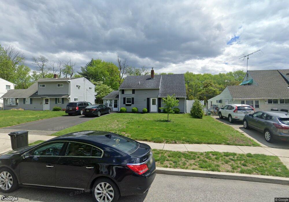
20 Nectar Ln Levittown, PA 19054
Estimated Value: $351,992 - $385,000
2
Beds
1
Bath
1,200
Sq Ft
$305/Sq Ft
Est. Value
About This Home
This home is located at 20 Nectar Ln, Levittown, PA 19054 and is currently estimated at $365,748, approximately $304 per square foot. 20 Nectar Ln is a home located in Bucks County with nearby schools including Penn Valley Elementary School, William Penn Middle School, and Pennsbury High School.
Ownership History
Date
Name
Owned For
Owner Type
Purchase Details
Closed on
Apr 13, 2010
Sold by
Townsend Mary L and Mazzochi Barbara
Bought by
Kerr Gary and Kerr Leah Marie
Current Estimated Value
Home Financials for this Owner
Home Financials are based on the most recent Mortgage that was taken out on this home.
Original Mortgage
$181,649
Outstanding Balance
$122,473
Interest Rate
5.25%
Mortgage Type
FHA
Estimated Equity
$243,275
Purchase Details
Closed on
Dec 13, 2008
Sold by
Taylor Linda and Mazzochi Barbara
Bought by
Townsend Mary L and Mazzochi Barbara
Purchase Details
Closed on
Feb 2, 2006
Sold by
Taylor Linda and Mazzocchi Barbara
Bought by
Taylor Linda and Mazzocchi Barbara
Purchase Details
Closed on
Dec 20, 2004
Sold by
Townsend Mary L
Bought by
Taylor Linda and Mazzocchi Barbara
Purchase Details
Closed on
Jun 25, 1996
Sold by
Geiges Arthur Carl and Geiges Mary L
Bought by
Townsend Mary L and Geiges Mary L
Create a Home Valuation Report for This Property
The Home Valuation Report is an in-depth analysis detailing your home's value as well as a comparison with similar homes in the area
Home Values in the Area
Average Home Value in this Area
Purchase History
| Date | Buyer | Sale Price | Title Company |
|---|---|---|---|
| Kerr Gary | $185,000 | None Available | |
| Townsend Mary L | -- | None Available | |
| Taylor Linda | -- | None Available | |
| Taylor Linda | -- | -- | |
| Townsend Mary L | -- | -- |
Source: Public Records
Mortgage History
| Date | Status | Borrower | Loan Amount |
|---|---|---|---|
| Open | Kerr Gary | $181,649 |
Source: Public Records
Tax History
| Year | Tax Paid | Tax Assessment Tax Assessment Total Assessment is a certain percentage of the fair market value that is determined by local assessors to be the total taxable value of land and additions on the property. | Land | Improvement |
|---|---|---|---|---|
| 2025 | $3,474 | $15,600 | $4,320 | $11,280 |
| 2024 | $3,474 | $15,600 | $4,320 | $11,280 |
| 2023 | $3,329 | $15,600 | $4,320 | $11,280 |
| 2022 | $3,225 | $15,600 | $4,320 | $11,280 |
| 2021 | $3,163 | $15,600 | $4,320 | $11,280 |
| 2020 | $3,163 | $15,600 | $4,320 | $11,280 |
| 2019 | $4,223 | $15,600 | $4,320 | $11,280 |
| 2018 | $3,069 | $15,600 | $4,320 | $11,280 |
| 2017 | $2,992 | $15,600 | $4,320 | $11,280 |
| 2016 | $2,992 | $15,600 | $4,320 | $11,280 |
| 2015 | $2,635 | $15,600 | $4,320 | $11,280 |
| 2014 | $2,635 | $15,600 | $4,320 | $11,280 |
Source: Public Records
Map
Nearby Homes
- 20 Neptune Ln
- 198 Northpark Dr
- 100 Elderberry Dr
- 72 Thornridge Dr
- 5 Thimbleberry Ln
- 11 Easter Ln
- 35 Thimbleberry Ln
- 43 Thimbleberry Ln
- 23 Teaberry Ln
- 1642 Bristol Pike
- Next to 1638 Old Bri Old Bristol Pike
- 9802 Lawson Dr
- 3509 Cannon Dr
- 202 Mission Ln
- 3034 Chandler Dr S
- 4001 Dalton Way
- 434 Thornridge Dr
- 8014 Woodside Dr
- 7513 Harper Dr
- 4328 Dover Dr
Your Personal Tour Guide
Ask me questions while you tour the home.