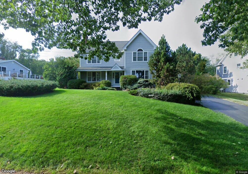
20 Pilot Point Rd Cape Elizabeth, ME 04107
Estimated Value: $1,555,738 - $2,273,000
About This Home
This home is located at 20 Pilot Point Rd, Cape Elizabeth, ME 04107 and is currently estimated at $1,761,185, approximately $514 per square foot. 20 Pilot Point Rd is a home located in Cumberland County with nearby schools including Pond Cove Elementary School, Cape Elizabeth Middle School, and Cape Elizabeth High School.
Ownership History
We collect this data history from publicly available records. To have your information removed, we recommend requesting removal directly through your county’s website.
Purchase Details
Home Financials for this Owner
Home Financials are based on the most recent Mortgage that was taken out on this home.Purchase Details
Home Values in the Area
Average Home Value in this Area
Purchase History
We collect this data history from publicly available records. To have your information removed, we recommend requesting removal directly through your county’s website.
| Date | Buyer | Sale Price | Title Company |
|---|---|---|---|
| -- | -- | ||
| -- | -- |
Mortgage History
We collect this data history from publicly available records. To have your information removed, we recommend requesting removal directly through your county’s website.
| Date | Status | Borrower | Loan Amount |
|---|---|---|---|
| Open | $703,000 |
Tax History
We collect this data history from publicly available records. To have your information removed, we recommend requesting removal directly through your county’s website.
| Year | Tax Paid | Tax Assessment Tax Assessment Total Assessment is a certain percentage of the fair market value that is determined by local assessors to be the total taxable value of land and additions on the property. | Land | Improvement |
|---|---|---|---|---|
| 2025 | $13,501 | $1,151,000 | $430,400 | $720,600 |
| 2024 | $12,731 | $1,157,400 | $430,400 | $727,000 |
| 2023 | $25,856 | $1,157,400 | $430,400 | $727,000 |
| 2022 | $13,394 | $633,300 | $271,500 | $361,800 |
| 2021 | $12,831 | $633,300 | $271,500 | $361,800 |
| 2020 | $12,615 | $633,300 | $271,500 | $361,800 |
| 2019 | $12,463 | $633,300 | $271,500 | $361,800 |
| 2018 | $12,045 | $633,300 | $271,500 | $361,800 |
| 2017 | $11,399 | $633,300 | $271,500 | $361,800 |
| 2016 | $11,108 | $633,300 | $271,500 | $361,800 |
| 2015 | $10,690 | $633,300 | $271,500 | $361,800 |
| 2013 | $10,310 | $633,300 | $271,500 | $361,800 |
Map
- 14 Eastfield Rd
- 12 Reef Rd
- 1 Ledgewood Ln
- 5 Bayberry Ln
- 19 Cunner Ln
- 82 Hunts Point Rd
- 2 Sweet Fern Rd
- 67 Fowler Rd
- 52 Two Lights Rd
- 27 Fowler Rd
- 202 Two Lights Rd
- 60 Richmond Terrace
- 7 Dyer Ln
- 29 Blue Meadow Way Unit 16
- 10 Sunny Bank Rd
- 3 Canter Ln
- 67 Starboard Dr
- 339 Fowler Rd
- 34 Cranbrook Dr
- 1088 Shore Rd
- 13 Algonquin Rd
- 11 Algonquin Rd
- 9 Waumbek Rd
- 24 Pilot Point Rd
- 22 Pilot Point Rd
- 16 Algonquin Rd
- 32 Pilot Point Rd
- 9 Algonquin Rd
- 12 Algonquin Rd
- 18 Algonquin Rd
- 11 Waumbek Rd
- 5 Wabun Rd
- 18 Pilot Point Rd
- 10 Waumbek Rd
- 7 Algonquin Rd
- 9 Wabun Rd
- 12 Waumbek Rd
- 3 Wabun Rd
- 10 Algonquin Rd
- 29 Pilot Point Rd
Ask me questions while you tour the home.