20 Robbin Rd Canton, MA 02021
Estimated Value: $931,000 - $1,038,000
3
Beds
3
Baths
2,316
Sq Ft
$429/Sq Ft
Est. Value
About This Home
This home is located at 20 Robbin Rd, Canton, MA 02021 and is currently estimated at $993,871, approximately $429 per square foot. 20 Robbin Rd is a home located in Norfolk County with nearby schools including Canton High School, St. John the Evangelist School, and Chabad Day School of School.
Ownership History
Date
Name
Owned For
Owner Type
Purchase Details
Closed on
Jan 21, 2025
Sold by
Matanes Ret and Matanes
Bought by
Matanes Mark E
Current Estimated Value
Purchase Details
Closed on
Nov 22, 2022
Sold by
Matanes Ft and Matanes
Bought by
Matanes Ret and Matanes
Create a Home Valuation Report for This Property
The Home Valuation Report is an in-depth analysis detailing your home's value as well as a comparison with similar homes in the area
Home Values in the Area
Average Home Value in this Area
Purchase History
| Date | Buyer | Sale Price | Title Company |
|---|---|---|---|
| Matanes Mark E | -- | None Available | |
| Matanes Ret | -- | None Available |
Source: Public Records
Tax History
| Year | Tax Paid | Tax Assessment Tax Assessment Total Assessment is a certain percentage of the fair market value that is determined by local assessors to be the total taxable value of land and additions on the property. | Land | Improvement |
|---|---|---|---|---|
| 2025 | $9,388 | $949,200 | $333,700 | $615,500 |
| 2024 | $9,465 | $949,300 | $350,100 | $599,200 |
| 2023 | $9,146 | $865,300 | $350,100 | $515,200 |
| 2022 | $9,107 | $802,400 | $333,400 | $469,000 |
| 2021 | $8,257 | $676,800 | $303,100 | $373,700 |
| 2020 | $7,309 | $597,600 | $288,600 | $309,000 |
| 2019 | $6,108 | $492,600 | $262,300 | $230,300 |
| 2018 | $5,924 | $477,000 | $252,300 | $224,700 |
| 2017 | $5,984 | $467,900 | $247,300 | $220,600 |
| 2016 | $5,840 | $456,600 | $241,300 | $215,300 |
| 2015 | $5,697 | $444,400 | $234,300 | $210,100 |
Source: Public Records
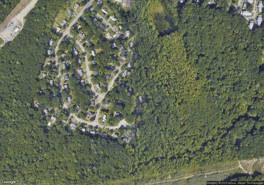
Map
Nearby Homes
- 329 N Main St
- 221 High St
- 25 Bayberry Dr Unit 1
- 42 Bayberry Dr Unit 1
- 20 Dunbar St
- 3 Trowel Shop Pond Rd Unit 3
- 20 Trowel Shop Pond Rd Unit 24
- 16 Trowel Shop Pond Rd Unit 16
- 8 Trowel Shop Pond Rd Unit 8
- 2 Trowel Shop Pond Rd Unit 2
- 12 Trowel Shop Pond Rd Unit 12
- 24 Trowel Shop Pond Rd Unit 24
- 6 Trowel Shop Pond Rd Unit 6
- 424 Washington St
- 8 Walnut Knolls
- 80 Walnut St Unit 403
- 80 Walnut St Unit 311
- 55 Brian Dr Unit G
- 64 Richards Ave
- 2196 Central St
Your Personal Tour Guide
Ask me questions while you tour the home.