20 Smith Farm Rd Weston, CT 06883
Weston AreaEstimated Value: $1,582,000 - $2,019,000
About This Home
This home is located at 20 Smith Farm Rd, Weston, CT 06883 and is currently estimated at $1,737,270, approximately $360 per square foot. 20 Smith Farm Rd is a home located in Fairfield County with nearby schools including Hurlbutt Elementary School, Weston Intermediate School, and Weston Middle School.
Ownership History
We collect this data history from publicly available records. To have your information removed, we recommend requesting removal directly through your county’s website.
Purchase Details
Purchase Details
Home Values in the Area
Average Home Value in this Area
Purchase History
We collect this data history from publicly available records. To have your information removed, we recommend requesting removal directly through your county’s website.
| Date | Buyer | Sale Price | Title Company |
|---|---|---|---|
| -- | None Available | ||
| $730,000 | -- |
Mortgage History
We collect this data history from publicly available records. To have your information removed, we recommend requesting removal directly through your county’s website.
| Date | Status | Borrower | Loan Amount |
|---|---|---|---|
| Previous Owner | $105,000 | ||
| Previous Owner | $511,750 | ||
| Previous Owner | $545,000 | ||
| Previous Owner | $520,000 |
Tax History
We collect this data history from publicly available records. To have your information removed, we recommend requesting removal directly through your county’s website.
| Year | Tax Paid | Tax Assessment Tax Assessment Total Assessment is a certain percentage of the fair market value that is determined by local assessors to be the total taxable value of land and additions on the property. | Land | Improvement |
|---|---|---|---|---|
| 2025 | $19,365 | $810,250 | $207,200 | $603,050 |
| 2024 | $19,017 | $810,250 | $207,200 | $603,050 |
| 2023 | $16,714 | $505,560 | $207,200 | $298,360 |
| 2022 | $16,668 | $505,560 | $207,200 | $298,360 |
| 2021 | $16,643 | $505,560 | $207,200 | $298,360 |
| 2020 | $16,365 | $505,560 | $207,200 | $298,360 |
| 2019 | $16,365 | $505,560 | $207,200 | $298,360 |
| 2018 | $16,391 | $557,700 | $231,800 | $325,900 |
| 2017 | $16,123 | $557,700 | $231,800 | $325,900 |
| 2016 | $15,928 | $557,700 | $231,800 | $325,900 |
| 2015 | $15,989 | $557,700 | $231,800 | $325,900 |
| 2014 | $15,749 | $557,700 | $231,800 | $325,900 |
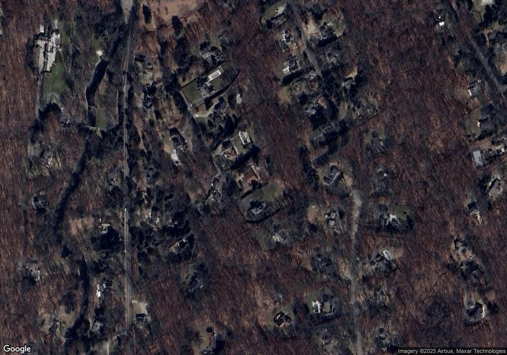
Map
- 32 Silver Ridge Common
- 2 High Noon Rd
- 25 Sunset Dr
- 103 Steep Hill Rd
- 58 Fanton Hill Rd
- 9 Fall Ridge Rd
- B Bridge Rd
- 123 Lyons Plain Rd
- 214 Good Hill Rd
- 11 Hunt Ln
- 14 Saw Mill Rd
- 22 Codfish Ln
- 11 Judges Hollow Rd
- 32 Steep Hill Rd
- 4 Aspetuck Hill Ln
- 7 Old Hyde Rd
- 38 Old Redding Rd
- 119 Kettle Creek Rd
- 73 Foggwood Cir
- 195 Steep Hill Rd
- 22 Smith Farm Rd
- 14 Smith Farm Rd
- 11 Smith Farm Rd
- 34 Silver Ridge Common
- 10 Smith Farm Rd
- 5 Smith Farm Rd
- 42 Silver Ridge Common
- 53 Blueberry Hill Rd
- 38 Silver Ridge Common
- 207 Lyons Plain Rd
- 197 Lyons Plain Rd
- 201 Lyons Plain Rd
- 51 Blueberry Hill Rd
- 6 Smith Ridge
- #6 Smith Ridge
- 6 Smith Farm Rd
- 47 Blueberry Hill Rd
- 193 Lyons Plain Rd
- 215 Lyons Plain Rd
- 58 Blueberry Hill Rd
Ask me questions while you tour the home.