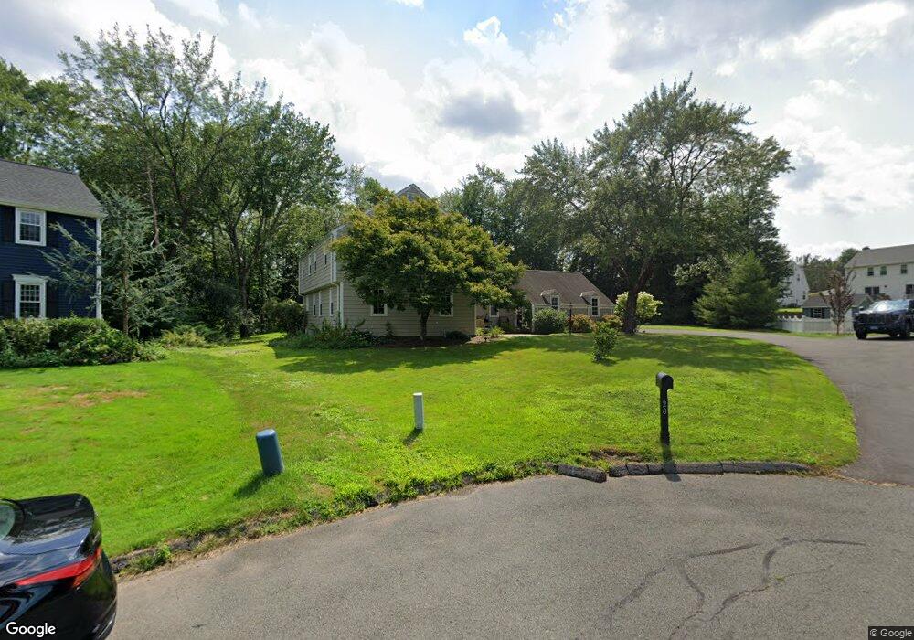
20 Stockade Cir Wethersfield, CT 06109
Wethersfield AreaEstimated Value: $610,000 - $775,000
About This Home
This home is located at 20 Stockade Cir, Wethersfield, CT 06109 and is currently estimated at $667,752, approximately $276 per square foot. 20 Stockade Cir is a home located in Hartford County with nearby schools including Highcrest School, Silas Deane Middle School, and Wethersfield High School.
Ownership History
We collect this data history from publicly available records. To have your information removed, we recommend requesting removal directly through your county’s website.
Purchase Details
Purchase Details
Home Values in the Area
Average Home Value in this Area
Purchase History
We collect this data history from publicly available records. To have your information removed, we recommend requesting removal directly through your county’s website.
| Date | Buyer | Sale Price | Title Company |
|---|---|---|---|
| $462,000 | -- | ||
| $265,500 | -- |
Mortgage History
We collect this data history from publicly available records. To have your information removed, we recommend requesting removal directly through your county’s website.
| Date | Status | Borrower | Loan Amount |
|---|---|---|---|
| Open | $310,000 | ||
| Previous Owner | $145,000 | ||
| Previous Owner | $255,000 | ||
| Previous Owner | $260,000 | ||
| Previous Owner | $160,000 |
Tax History
We collect this data history from publicly available records. To have your information removed, we recommend requesting removal directly through your county’s website.
| Year | Tax Paid | Tax Assessment Tax Assessment Total Assessment is a certain percentage of the fair market value that is determined by local assessors to be the total taxable value of land and additions on the property. | Land | Improvement |
|---|---|---|---|---|
| 2025 | $17,414 | $422,460 | $115,010 | $307,450 |
| 2024 | $12,025 | $278,220 | $89,600 | $188,620 |
| 2023 | $11,624 | $278,220 | $89,600 | $188,620 |
| 2022 | $10,416 | $253,550 | $89,600 | $163,950 |
| 2021 | $10,312 | $253,550 | $89,600 | $163,950 |
| 2020 | $10,016 | $246,150 | $89,600 | $156,550 |
| 2019 | $10,028 | $246,150 | $89,600 | $156,550 |
| 2018 | $9,620 | $235,900 | $89,300 | $146,600 |
| 2017 | $9,382 | $235,900 | $89,300 | $146,600 |
| 2016 | $9,092 | $235,900 | $89,300 | $146,600 |
| 2015 | $9,009 | $235,900 | $89,300 | $146,600 |
| 2014 | $8,667 | $235,900 | $89,300 | $146,600 |
Map
- 7 Lantern Ln
- 268 Fox Hill Rd
- 71 Dusty Ln
- 7 Alexandra Ln
- 72 Old Post Rd
- 20 Pelican Ct
- 155 Old Common Rd
- 36 Cross Hill Rd
- 61 Hollister Dr
- 501 Highland St
- 25 Amato Dr
- 50 Heather Hill
- 1004 Maple St
- 9 Pond Side Dr
- 21 Marshalls Meadows
- 62 Highland St
- 64 Little Oak Ln Unit 64
- 101 Collier Rd
- 44 Palomina Way
- 61 Luca Ln
- 15 Sage Rd
- 19 Sage Rd
- 278 Highcrest Rd
- 286 Highcrest Rd
- 270 Highcrest Rd
- 20 Sage Rd
- 16 Stockade Cir
- 24 Stockade Cir
- 16 Sage Rd
- 298 Highcrest Rd
- 262 Highcrest Rd
- 6 Goff Brook Cir
- 25 Stockade Cir
- 306 Highcrest Rd
- 8 Stockade Cir
- 285 Highcrest Rd
- 275 Hang Dog Ln
- 254 Highcrest Rd
- 21 Stockade Cir
- 293 Highcrest Rd
Ask me questions while you tour the home.