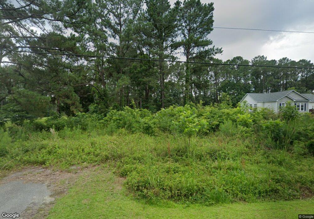
20 Stroup Rd Seabrook, SC 29940
Dale NeighborhoodEstimated Value: $39,552 - $107,000
Studio
--
Bath
--
Sq Ft
47,045
Sq Ft Lot
About This Home
This home is located at 20 Stroup Rd, Seabrook, SC 29940 and is currently estimated at $73,276. 20 Stroup Rd is a home located in Beaufort County with nearby schools including Whale Branch Elementary School, Whale Branch Middle School, and Whale Branch Early College High School.
Ownership History
Date
Name
Owned For
Owner Type
Purchase Details
Closed on
Mar 6, 2007
Sold by
Green Jacqueline and Green Chris Eugene
Bought by
C I C Of Beaufort Inc
Current Estimated Value
Purchase Details
Closed on
Apr 19, 2001
Sold by
Cappelmann Hope Mcleod and Mcleod Claude E
Bought by
Green Jacqueline Beauford and Green Chris Eugene
Home Financials for this Owner
Home Financials are based on the most recent Mortgage that was taken out on this home.
Original Mortgage
$12,781
Interest Rate
6.99%
Mortgage Type
Purchase Money Mortgage
Create a Home Valuation Report for This Property
The Home Valuation Report is an in-depth analysis detailing your home's value as well as a comparison with similar homes in the area
Home Values in the Area
Average Home Value in this Area
Purchase History
| Date | Buyer | Sale Price | Title Company |
|---|---|---|---|
| C I C Of Beaufort Inc | $8,000 | None Available | |
| Green Jacqueline Beauford | $15,000 | -- |
Source: Public Records
Mortgage History
| Date | Status | Borrower | Loan Amount |
|---|---|---|---|
| Previous Owner | Green Jacqueline Beauford | $12,781 |
Source: Public Records
Tax History
| Year | Tax Paid | Tax Assessment Tax Assessment Total Assessment is a certain percentage of the fair market value that is determined by local assessors to be the total taxable value of land and additions on the property. | Land | Improvement |
|---|---|---|---|---|
| 2025 | $654 | $1,470 | $0 | $0 |
| 2024 | $654 | $1,470 | $0 | $0 |
| 2023 | $649 | $1,470 | $0 | $0 |
| 2022 | $543 | $1,280 | $0 | $0 |
| 2021 | $535 | $1,280 | $0 | $0 |
| 2020 | $526 | $1,280 | $0 | $0 |
| 2019 | $521 | $1,280 | $0 | $0 |
| 2018 | $496 | $1,280 | $0 | $0 |
| 2017 | $483 | $1,170 | $0 | $0 |
| 2016 | $475 | $1,170 | $0 | $0 |
| 2014 | $391 | $1,170 | $0 | $0 |
Source: Public Records
Map
Nearby Homes
- 57 Community Center Rd
- 972 Kinloch Rd
- 163 Keans Neck Rd
- 3 Sea Crest Ln
- 29 State Road S-7-769
- 6 Dan Dr
- 20 Crystal St
- 117 Teal Bluff Blvd
- 26 Swamprose Ln
- 40 Creekmoor Ln
- 28 Jeannine Ct
- 126 Stuart Point Rd
- 15 And 19 Oakhurst Rd
- 19 Oakhurst Rd
- 15 Oakhurst Rd
- 119 Teal Bluff Blvd
- 23 Seabrook Rd
- 1843 Carolina Ave
- 17 Haynes Rd
- 75 Ihly Farm Rd
- 16 Stroup Rd
- 28 Stroup Rd
- 24 Stroup Rd
- 8 Stroup Rd
- 12 Stroup Rd
- 32 Stroup Rd
- 185 Media Luna Dr
- 175 Browns Island Rd
- 36 Stroup Rd
- 189 Media Luna Dr
- 151 Browns Island Rd
- 176-178 Browns Island
- 195 Media Luna Dr
- 38 Stroup Rd
- 163 Browns Island Rd
- 46 Stroup Rd
- 196 Media Luna Dr
- 199 Media Luna Dr
- 180 Browns Island Rd
- 178 Browns Island Rd
Your Personal Tour Guide
Ask me questions while you tour the home.