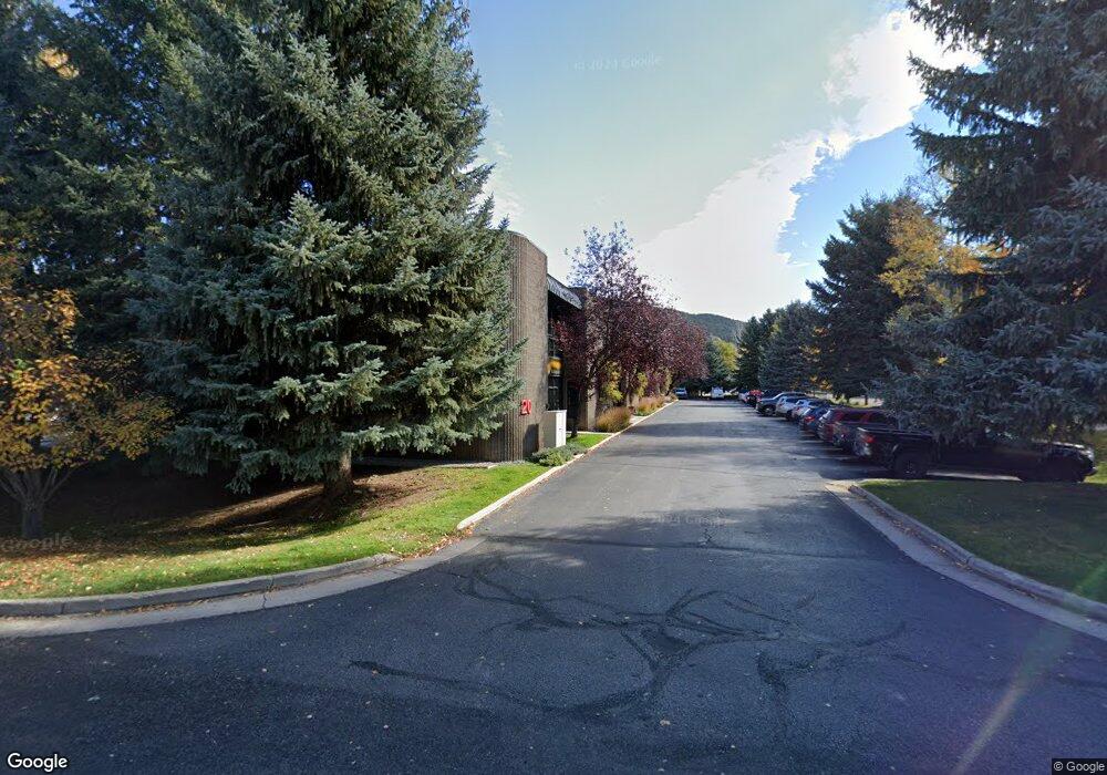
20 Sunset Dr Unit 1B Basalt, CO 81621
Estimated Value: $612,620
Studio
1
Bath
1,435
Sq Ft
$427/Sq Ft
Est. Value
About This Home
This home is located at 20 Sunset Dr Unit 1B, Basalt, CO 81621 and is currently estimated at $612,620, approximately $426 per square foot. 20 Sunset Dr Unit 1B is a home located in Eagle County with nearby schools including Waldorf School on the Roaring Fork and Cornerstone Classical School.
Ownership History
Date
Name
Owned For
Owner Type
Purchase Details
Closed on
Dec 30, 2021
Sold by
Unilink Investments Services Llc
Bought by
20 Sunet 2 Llc
Current Estimated Value
Purchase Details
Closed on
Jan 30, 2009
Sold by
Linney Johnson H and Hall Sandra S
Bought by
Unilink Investment Services Llc
Purchase Details
Closed on
Dec 15, 2004
Sold by
Linney Johnson H and Hall Sandra S
Bought by
Unilink Investment Services Llc
Purchase Details
Closed on
Jan 20, 2004
Sold by
Gaechter & Back Llc
Bought by
Linney Johnson H and Hall Sandra S
Home Financials for this Owner
Home Financials are based on the most recent Mortgage that was taken out on this home.
Original Mortgage
$261,375
Interest Rate
5.79%
Mortgage Type
Commercial
Create a Home Valuation Report for This Property
The Home Valuation Report is an in-depth analysis detailing your home's value as well as a comparison with similar homes in the area
Home Values in the Area
Average Home Value in this Area
Purchase History
We collect this data history from publicly available records. To have your information removed, we recommend requesting removal directly through your county’s website.
| Date | Buyer | Sale Price | Title Company |
|---|---|---|---|
| 20 Sunet 2 Llc | $450,000 | Land Title Guarantee Company | |
| Unilink Investment Services Llc | -- | None Available | |
| Unilink Investment Services Llc | -- | -- | |
| Linney Johnson H | $348,500 | -- |
Source: Public Records
Mortgage History
We collect this data history from publicly available records. To have your information removed, we recommend requesting removal directly through your county’s website.
| Date | Status | Borrower | Loan Amount |
|---|---|---|---|
| Previous Owner | Linney Johnson H | $261,375 |
Source: Public Records
Tax History
| Year | Tax Paid | Tax Assessment Tax Assessment Total Assessment is a certain percentage of the fair market value that is determined by local assessors to be the total taxable value of land and additions on the property. | Land | Improvement |
|---|---|---|---|---|
| 2025 | $12,780 | $183,770 | -- | $183,770 |
| 2024 | $12,425 | $148,420 | -- | $148,420 |
| 2023 | $12,425 | $148,420 | $0 | $148,420 |
| 2022 | $9,305 | $102,300 | $0 | $102,300 |
| 2021 | $9,305 | $102,300 | $0 | $102,300 |
| 2020 | $6,591 | $75,180 | $0 | $75,180 |
| 2019 | $6,656 | $75,180 | $0 | $75,180 |
| 2018 | $6,751 | $75,180 | $0 | $75,180 |
| 2017 | $6,440 | $75,180 | $0 | $75,180 |
| 2016 | $8,175 | $93,970 | $0 | $93,970 |
| 2015 | -- | $93,970 | $0 | $93,970 |
| 2014 | -- | $94,720 | $0 | $94,720 |
Source: Public Records
Map
Nearby Homes
- 405 Park Ave
- 44 Hooks Ln
- 1400 E Valley Rd Unit 115
- 22860 Two Rivers Rd Unit The River Lofts 372
- 22860 Two Rivers Rd Unit The River Lofts 274
- 103 Willits Way Unit 204
- 104 Lakeside Dr
- 162 Original Rd
- 103 Willow Rd Unit 106
- 103 Willow Rd Unit 205
- 103 Willow Rd Unit 101
- 103 Willow Rd Unit 105
- 103 Willow Rd Unit 103
- 103 Willow Rd Unit 204
- 103 Willow Rd Unit 107
- 103 Willow Rd Unit 207
- 103 Willow Rd Unit 203
- 103 Willow Rd Unit 206
- 103 Willow Rd Unit 201
- 103 Willow Rd Unit 202
- 20 Sunset Dr Unit 6 & 7
- 20 Sunset Dr Unit 1b
- 20 Sunset Dr Unit 4
- 20 Sunset Dr Unit 1-A
- 20 Sunset Dr Unit 10
- 20 Sunset Dr Unit 1A
- 20 Sunset Dr Unit 8
- 20 Sunset Dr
- 20 Sunset Dr Unit 4
- 40 Sunset Dr Unit 5
- 40 Sunset Dr Unit 5
- 40 Sunset Dr Unit 6
- 40 Sunset Dr Unit 9
- 40 Sunset Dr Unit 9
- 40 Sunset Dr Unit 8
- 40 Sunset Dr Unit 2
- 40 Sunset Dr Unit 7
- 40 Sunset Dr
- 40 Sunset Dr Unit 10
- 40 Sunset Dr Unit 8
Your Personal Tour Guide
Ask me questions while you tour the home.