20 Taft St Black Mountain, NC 28711
Estimated Value: $413,000 - $470,000
2
Beds
2
Baths
1,587
Sq Ft
$274/Sq Ft
Est. Value
About This Home
This home is located at 20 Taft St, Black Mountain, NC 28711 and is currently estimated at $435,070, approximately $274 per square foot. 20 Taft St is a home located in Buncombe County with nearby schools including Black Mountain Elementary School, Black Mountain Primary, and Charles D. Owen Middle School.
Ownership History
Date
Name
Owned For
Owner Type
Purchase Details
Closed on
Aug 12, 2022
Sold by
Pauly Robert F and Ballard Astrid
Bought by
Robert Franklin Page And Astrid Ballard Pauly
Current Estimated Value
Purchase Details
Closed on
Nov 16, 2007
Sold by
Burleson Norma Jean
Bought by
Pauly Robert F and Pauly Astrid Ballard
Home Financials for this Owner
Home Financials are based on the most recent Mortgage that was taken out on this home.
Original Mortgage
$116,000
Interest Rate
6.26%
Mortgage Type
Unknown
Create a Home Valuation Report for This Property
The Home Valuation Report is an in-depth analysis detailing your home's value as well as a comparison with similar homes in the area
Home Values in the Area
Average Home Value in this Area
Purchase History
| Date | Buyer | Sale Price | Title Company |
|---|---|---|---|
| Robert Franklin Page And Astrid Ballard Pauly | -- | Chicago Title | |
| Pauly Robert F | $145,000 | None Available |
Source: Public Records
Mortgage History
| Date | Status | Borrower | Loan Amount |
|---|---|---|---|
| Previous Owner | Pauly Robert F | $116,000 |
Source: Public Records
Tax History
| Year | Tax Paid | Tax Assessment Tax Assessment Total Assessment is a certain percentage of the fair market value that is determined by local assessors to be the total taxable value of land and additions on the property. | Land | Improvement |
|---|---|---|---|---|
| 2025 | $2,525 | $301,100 | $34,800 | $266,300 |
| 2024 | $2,525 | $301,100 | $34,800 | $266,300 |
| 2023 | $2,525 | $301,100 | $34,800 | $266,300 |
| 2022 | $2,391 | $301,100 | $0 | $0 |
| 2021 | $2,391 | $301,100 | $0 | $0 |
| 2020 | $1,766 | $205,000 | $0 | $0 |
| 2019 | $1,717 | $199,300 | $0 | $0 |
| 2018 | $1,301 | $151,000 | $0 | $0 |
| 2017 | $1,215 | $101,500 | $0 | $0 |
| 2016 | $994 | $101,500 | $0 | $0 |
| 2015 | $994 | $101,500 | $0 | $0 |
| 2014 | $994 | $101,500 | $0 | $0 |
Source: Public Records
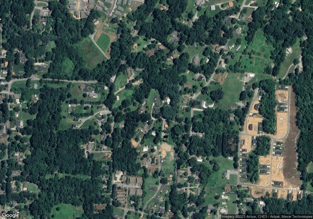
Map
Nearby Homes
- 102 Kerlee St Unit A
- 139 Brooks Cove Rd
- 28 Pearl St
- 224 Slade Ln
- 211 Ruby Ave
- 244 Slade Ln
- 109 Crew Ln
- 1112 Blueview Dr
- 427 McCoy Cove Rd
- 215 McCoy Cove Rd
- 107 High St
- 522 Brandon Rd
- 0000 Lookout Terrace Rd
- 35 Cotton Creek Cir
- 10 Cotton Creek Cir
- 102 Aycock St
- 7 Silver Place
- 7 and 11 Carolina Corner
- 212 & 214 Portmanvilla Rd
- 112 Louisa St
Your Personal Tour Guide
Ask me questions while you tour the home.