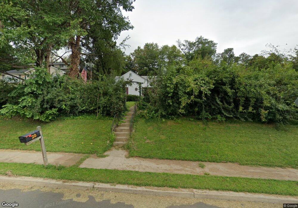
20 Upper Ferry Rd Ewing, NJ 08628
Ewingville NeighborhoodEstimated Value: $377,000 - $509,000
Studio
--
Bath
1,514
Sq Ft
$282/Sq Ft
Est. Value
About This Home
This home is located at 20 Upper Ferry Rd, Ewing, NJ 08628 and is currently estimated at $427,252, approximately $282 per square foot. 20 Upper Ferry Rd is a home located in Mercer County with nearby schools including Ewing High School, Paul Robeson Charter School For The Humanities, and Trenton Stem-To-Civics Charter School.
Ownership History
Date
Name
Owned For
Owner Type
Purchase Details
Closed on
Oct 18, 1997
Sold by
Henderson Edward J
Bought by
Kowal John and Kowal Anne Marie
Current Estimated Value
Home Financials for this Owner
Home Financials are based on the most recent Mortgage that was taken out on this home.
Original Mortgage
$132,000
Outstanding Balance
$21,263
Interest Rate
7.48%
Estimated Equity
$405,989
Purchase Details
Closed on
Aug 10, 1995
Sold by
Henderson James
Bought by
Nj Dept Of Trans
Create a Home Valuation Report for This Property
The Home Valuation Report is an in-depth analysis detailing your home's value as well as a comparison with similar homes in the area
Home Values in the Area
Average Home Value in this Area
Purchase History
| Date | Buyer | Sale Price | Title Company |
|---|---|---|---|
| Kowal John | $135,500 | -- | |
| Nj Dept Of Trans | $3,000 | -- |
Source: Public Records
Mortgage History
| Date | Status | Borrower | Loan Amount |
|---|---|---|---|
| Open | Kowal John | $132,000 |
Source: Public Records
Tax History
| Year | Tax Paid | Tax Assessment Tax Assessment Total Assessment is a certain percentage of the fair market value that is determined by local assessors to be the total taxable value of land and additions on the property. | Land | Improvement |
|---|---|---|---|---|
| 2025 | $8,295 | $210,900 | $58,300 | $152,600 |
| 2024 | $7,797 | $210,900 | $58,300 | $152,600 |
| 2023 | $7,797 | $210,900 | $58,300 | $152,600 |
| 2022 | $7,586 | $210,900 | $58,300 | $152,600 |
| 2021 | $7,400 | $210,900 | $58,300 | $152,600 |
| 2020 | $7,295 | $210,900 | $58,300 | $152,600 |
| 2019 | $7,105 | $210,900 | $58,300 | $152,600 |
| 2018 | $7,310 | $138,400 | $49,800 | $88,600 |
| 2017 | $7,481 | $138,400 | $49,800 | $88,600 |
| 2016 | $7,379 | $138,400 | $49,800 | $88,600 |
| 2015 | $7,281 | $138,400 | $49,800 | $88,600 |
| 2014 | $7,262 | $138,400 | $49,800 | $88,600 |
Source: Public Records
Map
Nearby Homes
- 30 Upper Ferry Rd
- 2148 Pennington Rd
- 27 Bayberry Rd
- 13 Hickory Hill Dr
- 20 Corey Dr
- 2 Rockleigh Dr
- 235 Masterson Ct
- 222 Masterson Ct
- 231 Masterson Ct
- 146 Masterson Ct
- 19 van Saun Dr
- 53 Carlton Ave
- 34 Lopatcong Dr
- 2 Sparrow Ct
- 6 Sparrow Ct
- 194 Bull Run Rd
- 108 Susan Dr
- 11 Metekunk Dr
- 3 Beth Ann Way
- 1247 Lower Ferry Rd
- 18 Upper Ferry Rd
- 24 Upper Ferry Rd
- 12 Upper Ferry Rd
- 26 Upper Ferry Rd
- 10 Upper Ferry Rd
- 23 Hilltop Rd
- 28 Upper Ferry Rd
- 21 Upper Ferry Rd
- 25 Hilltop Rd
- 19 Hilltop Rd
- 19 Upper Ferry Rd
- 27 Hilltop Rd
- 30 Upper Ferry Rd
- 15 Hilltop Rd
- 25 Upper Ferry Rd
- 31 Hilltop Rd
- 9 Hilltop Rd
- 34 Upper Ferry Rd
- 2109 Pennington Rd
- 35 Hilltop Rd
Your Personal Tour Guide
Ask me questions while you tour the home.